
Summary
1 dam stands as a testament to water resource management and climate resilience. Built in 1954 by the Natural Resources Conservation Service, this earth dam serves the primary purpose of water supply for irrigation and domestic use. With a height of 19 feet and a storage capacity of 82 acre-feet, the dam sits on Tr Carriger Creek in the city of El Verano.
Maintained by private owners, the Lowrey No. 1 dam is regulated by the California Department of Water Resources for safety and inspection. Despite its significant hazard potential, the dam's condition assessment in 2017 deemed it satisfactory. It is important to note that the dam has a close proximity to the Sacramento District and is subject to state jurisdiction and enforcement. With a drainage area of 0.14 square miles, this structure plays a crucial role in managing water resources in the region.
For water resource and climate enthusiasts, the Lowrey No. 1 dam is a prime example of the intersection between infrastructure, regulation, and environmental stewardship. As a key component in the local water supply system, the dam's successful operation underscores the importance of effective dam management in the face of changing climate conditions. With regular inspections and a satisfactory condition assessment, this earth dam continues to play a vital role in ensuring water security for the community of El Verano and beyond.
Year Completed |
1954 |
Dam Length |
210 |
Dam Height |
19 |
River Or Stream |
Tr Carriger Creek |
Primary Dam Type |
Earth |
Surface Area |
16 |
Hydraulic Height |
15 |
Drainage Area |
0.14 |
Nid Storage |
82 |
Hazard Potential |
Significant |
Nid Height |
19 |
Seasonal Comparison
Weather Forecast
Nearby Streamflow Levels
Dam Data Reference
Condition Assessment
SatisfactoryNo existing or potential dam safety deficiencies are recognized. Acceptable performance is expected under all loading conditions (static, hydrologic, seismic) in accordance with the minimum applicable state or federal regulatory criteria or tolerable risk guidelines.
Fair
No existing dam safety deficiencies are recognized for normal operating conditions. Rare or extreme hydrologic and/or seismic events may result in a dam safety deficiency. Risk may be in the range to take further action. Note: Rare or extreme event is defined by the regulatory agency based on their minimum
Poor A dam safety deficiency is recognized for normal operating conditions which may realistically occur. Remedial action is necessary. POOR may also be used when uncertainties exist as to critical analysis parameters which identify a potential dam safety deficiency. Investigations and studies are necessary.
Unsatisfactory
A dam safety deficiency is recognized that requires immediate or emergency remedial action for problem resolution.
Not Rated
The dam has not been inspected, is not under state or federal jurisdiction, or has been inspected but, for whatever reason, has not been rated.
Not Available
Dams for which the condition assessment is restricted to approved government users.
Hazard Potential Classification
HighDams assigned the high hazard potential classification are those where failure or mis-operation will probably cause loss of human life.
Significant
Dams assigned the significant hazard potential classification are those dams where failure or mis-operation results in no probable loss of human life but can cause economic loss, environment damage, disruption of lifeline facilities, or impact other concerns. Significant hazard potential classification dams are often located in predominantly rural or agricultural areas but could be in areas with population and significant infrastructure.
Low
Dams assigned the low hazard potential classification are those where failure or mis-operation results in no probable loss of human life and low economic and/or environmental losses. Losses are principally limited to the owner's property.
Undetermined
Dams for which a downstream hazard potential has not been designated or is not provided.
Not Available
Dams for which the downstream hazard potential is restricted to approved government users.
Area Campgrounds
| Location | Reservations | Toilets |
|---|---|---|
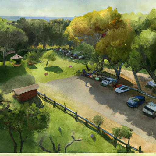 Camp Via (Sonoma Developmental Center)
|
||
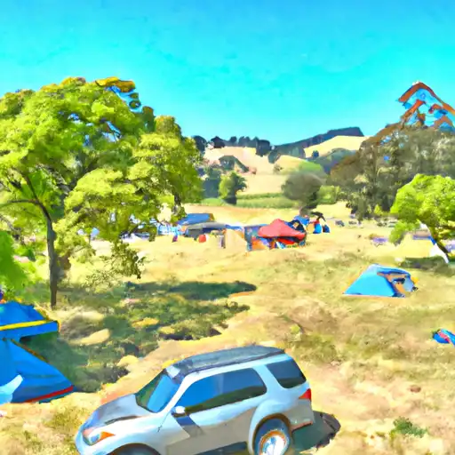 Sugarloaf Ridge State Park
|
||
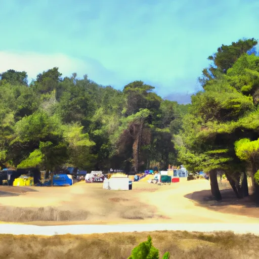 Spring Lake Regional Park
|
||
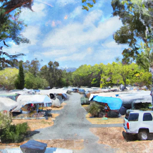 Sonoma County Fairgrounds RV Park
|
 Lowrey No. 1