
South Mountain Reservoir Report
Nearby: Telephone Flat Green Tank
Last Updated: April 1, 2026
South Mountain is a federally owned Earth dam located in Modoc, California, constructed in 1980 for purposes of fire protection, stock, and small fish pond management.
Summary
The dam stands at a height of 10 feet with a hydraulic height of 8 feet, and a length of 1235 feet. It has a storage capacity of 566 acre-feet and a drainage area of 4.7 square miles.
This dam, managed by the Forest Service, has a controlled spillway with a width of 30 feet and outlet gates consisting of a slide (sluice gate). Despite being rated as having a low hazard potential, the risk assessment for South Mountain indicates a very high risk level (1). The last inspection was conducted in August 2010, with an inspection frequency of every 10 years. The dam is essential for water resource management in the area and plays a crucial role in mitigating the impacts of climate change on the local ecosystem.
With its strategic location and purposeful design, South Mountain serves as a vital infrastructure for water storage and regulation in the region. As climate change continues to affect water resources, the maintenance and monitoring of dams like South Mountain are crucial for ensuring the resilience of the surrounding environment. The Forest Service's ongoing management of the dam highlights the importance of proactive measures in adapting to changing climate conditions and protecting water resources for future generations.
°F
°F
mph
Wind
%
Humidity
15-Day Weather Outlook
Year Completed |
1980 |
Dam Length |
1235 |
Dam Height |
10 |
Primary Dam Type |
Earth |
Hydraulic Height |
8 |
Drainage Area |
4.7 |
Nid Storage |
566 |
Structural Height |
10 |
Outlet Gates |
Slide (sluice gate) |
Hazard Potential |
Low |
Nid Height |
10 |
Seasonal Comparison
5-Day Hourly Forecast Detail
Nearby Streamflow Levels
 Pit R Nr Canby Ca
|
26cfs |
 Sf Pit R Nr Likely Ca
|
12cfs |
Dam Data Reference
Condition Assessment
SatisfactoryNo existing or potential dam safety deficiencies are recognized. Acceptable performance is expected under all loading conditions (static, hydrologic, seismic) in accordance with the minimum applicable state or federal regulatory criteria or tolerable risk guidelines.
Fair
No existing dam safety deficiencies are recognized for normal operating conditions. Rare or extreme hydrologic and/or seismic events may result in a dam safety deficiency. Risk may be in the range to take further action. Note: Rare or extreme event is defined by the regulatory agency based on their minimum
Poor A dam safety deficiency is recognized for normal operating conditions which may realistically occur. Remedial action is necessary. POOR may also be used when uncertainties exist as to critical analysis parameters which identify a potential dam safety deficiency. Investigations and studies are necessary.
Unsatisfactory
A dam safety deficiency is recognized that requires immediate or emergency remedial action for problem resolution.
Not Rated
The dam has not been inspected, is not under state or federal jurisdiction, or has been inspected but, for whatever reason, has not been rated.
Not Available
Dams for which the condition assessment is restricted to approved government users.
Hazard Potential Classification
HighDams assigned the high hazard potential classification are those where failure or mis-operation will probably cause loss of human life.
Significant
Dams assigned the significant hazard potential classification are those dams where failure or mis-operation results in no probable loss of human life but can cause economic loss, environment damage, disruption of lifeline facilities, or impact other concerns. Significant hazard potential classification dams are often located in predominantly rural or agricultural areas but could be in areas with population and significant infrastructure.
Low
Dams assigned the low hazard potential classification are those where failure or mis-operation results in no probable loss of human life and low economic and/or environmental losses. Losses are principally limited to the owner's property.
Undetermined
Dams for which a downstream hazard potential has not been designated or is not provided.
Not Available
Dams for which the downstream hazard potential is restricted to approved government users.
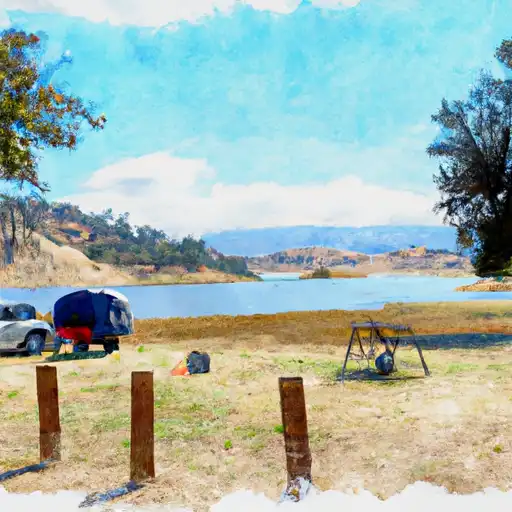
Area Campgrounds
| Location | Reservations | Toilets |
|---|---|---|
 Janes Reservoir
|
||
 Jane's Reservoir Campground
|
||
 Reservoir C
|
||
 Reservoir C Campground
|
 South Mountain