
Tingey Reservoir Report
Nearby: Nash Five Mile Erosion Contr
Last Updated: December 24, 2025
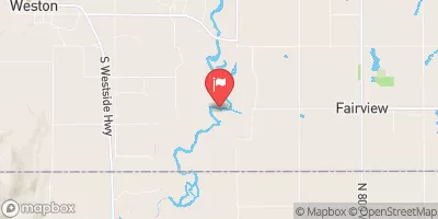
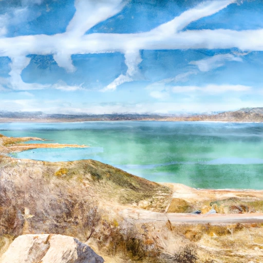
Located in Franklin, Idaho, Tingey is a privately owned irrigation structure with a low hazard potential and fair condition assessment.
°F
°F
mph
Wind
%
Humidity
Summary
Built in 1955 by the USDA NRCS, this earth dam stands at 24.6 feet high and spans 450 feet in length, providing essential water storage for agricultural purposes in the region. The dam holds a storage capacity of 132 acre-feet and is regulated by the Idaho Department of Water Resources.
Tingey plays a crucial role in water management, serving as a vital resource for the surrounding area's irrigation needs. The dam is situated on an unnamed stream that feeds into the Bear River, contributing to the overall water supply in the region. With a spillway width of 5 feet and a maximum discharge of 13 cubic feet per second, Tingey is equipped to handle controlled water releases during peak flow periods.
Despite its age, Tingey continues to be regularly inspected and maintained, with the last assessment conducted in July 2017. The dam has undergone no modifications since its completion and is considered to have moderate risk, emphasizing the importance of ongoing risk management measures. Tingey stands as a testament to the essential role of water infrastructure in sustaining agricultural operations and ensuring water availability for the community.
Year Completed |
1955 |
Dam Length |
450 |
Dam Height |
24.6 |
River Or Stream |
UNNAMED STREAM BEAR RIVER |
Surface Area |
17 |
Hydraulic Height |
22 |
Drainage Area |
4.8 |
Nid Storage |
132 |
Outlet Gates |
Slide (sluice gate) |
Hazard Potential |
Low |
Foundations |
Rock, Soil |
Nid Height |
25 |
Seasonal Comparison
Weather Forecast
Nearby Streamflow Levels
 Bear River At Idaho-Utah State Line
|
523cfs |
 Logan River Above State Dam
|
98cfs |
 Logan
Logan
|
0cfs |
 Blacksmith Fork Ab U.P.&L. Co
|
58cfs |
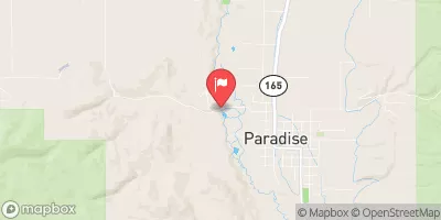 Little Bear River At Paradise
|
39cfs |
 Bear River Near Corinne
|
998cfs |
Dam Data Reference
Condition Assessment
SatisfactoryNo existing or potential dam safety deficiencies are recognized. Acceptable performance is expected under all loading conditions (static, hydrologic, seismic) in accordance with the minimum applicable state or federal regulatory criteria or tolerable risk guidelines.
Fair
No existing dam safety deficiencies are recognized for normal operating conditions. Rare or extreme hydrologic and/or seismic events may result in a dam safety deficiency. Risk may be in the range to take further action. Note: Rare or extreme event is defined by the regulatory agency based on their minimum
Poor A dam safety deficiency is recognized for normal operating conditions which may realistically occur. Remedial action is necessary. POOR may also be used when uncertainties exist as to critical analysis parameters which identify a potential dam safety deficiency. Investigations and studies are necessary.
Unsatisfactory
A dam safety deficiency is recognized that requires immediate or emergency remedial action for problem resolution.
Not Rated
The dam has not been inspected, is not under state or federal jurisdiction, or has been inspected but, for whatever reason, has not been rated.
Not Available
Dams for which the condition assessment is restricted to approved government users.
Hazard Potential Classification
HighDams assigned the high hazard potential classification are those where failure or mis-operation will probably cause loss of human life.
Significant
Dams assigned the significant hazard potential classification are those dams where failure or mis-operation results in no probable loss of human life but can cause economic loss, environment damage, disruption of lifeline facilities, or impact other concerns. Significant hazard potential classification dams are often located in predominantly rural or agricultural areas but could be in areas with population and significant infrastructure.
Low
Dams assigned the low hazard potential classification are those where failure or mis-operation results in no probable loss of human life and low economic and/or environmental losses. Losses are principally limited to the owner's property.
Undetermined
Dams for which a downstream hazard potential has not been designated or is not provided.
Not Available
Dams for which the downstream hazard potential is restricted to approved government users.
Area Campgrounds
| Location | Reservations | Toilets |
|---|---|---|
 Dry Canyon
|
||
 Dry Canyon Campground
|
||
 High Creek Campground
|
||
 High Creek
|
 Tingey
 Newton Reservoir