
Mill Creek Structure Reservoir Report
Last Updated: December 24, 2025
Mill Creek Structure, also known as North Branch Mill Creek Dam, is a privately owned earth dam located in Yale, Michigan.
°F
°F
mph
Wind
%
Humidity
Summary
Built in 1965 by the USDA-SCS, this structure serves the primary purpose of flood risk reduction along the North Branch Mill Creek. The dam stands at a height of 28 feet with a hydraulic height of 25 feet, spanning a length of 1190 feet and holding a maximum storage capacity of 2965 acre-feet.
Managed by the Natural Resources Conservation Service, Mill Creek Structure has a high hazard potential and is subject to regular inspections to ensure its satisfactory condition. The dam features an uncontrolled spillway with a width of 608 feet and is designed to handle a maximum discharge of 70800 cubic feet per second. With a drainage area of 22.9 square miles, the dam plays a crucial role in protecting the surrounding area from potential flooding events.
Despite its age, Mill Creek Structure continues to be a vital asset in the region's water resource management efforts. With a moderate risk assessment rating and ongoing risk management measures in place, this dam remains a key component in safeguarding the community against the impacts of extreme weather events and maintaining the integrity of the North Branch Mill Creek watershed.
Year Completed |
1965 |
Dam Length |
1190 |
Dam Height |
28 |
River Or Stream |
North Branch Mill Creek |
Primary Dam Type |
Earth |
Surface Area |
250 |
Hydraulic Height |
25 |
Drainage Area |
22.9 |
Nid Storage |
2965 |
Structural Height |
28 |
Outlet Gates |
Uncontrolled |
Hazard Potential |
High |
Foundations |
Soil |
Nid Height |
28 |
Seasonal Comparison
Weather Forecast
Nearby Streamflow Levels
 Farmers Creek Near Lapeer
|
25cfs |
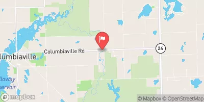 South Branch Flint River Near Columbiaville
|
153cfs |
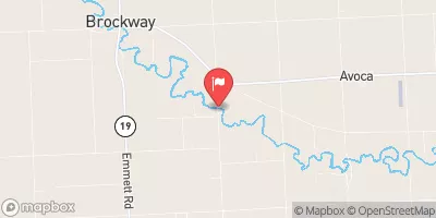 Mill Creek Near Avoca
|
29cfs |
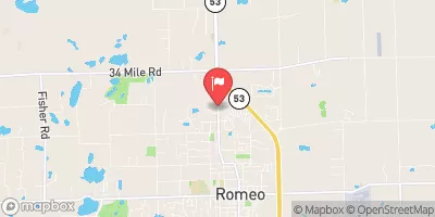 East Pond Creek At Romeo
|
9cfs |
 Stony Creek Near Romeo
|
13cfs |
 Belle River At Memphis
|
37cfs |
Dam Data Reference
Condition Assessment
SatisfactoryNo existing or potential dam safety deficiencies are recognized. Acceptable performance is expected under all loading conditions (static, hydrologic, seismic) in accordance with the minimum applicable state or federal regulatory criteria or tolerable risk guidelines.
Fair
No existing dam safety deficiencies are recognized for normal operating conditions. Rare or extreme hydrologic and/or seismic events may result in a dam safety deficiency. Risk may be in the range to take further action. Note: Rare or extreme event is defined by the regulatory agency based on their minimum
Poor A dam safety deficiency is recognized for normal operating conditions which may realistically occur. Remedial action is necessary. POOR may also be used when uncertainties exist as to critical analysis parameters which identify a potential dam safety deficiency. Investigations and studies are necessary.
Unsatisfactory
A dam safety deficiency is recognized that requires immediate or emergency remedial action for problem resolution.
Not Rated
The dam has not been inspected, is not under state or federal jurisdiction, or has been inspected but, for whatever reason, has not been rated.
Not Available
Dams for which the condition assessment is restricted to approved government users.
Hazard Potential Classification
HighDams assigned the high hazard potential classification are those where failure or mis-operation will probably cause loss of human life.
Significant
Dams assigned the significant hazard potential classification are those dams where failure or mis-operation results in no probable loss of human life but can cause economic loss, environment damage, disruption of lifeline facilities, or impact other concerns. Significant hazard potential classification dams are often located in predominantly rural or agricultural areas but could be in areas with population and significant infrastructure.
Low
Dams assigned the low hazard potential classification are those where failure or mis-operation results in no probable loss of human life and low economic and/or environmental losses. Losses are principally limited to the owner's property.
Undetermined
Dams for which a downstream hazard potential has not been designated or is not provided.
Not Available
Dams for which the downstream hazard potential is restricted to approved government users.
Area Campgrounds
| Location | Reservations | Toilets |
|---|---|---|
 Camporee Area
|
||
 Elliott Family Camp - 17 RV Sites
|
||
 Old Family Camp Site - Not Rentable
|
||
 Forester
|
||
 MIGISI
|
||
 Eastwood
|
 Mill Creek Structure