
Thunder Hole Dam Reservoir Report
Nearby: Rainbow Lake Dam Sadilek Dam
Last Updated: December 24, 2025
Located in Matherton, Clinton County, Michigan, Thunder Hole Dam, also known as Keith Wright Pond, is a privately owned structure designed by USDA NRCS with a primary purpose of recreation.
°F
°F
mph
Wind
%
Humidity
Summary
Completed in 1966, this earth dam stands at 26 feet in height and stretches 270 feet in length, holding a maximum storage capacity of 91 acre-feet. The dam, situated on a tributary to the Maple River, serves as a controlled spillway with a width of 116 feet and a low hazard potential.
Maintained by the Michigan DEGLE, Thunder Hole Dam has a satisfactory condition assessment as of May 2006, with an inspection frequency of 5 years. The dam poses a very high risk according to the Risk Assessment and is under state regulation, permitting, inspection, and enforcement. With a surface area of 8 acres and a drainage area of 0.98 square miles, the dam provides not only recreational opportunities but also important water resource management functions in the region.
Enthusiasts of water resources and climate will find Thunder Hole Dam an intriguing structure with a rich history in the heart of Michigan. Its design by USDA NRCS, state regulation, and recreational purpose make it a unique and significant part of the local landscape. As a low-hazard dam with a controlled spillway and satisfactory condition, Thunder Hole Dam continues to serve its community while also being a focal point for water management efforts in the region.
Year Completed |
1966 |
Dam Length |
270 |
Dam Height |
26 |
River Or Stream |
Tributary to Maple River |
Primary Dam Type |
Earth |
Surface Area |
8 |
Hydraulic Height |
26 |
Drainage Area |
0.98 |
Nid Storage |
91 |
Structural Height |
26 |
Hazard Potential |
Low |
Nid Height |
26 |
Seasonal Comparison
Weather Forecast
Nearby Streamflow Levels
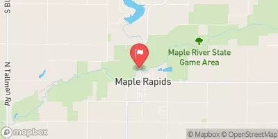 Maple River At Maple Rapids
|
166cfs |
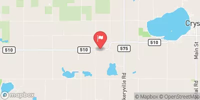 Fish Creek Near Crystal
|
8cfs |
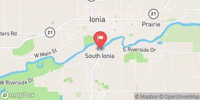 Grand River At Ionia
|
1890cfs |
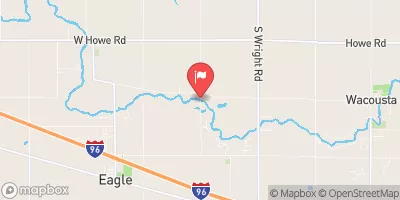 Looking Glass River Near Eagle
|
136cfs |
 Grand River At Portland
|
585cfs |
 Grand River At Lansing
|
562cfs |
Dam Data Reference
Condition Assessment
SatisfactoryNo existing or potential dam safety deficiencies are recognized. Acceptable performance is expected under all loading conditions (static, hydrologic, seismic) in accordance with the minimum applicable state or federal regulatory criteria or tolerable risk guidelines.
Fair
No existing dam safety deficiencies are recognized for normal operating conditions. Rare or extreme hydrologic and/or seismic events may result in a dam safety deficiency. Risk may be in the range to take further action. Note: Rare or extreme event is defined by the regulatory agency based on their minimum
Poor A dam safety deficiency is recognized for normal operating conditions which may realistically occur. Remedial action is necessary. POOR may also be used when uncertainties exist as to critical analysis parameters which identify a potential dam safety deficiency. Investigations and studies are necessary.
Unsatisfactory
A dam safety deficiency is recognized that requires immediate or emergency remedial action for problem resolution.
Not Rated
The dam has not been inspected, is not under state or federal jurisdiction, or has been inspected but, for whatever reason, has not been rated.
Not Available
Dams for which the condition assessment is restricted to approved government users.
Hazard Potential Classification
HighDams assigned the high hazard potential classification are those where failure or mis-operation will probably cause loss of human life.
Significant
Dams assigned the significant hazard potential classification are those dams where failure or mis-operation results in no probable loss of human life but can cause economic loss, environment damage, disruption of lifeline facilities, or impact other concerns. Significant hazard potential classification dams are often located in predominantly rural or agricultural areas but could be in areas with population and significant infrastructure.
Low
Dams assigned the low hazard potential classification are those where failure or mis-operation results in no probable loss of human life and low economic and/or environmental losses. Losses are principally limited to the owner's property.
Undetermined
Dams for which a downstream hazard potential has not been designated or is not provided.
Not Available
Dams for which the downstream hazard potential is restricted to approved government users.
 Thunder Hole Dam