
Lower Ausable Lake Dam Reservoir Report
Nearby: Elk Lake Dam Moss Pond Dam #1
Last Updated: December 24, 2025
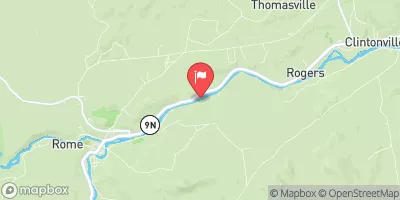
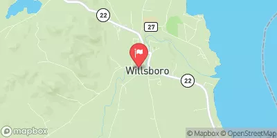
Lower Ausable Lake Dam, situated in Saint Huberts, Essex County, New York, is a masonry dam completed in 1912 with a primary purpose of recreation.
°F
°F
mph
Wind
%
Humidity
Summary
The dam stands at a height of 10 feet and has a length of 91 feet, creating a reservoir with a normal storage capacity of 563 acre-feet. It is regulated by the New York State Department of Environmental Conservation and undergoes regular inspections to ensure its structural integrity.
The dam's spillway type is controlled, with a width of 40 feet, and it has a significant hazard potential according to the data. Despite this, the condition assessment in 2019 deemed it satisfactory, with a very high risk assessment rating. The dam is associated with the East Branch Ausable River and offers opportunities for outdoor enthusiasts to enjoy the surrounding natural beauty. With its historical significance and importance for recreation, Lower Ausable Lake Dam is a vital part of the water resource infrastructure in the area.
Overall, Lower Ausable Lake Dam serves as a crucial structure for water management and recreational purposes in the region. Its presence along the East Branch Ausable River contributes to the local ecosystem and provides a scenic backdrop for outdoor activities. With ongoing inspections and risk assessments, efforts are being made to ensure the safety and functionality of the dam for both residents and visitors alike, highlighting the intersection of water resource management and climate resilience at this unique location.
Year Completed |
1912 |
Dam Length |
91 |
Dam Height |
10 |
River Or Stream |
EAST BRANCH AUSABLE RIVER |
Primary Dam Type |
Masonry |
Surface Area |
40 |
Nid Storage |
819 |
Hazard Potential |
Significant |
Nid Height |
10 |
Seasonal Comparison
Weather Forecast
Nearby Streamflow Levels
Dam Data Reference
Condition Assessment
SatisfactoryNo existing or potential dam safety deficiencies are recognized. Acceptable performance is expected under all loading conditions (static, hydrologic, seismic) in accordance with the minimum applicable state or federal regulatory criteria or tolerable risk guidelines.
Fair
No existing dam safety deficiencies are recognized for normal operating conditions. Rare or extreme hydrologic and/or seismic events may result in a dam safety deficiency. Risk may be in the range to take further action. Note: Rare or extreme event is defined by the regulatory agency based on their minimum
Poor A dam safety deficiency is recognized for normal operating conditions which may realistically occur. Remedial action is necessary. POOR may also be used when uncertainties exist as to critical analysis parameters which identify a potential dam safety deficiency. Investigations and studies are necessary.
Unsatisfactory
A dam safety deficiency is recognized that requires immediate or emergency remedial action for problem resolution.
Not Rated
The dam has not been inspected, is not under state or federal jurisdiction, or has been inspected but, for whatever reason, has not been rated.
Not Available
Dams for which the condition assessment is restricted to approved government users.
Hazard Potential Classification
HighDams assigned the high hazard potential classification are those where failure or mis-operation will probably cause loss of human life.
Significant
Dams assigned the significant hazard potential classification are those dams where failure or mis-operation results in no probable loss of human life but can cause economic loss, environment damage, disruption of lifeline facilities, or impact other concerns. Significant hazard potential classification dams are often located in predominantly rural or agricultural areas but could be in areas with population and significant infrastructure.
Low
Dams assigned the low hazard potential classification are those where failure or mis-operation results in no probable loss of human life and low economic and/or environmental losses. Losses are principally limited to the owner's property.
Undetermined
Dams for which a downstream hazard potential has not been designated or is not provided.
Not Available
Dams for which the downstream hazard potential is restricted to approved government users.
Area Campgrounds
| Location | Reservations | Toilets |
|---|---|---|
 Sno-bird
|
||
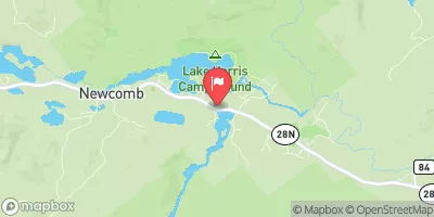
 Wilderness Campground at Heart Lake
|
||
 Sharp Bridge - DEC
|
||
 Gulf Brook Campsite #1
|
||
 Gulf Brook Campsite #2
|
||
 Lost Pond Campsite
|
 Lower Ausable Lake Dam