


Paul Kellam Pond Dam
Reservoir Levels • Weather • Hydrology
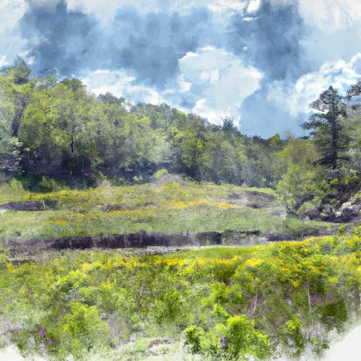
Paul Kellam Pond Dam, located in Fremont Center, Sullivan County, New York, stands as a symbol of private ownership in the realm of water resource management. This earth dam, with a height of 11 feet and a length of 720 feet, serves primarily for recreational purposes, offering a serene surface area of 10 acres for outdoor enthusiasts. The dam, situated on the TR-Hankins Creek, is regulated by the New York State Department of Environmental Conservation (NYS DEC) and is subject to regular inspections, enforcement, and permitting to ensure its structural integrity and compliance with state regulations.
With a low hazard potential and a moderate risk assessment rating, Paul Kellam Pond Dam poses no immediate threat while serving as a valuable resource for the surrounding community. The dam's storage capacity of 83 acre-feet, with a normal storage level of 50 acre-feet, provides a sustainable water supply for recreational activities, while also contributing to the ecological balance of the area. Despite its age and lack of recent condition assessment, the dam remains a steadfast structure under the jurisdiction of the state, ready to respond to any emergency situation with appropriate risk management measures in place.
As a key element in the water infrastructure of the region, Paul Kellam Pond Dam stands as a testament to the harmonious coexistence of human recreation and environmental conservation. Its uncontrolled spillway, manageable hazard potential, and state-regulated status highlight a commitment to sustainable water resource management in the face of evolving climate conditions. Enthusiasts of water resources and climate resilience can find inspiration in the balanced approach taken towards the operation and maintenance of this essential earth dam in the heart of New York's beautiful countryside.
May 26, 2024
°F
°F
mph
Windspeed
%
Humidity
| Dam_Height | 11 |
| River_Or_Stream | TR-HANKINS CREEK |
| Dam_Length | 720 |
| Primary_Dam_Type | Earth |
| Surface_Area | 10 |
| Drainage_Area | 0.14 |
| Nid_Storage | 83 |
| Hazard_Potential | Low |
| Nid_Height | 11 |
Explore the Interactive Map
View recreational hotspots like fishing, camping, and parks, alongside climate-related data such as river levels, snowpack, and weather forecasts. Enjoy 3D mapping for an immersive experience, and switch to satellite view for a detailed look at your favorite spots. Simply click, explore, and discover nature like never before!

Fishing Areas
Points of Interest
You Might Like
Explore Nearby Places
 Robert V. Riddell State Park North
Robert V. Riddell State Park North is a 1,000-acre park in Otsego County, New York. The park is located in the foothills of the Catskill Mountains and offers visitors a variety of outdoor activities, including hiking, fishing, and birdwatching. One of the main draws of the park is its extensive trail system, which includes over 12 miles of hiking trails that wind through the forested hills and along the banks of the Schenevus Creek. The park also features several ponds and a small lake, which are popular spots for fishing and swimming. In addition to its natural beauty, Robert V. ...