
Summary
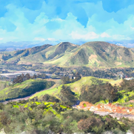
The area has a long history of agriculture, dating back to the early 20th century when it was a major producer of peaches and apricots. The region is fed by the San Joaquin River, with the area's hydrology being heavily influenced by the river's flow. The river provides irrigation water for agriculture, as well as opportunities for recreation, such as boating and fishing. The area's water supply is also dependent on snowpack in the nearby Sierra Nevada mountains. The melting snowpack provides a significant portion of the water supply for the region's agriculture. Overall, Farmington's location in the San Joaquin Valley makes it an important agricultural hub, with a strong dependence on surface water flow and snowpack.
Reservoir Details
| Storage 24hr Change | 2.3% |
| Percent of Normal | 6% |
| Minimum |
1.0 acre-ft
2004-01-11 |
| Maximum |
47,020.0 acre-ft
2023-01-16 |
| Average | 3,263 acre-ft |
| Dam_Height | 58 |
| Hydraulic_Height | 53 |
| Drainage_Area | 212 |
| Year_Completed | 1951 |
| Nid_Storage | 52000 |
| River_Or_Stream | ROCK AND LITTLEJOHN CREEKS |
| Structural_Height | 58 |
| Surface_Area | 4100 |
| Hazard_Potential | High |
| Dam_Length | 7800 |
| Primary_Dam_Type | Earth |
| Nid_Height | 58 |
Seasonal Comparison
Storage Levels
Pool Elevation Levels
Top Conserv Storage Levels
Inflow Levels
Weather Forecast
Nearby Streamflow Levels
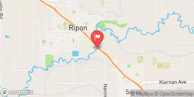 Stanislaus R A Ripon Ca
|
353cfs |
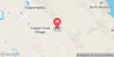 Black C Nr Copperopolis Ca
|
69cfs |
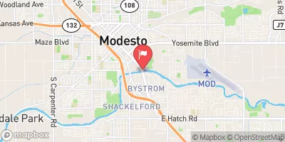 Tuolumne R A Modesto Ca
|
410cfs |
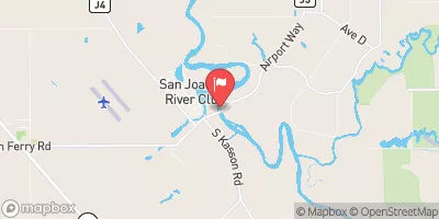 San Joaquin R Nr Vernalis Ca
|
1910cfs |
 Modesto Cn Nr La Grange Ca
|
0cfs |
 Tuolumne R Bl Lagrange Dam Nr Lagrange Ca
|
233cfs |
Dam Data Reference
Condition Assessment
SatisfactoryNo existing or potential dam safety deficiencies are recognized. Acceptable performance is expected under all loading conditions (static, hydrologic, seismic) in accordance with the minimum applicable state or federal regulatory criteria or tolerable risk guidelines.
Fair
No existing dam safety deficiencies are recognized for normal operating conditions. Rare or extreme hydrologic and/or seismic events may result in a dam safety deficiency. Risk may be in the range to take further action. Note: Rare or extreme event is defined by the regulatory agency based on their minimum
Poor A dam safety deficiency is recognized for normal operating conditions which may realistically occur. Remedial action is necessary. POOR may also be used when uncertainties exist as to critical analysis parameters which identify a potential dam safety deficiency. Investigations and studies are necessary.
Unsatisfactory
A dam safety deficiency is recognized that requires immediate or emergency remedial action for problem resolution.
Not Rated
The dam has not been inspected, is not under state or federal jurisdiction, or has been inspected but, for whatever reason, has not been rated.
Not Available
Dams for which the condition assessment is restricted to approved government users.
Hazard Potential Classification
HighDams assigned the high hazard potential classification are those where failure or mis-operation will probably cause loss of human life.
Significant
Dams assigned the significant hazard potential classification are those dams where failure or mis-operation results in no probable loss of human life but can cause economic loss, environment damage, disruption of lifeline facilities, or impact other concerns. Significant hazard potential classification dams are often located in predominantly rural or agricultural areas but could be in areas with population and significant infrastructure.
Low
Dams assigned the low hazard potential classification are those where failure or mis-operation results in no probable loss of human life and low economic and/or environmental losses. Losses are principally limited to the owner's property.
Undetermined
Dams for which a downstream hazard potential has not been designated or is not provided.
Not Available
Dams for which the downstream hazard potential is restricted to approved government users.
 Farmington Dam
 Farmington (Spill Elev 156.5 Ft)