


Sedgwick Dam Reservoir Report
Last Updated: April 15, 2026
Nearby: Lake Fountain Da Madre Pond Dam
°F
°F
mph
Wind
%
Humidity
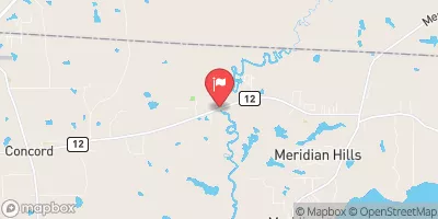
Sedgwick Dam, located in Boston, Georgia, is a privately owned structure designed by the USDA NRCS for recreational purposes, specifically for fish and wildlife pond management and recreation.
Summary
The dam, classified as an earth dam with a stone core and soil foundation, stands at a height of 12 feet and stretches over a length of 1000 feet. It has a storage capacity of 218 acre-feet, with a normal storage level of 145 acre-feet and a surface area of 18 acres, serving as a vital resource for the local community.
Managed and regulated by the NWFWMD in Florida, Sedgwick Dam has a low hazard potential and is currently rated as "Not Rated" in terms of its condition assessment. The dam's last inspection took place in May 1994, with no recent updates on its condition. Despite its age, Sedgwick Dam continues to provide essential benefits for the surrounding area, including recreational opportunities and support for fish and wildlife populations. With its location on the Alagood Lake tributary, the dam contributes to the overall water resource management in the region.
Although there are no significant modifications or upgrades noted in recent years, Sedgwick Dam remains a significant feature in the local landscape, offering a safe and reliable source of water storage for various activities. As climate change continues to impact water resources and infrastructure, the importance of maintaining and monitoring structures like Sedgwick Dam becomes increasingly crucial for sustainable water management and conservation efforts in the region.
Regional Streamflow Levels
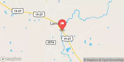 Aucilla River At Lamont
|
6cfs |
 Okapilco Creek At Ga 33
|
14cfs |
 Ochlockonee River Near Thomasville
|
20cfs |
 Withlacoochee River At Us 84
|
16cfs |
 Wacissa River Nr Wacissa Fla
|
242cfs |
 Ochlockonee River Nr Concord
|
64cfs |
15-Day Long Term Forecast
Dam Length |
1000 |
Dam Height |
12 |
River Or Stream |
ALAGOOD LAKE |
Primary Dam Type |
Earth |
Surface Area |
18 |
Drainage Area |
2.96 |
Nid Storage |
218 |
Hazard Potential |
Low |
Foundations |
Soil |
Nid Height |
12 |
Seasonal Comparison
5-Day Hourly Forecast Detail
Dam Data Reference
Condition Assessment
SatisfactoryNo existing or potential dam safety deficiencies are recognized. Acceptable performance is expected under all loading conditions (static, hydrologic, seismic) in accordance with the minimum applicable state or federal regulatory criteria or tolerable risk guidelines.
Fair
No existing dam safety deficiencies are recognized for normal operating conditions. Rare or extreme hydrologic and/or seismic events may result in a dam safety deficiency. Risk may be in the range to take further action. Note: Rare or extreme event is defined by the regulatory agency based on their minimum
Poor A dam safety deficiency is recognized for normal operating conditions which may realistically occur. Remedial action is necessary. POOR may also be used when uncertainties exist as to critical analysis parameters which identify a potential dam safety deficiency. Investigations and studies are necessary.
Unsatisfactory
A dam safety deficiency is recognized that requires immediate or emergency remedial action for problem resolution.
Not Rated
The dam has not been inspected, is not under state or federal jurisdiction, or has been inspected but, for whatever reason, has not been rated.
Not Available
Dams for which the condition assessment is restricted to approved government users.
Hazard Potential Classification
HighDams assigned the high hazard potential classification are those where failure or mis-operation will probably cause loss of human life.
Significant
Dams assigned the significant hazard potential classification are those dams where failure or mis-operation results in no probable loss of human life but can cause economic loss, environment damage, disruption of lifeline facilities, or impact other concerns. Significant hazard potential classification dams are often located in predominantly rural or agricultural areas but could be in areas with population and significant infrastructure.
Low
Dams assigned the low hazard potential classification are those where failure or mis-operation results in no probable loss of human life and low economic and/or environmental losses. Losses are principally limited to the owner's property.
Undetermined
Dams for which a downstream hazard potential has not been designated or is not provided.
Not Available
Dams for which the downstream hazard potential is restricted to approved government users.