
Osage Lake Dam Reservoir Report
Nearby: Rocky Knob Dam Fisher Pond Dam
Last Updated: January 11, 2026
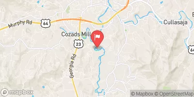
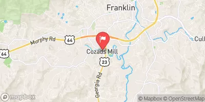
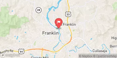
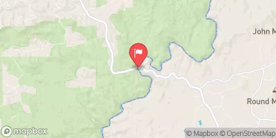
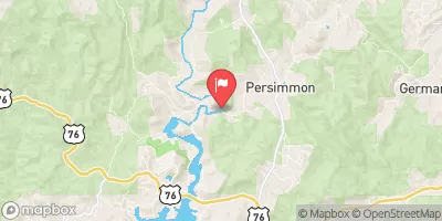
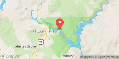
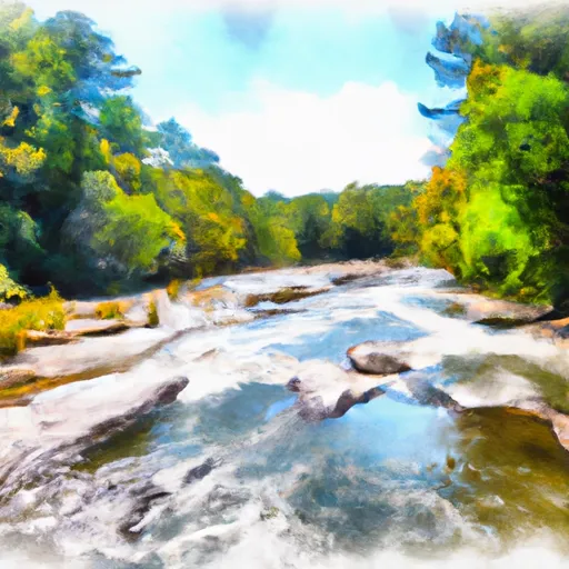
Osage Lake Dam, located in Macon, North Carolina, is a privately-owned structure that serves the primary purpose of recreation.
°F
°F
mph
Wind
%
Humidity
Summary
Completed in 1948, this earth dam stands at a hydraulic height of 29 feet, with a structural height of 33 feet and a length of 269 feet. It impounds Watkins Creek, creating a surface area of 16.5 acres and a storage capacity of 211 acre-feet. The dam is under state regulation and has undergone inspections, with its condition assessed as fair during the last inspection in February 2019.
With a hazard potential rated as high, Osage Lake Dam remains a critical infrastructure requiring regular monitoring and maintenance to ensure public safety. The dam has a drainage area of 141 square miles and a maximum discharge capacity of 25 cubic feet per second. Despite its age, the dam continues to provide recreational opportunities to the residents of Watkins Mill and surrounding areas. With its picturesque location and historical significance, Osage Lake Dam stands as a testament to the importance of water resource management and climate resilience in North Carolina.
As climate change continues to impact water resources and infrastructure, the maintenance and upkeep of dams like Osage Lake Dam become increasingly crucial. The dam's proximity to Watkins Creek and its vital role in providing recreational opportunities highlight the intersection of environmental conservation and community engagement. With its fair condition assessment and history dating back to the mid-20th century, Osage Lake Dam serves as a reminder of the ongoing efforts needed to safeguard water resources in the face of changing climate patterns.
Year Completed |
1948 |
Dam Length |
269 |
River Or Stream |
Watkins Creek |
Primary Dam Type |
Earth |
Surface Area |
16.5 |
Hydraulic Height |
29 |
Drainage Area |
141 |
Nid Storage |
211 |
Structural Height |
33 |
Hazard Potential |
High |
Nid Height |
33 |
Seasonal Comparison
Weather Forecast
Nearby Streamflow Levels
 Little Tennessee River Near Prentiss
|
1720cfs |
 Cartoogechaye Creek Near Franklin
|
261cfs |
 Little Tennessee R At Franklin
|
1050cfs |
 Chattooga River Near Clayton
|
3520cfs |
 Tallulah River Near Clayton
|
582cfs |
 Tallulah River Ab Powerhouse
|
81cfs |
Dam Data Reference
Condition Assessment
SatisfactoryNo existing or potential dam safety deficiencies are recognized. Acceptable performance is expected under all loading conditions (static, hydrologic, seismic) in accordance with the minimum applicable state or federal regulatory criteria or tolerable risk guidelines.
Fair
No existing dam safety deficiencies are recognized for normal operating conditions. Rare or extreme hydrologic and/or seismic events may result in a dam safety deficiency. Risk may be in the range to take further action. Note: Rare or extreme event is defined by the regulatory agency based on their minimum
Poor A dam safety deficiency is recognized for normal operating conditions which may realistically occur. Remedial action is necessary. POOR may also be used when uncertainties exist as to critical analysis parameters which identify a potential dam safety deficiency. Investigations and studies are necessary.
Unsatisfactory
A dam safety deficiency is recognized that requires immediate or emergency remedial action for problem resolution.
Not Rated
The dam has not been inspected, is not under state or federal jurisdiction, or has been inspected but, for whatever reason, has not been rated.
Not Available
Dams for which the condition assessment is restricted to approved government users.
Hazard Potential Classification
HighDams assigned the high hazard potential classification are those where failure or mis-operation will probably cause loss of human life.
Significant
Dams assigned the significant hazard potential classification are those dams where failure or mis-operation results in no probable loss of human life but can cause economic loss, environment damage, disruption of lifeline facilities, or impact other concerns. Significant hazard potential classification dams are often located in predominantly rural or agricultural areas but could be in areas with population and significant infrastructure.
Low
Dams assigned the low hazard potential classification are those where failure or mis-operation results in no probable loss of human life and low economic and/or environmental losses. Losses are principally limited to the owner's property.
Undetermined
Dams for which a downstream hazard potential has not been designated or is not provided.
Not Available
Dams for which the downstream hazard potential is restricted to approved government users.
Area Campgrounds
| Location | Reservations | Toilets |
|---|---|---|
 Blue Valley Camp
|
||
 Blue Valley Dispersed Camping
|
||
 Van Hook Glade Campground
|
||
 Van Hook Glade
|
||
 Sarah's Creek Campground
|
||
 Sarahs Creek
|
 Osage Lake Dam
 Ga/Nc State Line To 2 Miles Downriver
 Highway 28 to Earl's Ford (Section 2)
 Earl's Ford to Route 76 (Section 3)
 Burrels Ford to Lick Log Branch (Section 1)
 1/4 Mile Below Walhalla Fish Hatchery To Boundary Of Chattooga Wsr