
Muddy Creek Dam #20 (Wilson) Reservoir Report
Last Updated: December 6, 2025
Muddy Creek Dam #20 in Wilson, North Carolina, is a locally-owned earth dam designed by the USDA NRCS to primarily reduce flood risk along the South Fork Creek.
°F
°F
mph
Wind
%
Humidity
Summary
Located in Dysartsville, McDowell County, this dam stands at a structural height of 37 feet with a hydraulic height of 20 feet and a maximum storage capacity of 250 acre-feet. The dam covers a surface area of 15 acres and serves as a key flood risk reduction infrastructure in the region.
Managed and regulated by the NCDEQ Dam Safety Program, Muddy Creek Dam #20 has been assessed to have a significant hazard potential but is currently in satisfactory condition as of the last inspection in April 2018. Despite its uncontrolled spillway and outlet gates, the dam's risk assessment is moderate, indicating a level 3 risk. With a designated emergency action plan and regular inspection frequency, the dam continues to play a crucial role in protecting the surrounding community from potential flood events.
As a part of the flood risk reduction infrastructure in McDowell County, Muddy Creek Dam #20 serves as a vital resource for water resource and climate enthusiasts, showcasing the collaborative efforts between local government and state agencies to safeguard the region against flooding. The dam's design by the Natural Resources Conservation Service and its critical role in reducing flood risk highlight the importance of sustainable water management practices in ensuring the safety and resilience of communities in North Carolina.
Dam Length |
369 |
River Or Stream |
South Fork Creek |
Primary Dam Type |
Earth |
Surface Area |
15 |
Hydraulic Height |
20 |
Nid Storage |
250 |
Structural Height |
37 |
Outlet Gates |
Uncontrolled |
Hazard Potential |
Significant |
Foundations |
Soil |
Nid Height |
37 |
Seasonal Comparison
Weather Forecast
Nearby Streamflow Levels
 First Broad River Near Casar
|
51cfs |
 Catawba R Nr Pleasant Gardens
|
121cfs |
 Second Broad River Nr Logan
|
58cfs |
 Linville River Near Nebo
|
75cfs |
 Jacob Fork At Ramsey
|
17cfs |
 Cove Creek Near Lake Lure
|
61cfs |
Dam Data Reference
Condition Assessment
SatisfactoryNo existing or potential dam safety deficiencies are recognized. Acceptable performance is expected under all loading conditions (static, hydrologic, seismic) in accordance with the minimum applicable state or federal regulatory criteria or tolerable risk guidelines.
Fair
No existing dam safety deficiencies are recognized for normal operating conditions. Rare or extreme hydrologic and/or seismic events may result in a dam safety deficiency. Risk may be in the range to take further action. Note: Rare or extreme event is defined by the regulatory agency based on their minimum
Poor A dam safety deficiency is recognized for normal operating conditions which may realistically occur. Remedial action is necessary. POOR may also be used when uncertainties exist as to critical analysis parameters which identify a potential dam safety deficiency. Investigations and studies are necessary.
Unsatisfactory
A dam safety deficiency is recognized that requires immediate or emergency remedial action for problem resolution.
Not Rated
The dam has not been inspected, is not under state or federal jurisdiction, or has been inspected but, for whatever reason, has not been rated.
Not Available
Dams for which the condition assessment is restricted to approved government users.
Hazard Potential Classification
HighDams assigned the high hazard potential classification are those where failure or mis-operation will probably cause loss of human life.
Significant
Dams assigned the significant hazard potential classification are those dams where failure or mis-operation results in no probable loss of human life but can cause economic loss, environment damage, disruption of lifeline facilities, or impact other concerns. Significant hazard potential classification dams are often located in predominantly rural or agricultural areas but could be in areas with population and significant infrastructure.
Low
Dams assigned the low hazard potential classification are those where failure or mis-operation results in no probable loss of human life and low economic and/or environmental losses. Losses are principally limited to the owner's property.
Undetermined
Dams for which a downstream hazard potential has not been designated or is not provided.
Not Available
Dams for which the downstream hazard potential is restricted to approved government users.
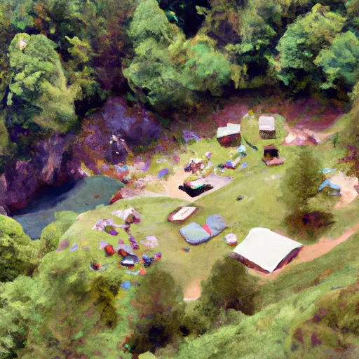 Vein Mountain Gold Camp & Carolina Emerald Mine
 Lucky Strike Campground
 Lake James State Park
 Murray Branch Campground
 Fox Trail Campground
 Shinny Falls Campground
 Muddy Creek Dam #20 (Wilson)