Payette Lake At Mccall Id Reservoir
As of July 21, 2026, Payette Lake At Mccall Id is holding 6 ft of water — 123% of normal storage for this date. Storage data refreshed throughout the day.

Payette Lake At Mccall Id
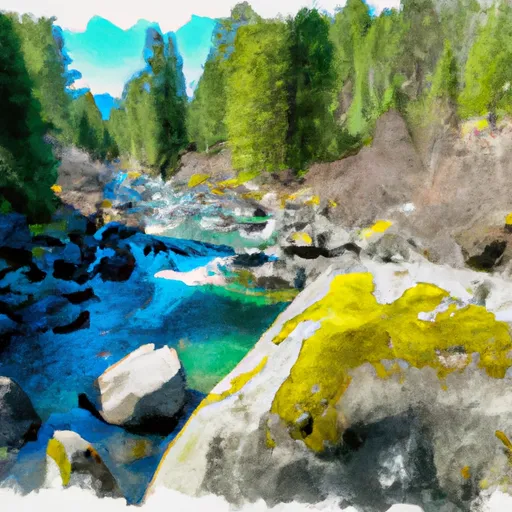
Payette Lake, located in McCall, Idaho, is a natural glacial lake that was first discovered in the early 1800s. The lake has a surface area of 5,330 acres and a maximum depth of 392 feet. The hydrology of the lake is primarily fed by snowmelt and precipitation from surrounding mountain ranges, with the Payette River being the main outlet.
Specific surface flow providers include the North Fork and the South Fork, both of which contribute to the overall water quality of the lake. The snowpack, which is the primary source of water for the lake, is monitored by the Natural Resources Conservation Service. The lake is used for a variety of recreational activities, including boating, fishing, and swimming, and is also an important source of water for agriculture in the surrounding area.
Daily levels at Payette Lake At Mccall Id
Storage volume, pool elevation, and total release plotted from the operating agency's daily observations.
Gage height, ft
ft · code 00065
Plan around the weather
Same NOAA / yr.no feed Snoflo's iOS app uses. Watch the precipitation column on the meteogram -- rain on the basin upstream typically lifts inflow 24-72 hours later.
Next 5 days, hour by hour
Temperature line with weather symbols on top, snow + rain accumulation as columns, humidity as a dotted line.
5-day forecast table
Every 3 hours, broken out across temperature, snow, rain, humidity, and wind. Each cell is colour-coded relative to the column min/max.
| Time | Condition | Temp (°F) | Snow (in) | Rain (in) | Humidity (%) | Wind (mps) | Wind dir |
|---|---|---|---|---|---|---|---|
| Loading detailed forecast… | |||||||
15-day temperature & precipitation
Daily temperatures, snow, and rain projected over the next two weeks.
Nearby streamflow gauges
USGS streamgauges around Payette Lake At Mccall Id -- inflows here typically show up in storage 24-72 hours later.
| Streamgauge | Discharge | View |
|---|---|---|
| Nf Payette River At Mccall Id | 55 cfs | → |
| Lake Fork Payette River Ab Jumbo Cr Nr Mccall Id | 43 cfs | → |
| Sf Salmon River Nr Krassel Ranger Station Id | 205 cfs | → |
| Johnson Creek At Yellow Pine Id | 133 cfs | → |
| Weiser River Nr Cambridge Id | 91 cfs | → |
| Little Salmon River At Riggins Id | 253 cfs | → |


About Payette Lake At Mccall Id
Where does the data for Payette Lake At Mccall Id come from?
Daily storage, pool elevation, and release rates are sourced from USGS, USBR, and USACE monitoring stations. Weather forecast comes from NOAA / yr.no -- the same feed Snoflo's iOS app uses.
How often is the report updated?
Storage observations are updated daily by the operating agency. The 15-day weather forecast refreshes throughout the day. Snoflo caches and renders the most recent observation -- check the "as of" timestamp on the storage card.
What does the Hazard hazard rating mean?
The Corps of Engineers' hazard potential classification grades probable consequences if the dam fails: High = probable loss of human life; Significant = no probable loss of human life but possible economic loss / environmental damage; Low = no probable loss of human life, only minor economic / environmental losses. See the Dam Data Reference card below for the full definitions.
What's "% of normal"?
The current storage value compared to the historical average storage on this calendar day. 100% = right on average; values above 100% mean above-normal storage (wet year); values below mean below-normal (dry year or drought).
Can I get alerts when storage crosses a threshold?
Yes -- alerts are managed in the Snoflo iOS app. Favorite this reservoir, set a threshold, and you'll get a push the moment conditions cross.