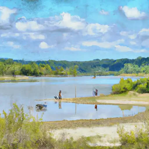
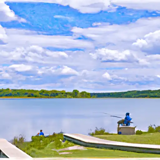
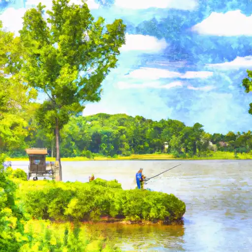
Fox Lake Near Lake Villa Reservoir
As of July 20, 2026, Fox Lake Near Lake Villa is holding 4 ft of water — 91% of normal storage for this date. Storage data refreshed throughout the day.

Fox Lake Near Lake Villa
Fox Lake is a natural lake located near Lake Villa, IL in Illinois. The lake has a rich history, dating back to the early 1800s when it was used for fishing and hunting by Native American tribes. Today, the lake is primarily used for recreational purposes, including boating and fishing. The lake is fed by several small streams and has a drainage area of approximately 27 square miles. The lake's water quality is monitored by the Fox Waterway Agency, which also manages the many canals and waterways in the area. The lake also provides important surface flow and snowpack for the surrounding agricultural community. In addition, the lake serves as an important habitat for a variety of aquatic plants and animals. Overall, Fox Lake is an important natural resource for the surrounding community and is valued for its recreational and ecological importance.
Daily levels at Fox Lake Near Lake Villa
Storage volume, pool elevation, and total release plotted from the operating agency's daily observations.
Gage height, ft
ft · code 00065
Plan around the weather
Same NOAA / yr.no feed Snoflo's iOS app uses. Watch the precipitation column on the meteogram -- rain on the basin upstream typically lifts inflow 24-72 hours later.
Next 5 days, hour by hour
Temperature line with weather symbols on top, snow + rain accumulation as columns, humidity as a dotted line.
5-day forecast table
Every 3 hours, broken out across temperature, snow, rain, humidity, and wind. Each cell is colour-coded relative to the column min/max.
| Time | Condition | Temp (°F) | Snow (in) | Rain (in) | Humidity (%) | Wind (mps) | Wind dir |
|---|---|---|---|---|---|---|---|
| Loading detailed forecast… | |||||||
15-day temperature & precipitation
Daily temperatures, snow, and rain projected over the next two weeks.
Nearby streamflow gauges
USGS streamgauges around Fox Lake Near Lake Villa -- inflows here typically show up in storage 24-72 hours later.
| Streamgauge | Discharge | View |
|---|---|---|
| Nippersink Creek Near Spring Grove | 70 cfs | → |
| Mill Creek At Old Mill Creek | 10 cfs | → |
| Boone Creek Near Mc Henry | 3 cfs | → |
| Des Plaines River Near Gurnee | 102 cfs | → |
| Des Plaines River At Russell | 3 cfs | → |
| Nippersink Creek Above Wonder Lake | 8 cfs | → |


About Fox Lake Near Lake Villa
Where does the data for Fox Lake Near Lake Villa come from?
Daily storage, pool elevation, and release rates are sourced from USGS, USBR, and USACE monitoring stations. Weather forecast comes from NOAA / yr.no -- the same feed Snoflo's iOS app uses.
How often is the report updated?
Storage observations are updated daily by the operating agency. The 15-day weather forecast refreshes throughout the day. Snoflo caches and renders the most recent observation -- check the "as of" timestamp on the storage card.
What does the Hazard hazard rating mean?
The Corps of Engineers' hazard potential classification grades probable consequences if the dam fails: High = probable loss of human life; Significant = no probable loss of human life but possible economic loss / environmental damage; Low = no probable loss of human life, only minor economic / environmental losses. See the Dam Data Reference card below for the full definitions.
What's "% of normal"?
The current storage value compared to the historical average storage on this calendar day. 100% = right on average; values above 100% mean above-normal storage (wet year); values below mean below-normal (dry year or drought).
Can I get alerts when storage crosses a threshold?
Yes -- alerts are managed in the Snoflo iOS app. Favorite this reservoir, set a threshold, and you'll get a push the moment conditions cross.