


Forkers Dam Reservoir Report
Last Updated: May 4, 2026
°F
°F
mph
Wind
%
Humidity
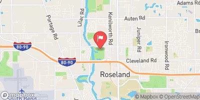
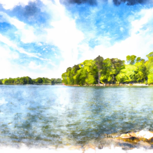
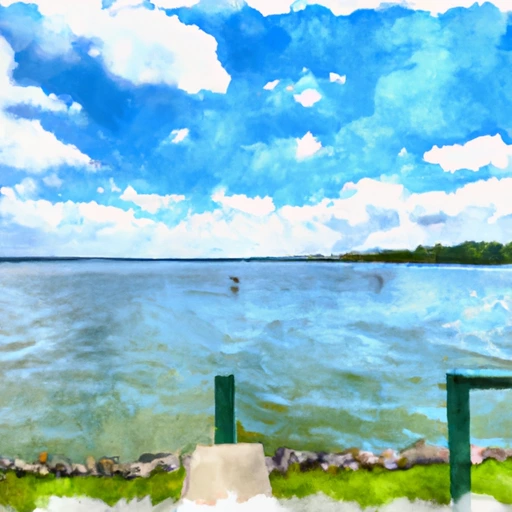
Forkers Dam, also known as Bob A Ron, is a privately-owned recreational structure located in New Buffalo, Michigan.
Summary
Built in 1966 by the USDA NRCS, this earth-type dam stands at a height of 21 feet and stretches 250 feet in length, with a storage capacity of 96 acre-feet. Situated along a tributary to the Galein River, the dam serves primarily for recreational purposes and has a low hazard potential.
Despite being in operation for over half a century, Forkers Dam has not been state-regulated or inspected, with no state enforcement or permitting required. While the dam's condition is not currently rated, it is considered to have a moderate risk level. With its uncontrolled spillway and limited drainage area of 0.1 square miles, the dam presents a unique engineering and environmental challenge for water resource and climate enthusiasts interested in the management of small-scale recreational structures in the region.
Regional Streamflow Levels
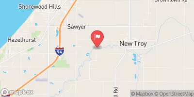 Galien River Near Sawyer
|
94cfs |
 Trail Creek At Michigan City
|
71cfs |
 Trail Creek At Michigan City Harbor
|
13cfs |
 St. Joseph River At Niles
|
6430cfs |
 Juday Creek Near South Bend
|
22cfs |
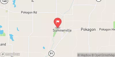 Dowagiac River At Sumnerville
|
425cfs |
15-Day Long Term Forecast
Year Completed |
1966 |
Dam Length |
250 |
Dam Height |
21 |
River Or Stream |
Tributary to Galein River |
Primary Dam Type |
Earth |
Surface Area |
4 |
Hydraulic Height |
21 |
Drainage Area |
0.1 |
Nid Storage |
96 |
Structural Height |
21 |
Hazard Potential |
Low |
Nid Height |
21 |
Seasonal Comparison
5-Day Hourly Forecast Detail
Dam Data Reference
Condition Assessment
SatisfactoryNo existing or potential dam safety deficiencies are recognized. Acceptable performance is expected under all loading conditions (static, hydrologic, seismic) in accordance with the minimum applicable state or federal regulatory criteria or tolerable risk guidelines.
Fair
No existing dam safety deficiencies are recognized for normal operating conditions. Rare or extreme hydrologic and/or seismic events may result in a dam safety deficiency. Risk may be in the range to take further action. Note: Rare or extreme event is defined by the regulatory agency based on their minimum
Poor A dam safety deficiency is recognized for normal operating conditions which may realistically occur. Remedial action is necessary. POOR may also be used when uncertainties exist as to critical analysis parameters which identify a potential dam safety deficiency. Investigations and studies are necessary.
Unsatisfactory
A dam safety deficiency is recognized that requires immediate or emergency remedial action for problem resolution.
Not Rated
The dam has not been inspected, is not under state or federal jurisdiction, or has been inspected but, for whatever reason, has not been rated.
Not Available
Dams for which the condition assessment is restricted to approved government users.
Hazard Potential Classification
HighDams assigned the high hazard potential classification are those where failure or mis-operation will probably cause loss of human life.
Significant
Dams assigned the significant hazard potential classification are those dams where failure or mis-operation results in no probable loss of human life but can cause economic loss, environment damage, disruption of lifeline facilities, or impact other concerns. Significant hazard potential classification dams are often located in predominantly rural or agricultural areas but could be in areas with population and significant infrastructure.
Low
Dams assigned the low hazard potential classification are those where failure or mis-operation results in no probable loss of human life and low economic and/or environmental losses. Losses are principally limited to the owner's property.
Undetermined
Dams for which a downstream hazard potential has not been designated or is not provided.
Not Available
Dams for which the downstream hazard potential is restricted to approved government users.
Area Campgrounds
| Location | Reservations | Toilets |
|---|---|---|
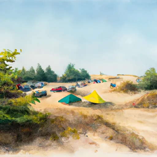 Warren Dunes State Park
|
||
 Warren Dunes-Rustic
|
||
 Weko Beach
|
||
 Camp Betz
|
||
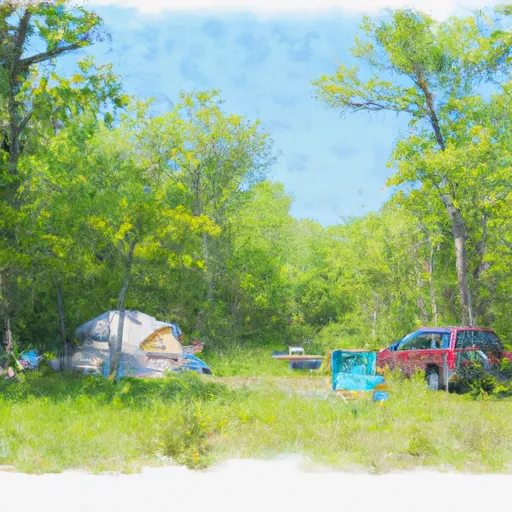 Shamrock Park
|
||
 Dunewood Campground
|
 Simonton Lake Near Elkhart
 Lake Of The Woods Near Bremen Indiana
 Lake Maxinkuckee At Culver
 South Red Arrow Highway 16979, New Buffalo Township
 Fishtrap Lake
 Pine Lake
 Trail Creek
 North Chain Lake
 South Chain Lake