


Eagle Ridge East Pond Dam Reservoir Report
Last Updated: April 23, 2026
°F
°F
mph
Wind
%
Humidity
Eagle Ridge East Pond Dam, located in Jo Daviess, Illinois, was completed in 1996 by MID-STATE ASSOCIATES.
Summary
This private dam serves primarily for recreation purposes, with a height of 25 feet and a length of 350 feet. Situated on Smallpox Creek, the dam has a normal storage capacity of 12 acre-feet and covers a surface area of 2.3 acres. Despite its low hazard potential, the dam is regulated by the Illinois Department of Natural Resources and undergoes regular state inspections.
The dam features an uncontrolled spillway with a width of 15 feet and a maximum discharge capacity of 200 cubic feet per second. With a risk assessment rating of moderate (3), the dam's condition assessment is currently not available, but it is deemed to have low hazard potential. Although no Emergency Action Plan (EAP) has been prepared or last revised, the dam meets state regulatory guidelines and does not have any associated locks. The picturesque location of Eagle Ridge East Pond Dam provides an ideal setting for recreational activities, while also serving as a crucial structure for water resource management in the area.
Water resource and climate enthusiasts will find the Eagle Ridge East Pond Dam to be a fascinating structure that combines both recreational and regulatory functions. With its earth-built design and moderate risk assessment rating, the dam stands as a testament to the importance of proper infrastructure in managing water resources. As a privately owned facility, the dam undergoes regular state inspections and is regulated by the Illinois Department of Natural Resources to ensure public safety and environmental protection along Smallpox Creek. Its idyllic location and efficient spillway system make Eagle Ridge East Pond Dam a noteworthy site for those interested in water management and climate resilience.
Regional Streamflow Levels
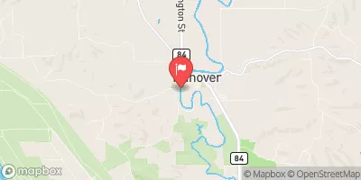 Apple River Near Hanover
|
512cfs |
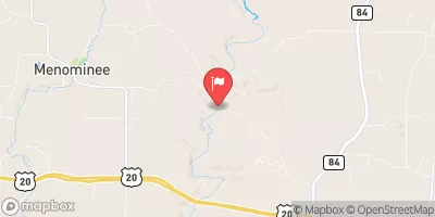 Sinsinawa River Near Menominee
|
32cfs |
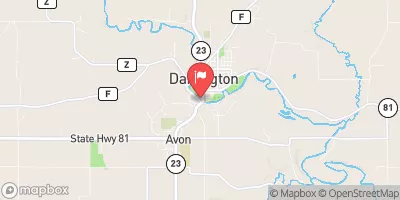 Pecatonica River At Darlington
|
535cfs |
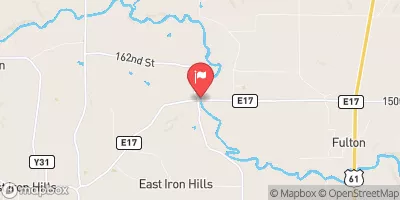 North Fork Maquoketa River Near Fulton
|
821cfs |
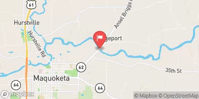 Maquoketa River Near Maquoketa
|
3240cfs |
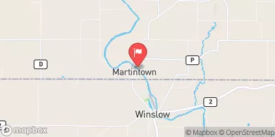 Pecatonica River At Martintown
|
2420cfs |
15-Day Long Term Forecast
Year Completed |
1996 |
Dam Length |
350 |
Dam Height |
25 |
River Or Stream |
SMALLPOX CREEK |
Primary Dam Type |
Earth |
Surface Area |
2.3 |
Drainage Area |
0.3 |
Nid Storage |
25 |
Outlet Gates |
Uncontrolled |
Hazard Potential |
Low |
Foundations |
Unlisted/Unknown |
Nid Height |
25 |
Seasonal Comparison
5-Day Hourly Forecast Detail
Dam Data Reference
Condition Assessment
SatisfactoryNo existing or potential dam safety deficiencies are recognized. Acceptable performance is expected under all loading conditions (static, hydrologic, seismic) in accordance with the minimum applicable state or federal regulatory criteria or tolerable risk guidelines.
Fair
No existing dam safety deficiencies are recognized for normal operating conditions. Rare or extreme hydrologic and/or seismic events may result in a dam safety deficiency. Risk may be in the range to take further action. Note: Rare or extreme event is defined by the regulatory agency based on their minimum
Poor A dam safety deficiency is recognized for normal operating conditions which may realistically occur. Remedial action is necessary. POOR may also be used when uncertainties exist as to critical analysis parameters which identify a potential dam safety deficiency. Investigations and studies are necessary.
Unsatisfactory
A dam safety deficiency is recognized that requires immediate or emergency remedial action for problem resolution.
Not Rated
The dam has not been inspected, is not under state or federal jurisdiction, or has been inspected but, for whatever reason, has not been rated.
Not Available
Dams for which the condition assessment is restricted to approved government users.
Hazard Potential Classification
HighDams assigned the high hazard potential classification are those where failure or mis-operation will probably cause loss of human life.
Significant
Dams assigned the significant hazard potential classification are those dams where failure or mis-operation results in no probable loss of human life but can cause economic loss, environment damage, disruption of lifeline facilities, or impact other concerns. Significant hazard potential classification dams are often located in predominantly rural or agricultural areas but could be in areas with population and significant infrastructure.
Low
Dams assigned the low hazard potential classification are those where failure or mis-operation results in no probable loss of human life and low economic and/or environmental losses. Losses are principally limited to the owner's property.
Undetermined
Dams for which a downstream hazard potential has not been designated or is not provided.
Not Available
Dams for which the downstream hazard potential is restricted to approved government users.
 Spruce Creek County Park
 Spruce Creek County Park Campground
 Camp Office
 Bellevue State Park
 Duck Creek County Park
 Bellevue State Park Campground - Dyas Unit