


Stratbucker Dam Reservoir Report
Last Updated: May 4, 2026
°F
°F
mph
Wind
%
Humidity
Stratbucker Dam, located in Washington, Nebraska, is a privately owned structure that serves the primary purpose of irrigation.
Summary
Completed in 1963, this earth dam stands at a height of 60 feet and has a maximum storage capacity of 308 acre-feet. The dam, constructed with a stone core and soil foundation, spans a length of 230 feet and covers a surface area of 22 acres. It impounds water from the TR-Missouri River, with a drainage area of 0.4 square miles.
Despite its low hazard potential, the dam's condition assessment is rated as poor as of June 2019, with a recommended inspection frequency of every five years. The dam's emergency action plan (EAP) status, risk assessment, and risk management measures are currently unspecified. The Kansas City District of the US Army Corps of Engineers does not have jurisdiction over this structure, but it is regulated by the Nebraska Department of Natural Resources. With its significant role in irrigation and water management, the Stratbucker Dam stands as a key resource in the region, highlighting the importance of effective maintenance and monitoring practices to ensure its continued safety and functionality in the face of changing climate conditions.
Regional Streamflow Levels
 Big Papillion Cr
|
46cfs |
 Missouri River At Omaha
|
31200cfs |
 Elkhorn River At Waterloo
|
1380cfs |
 Boyer River At Logan
|
510cfs |
 Platte River Nr Leshara
|
2250cfs |
 Soldier River At Pisgah
|
158cfs |
15-Day Long Term Forecast
Year Completed |
1963 |
Dam Length |
230 |
Dam Height |
60 |
River Or Stream |
TR-MISSOURI RIVER |
Primary Dam Type |
Earth |
Surface Area |
22 |
Hydraulic Height |
49 |
Drainage Area |
0.4 |
Nid Storage |
308 |
Structural Height |
60 |
Hazard Potential |
Low |
Foundations |
Soil |
Nid Height |
60 |
Seasonal Comparison
5-Day Hourly Forecast Detail
Dam Data Reference
Condition Assessment
SatisfactoryNo existing or potential dam safety deficiencies are recognized. Acceptable performance is expected under all loading conditions (static, hydrologic, seismic) in accordance with the minimum applicable state or federal regulatory criteria or tolerable risk guidelines.
Fair
No existing dam safety deficiencies are recognized for normal operating conditions. Rare or extreme hydrologic and/or seismic events may result in a dam safety deficiency. Risk may be in the range to take further action. Note: Rare or extreme event is defined by the regulatory agency based on their minimum
Poor A dam safety deficiency is recognized for normal operating conditions which may realistically occur. Remedial action is necessary. POOR may also be used when uncertainties exist as to critical analysis parameters which identify a potential dam safety deficiency. Investigations and studies are necessary.
Unsatisfactory
A dam safety deficiency is recognized that requires immediate or emergency remedial action for problem resolution.
Not Rated
The dam has not been inspected, is not under state or federal jurisdiction, or has been inspected but, for whatever reason, has not been rated.
Not Available
Dams for which the condition assessment is restricted to approved government users.
Hazard Potential Classification
HighDams assigned the high hazard potential classification are those where failure or mis-operation will probably cause loss of human life.
Significant
Dams assigned the significant hazard potential classification are those dams where failure or mis-operation results in no probable loss of human life but can cause economic loss, environment damage, disruption of lifeline facilities, or impact other concerns. Significant hazard potential classification dams are often located in predominantly rural or agricultural areas but could be in areas with population and significant infrastructure.
Low
Dams assigned the low hazard potential classification are those where failure or mis-operation results in no probable loss of human life and low economic and/or environmental losses. Losses are principally limited to the owner's property.
Undetermined
Dams for which a downstream hazard potential has not been designated or is not provided.
Not Available
Dams for which the downstream hazard potential is restricted to approved government users.
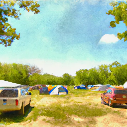
Area Campgrounds
| Location | Reservations | Toilets |
|---|---|---|
 Wilson Island State Rec Area
|
||
 N. P. Dodge Mem Park
|
||
 Glenn Cunningham Lake
|
||
 Lake Cunningham
|
||
 Hitchcock County Nature Center
|
||
 Missouri Valley City Park
|
 DeSoto Bend NWR