
Childs Hollow Dam Reservoir Report
Last Updated: January 12, 2026
Childs Hollow Dam, located in Sarpy County, Nebraska, stands at a height of 32 feet and was completed in 1997.
°F
°F
mph
Wind
%
Humidity
Summary
This private dam, owned and regulated by the state, serves primarily for flood risk reduction. With a capacity of 33 acre-feet, it plays a crucial role in managing water resources in the area, particularly along the TR-Missouri River.
Despite its essential function, Childs Hollow Dam is currently rated as being in poor condition, with a significant hazard potential. The last inspection in October 2018 revealed the dam's poor state, prompting concerns about its ability to withstand potential risks. The dam's condition assessment, coupled with its inadequate emergency action plan, raises important questions about its long-term management and the need for potential risk mitigation measures to ensure the safety and reliability of the structure for both water resource and climate enthusiasts in the region.
Year Completed |
1997 |
Dam Length |
207 |
Dam Height |
32 |
River Or Stream |
TR-MISSOURI RIVER |
Primary Dam Type |
Earth |
Hydraulic Height |
32 |
Drainage Area |
0.5 |
Nid Storage |
33 |
Structural Height |
35 |
Hazard Potential |
Significant |
Foundations |
Soil |
Nid Height |
35 |
Seasonal Comparison
Weather Forecast
Nearby Streamflow Levels
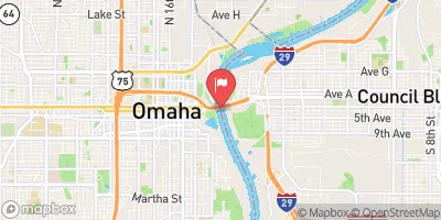 Missouri River At Omaha
|
16400cfs |
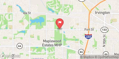 Big Papillion Cr
|
38cfs |
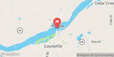 Platte R At Louisville Ne
|
5980cfs |
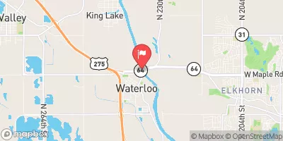 Elkhorn River At Waterloo
|
1390cfs |
 Platte R Nr Ashland
|
6720cfs |
 Wahoo Cr At Ashland
|
78cfs |
Dam Data Reference
Condition Assessment
SatisfactoryNo existing or potential dam safety deficiencies are recognized. Acceptable performance is expected under all loading conditions (static, hydrologic, seismic) in accordance with the minimum applicable state or federal regulatory criteria or tolerable risk guidelines.
Fair
No existing dam safety deficiencies are recognized for normal operating conditions. Rare or extreme hydrologic and/or seismic events may result in a dam safety deficiency. Risk may be in the range to take further action. Note: Rare or extreme event is defined by the regulatory agency based on their minimum
Poor A dam safety deficiency is recognized for normal operating conditions which may realistically occur. Remedial action is necessary. POOR may also be used when uncertainties exist as to critical analysis parameters which identify a potential dam safety deficiency. Investigations and studies are necessary.
Unsatisfactory
A dam safety deficiency is recognized that requires immediate or emergency remedial action for problem resolution.
Not Rated
The dam has not been inspected, is not under state or federal jurisdiction, or has been inspected but, for whatever reason, has not been rated.
Not Available
Dams for which the condition assessment is restricted to approved government users.
Hazard Potential Classification
HighDams assigned the high hazard potential classification are those where failure or mis-operation will probably cause loss of human life.
Significant
Dams assigned the significant hazard potential classification are those dams where failure or mis-operation results in no probable loss of human life but can cause economic loss, environment damage, disruption of lifeline facilities, or impact other concerns. Significant hazard potential classification dams are often located in predominantly rural or agricultural areas but could be in areas with population and significant infrastructure.
Low
Dams assigned the low hazard potential classification are those where failure or mis-operation results in no probable loss of human life and low economic and/or environmental losses. Losses are principally limited to the owner's property.
Undetermined
Dams for which a downstream hazard potential has not been designated or is not provided.
Not Available
Dams for which the downstream hazard potential is restricted to approved government users.
Area Campgrounds
| Location | Reservations | Toilets |
|---|---|---|
 Camp Brewster
|
||
 Camp Logan Fontenelle
|
||
 Camp Wakonda
|
||
 Lake Manawa State Park
|
||
 Haworth City Park - Bellevue
|
||
 FAMCamp
|
 Childs Hollow Dam
 Catfish Rd Council Bluffs