
Woodhull Lake Dam Reservoir Report
Nearby: Sand Lake Dam Second Bisby Lake Dam
Last Updated: December 14, 2025
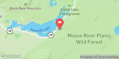
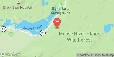
Woodhull Lake Dam, located in Woodhull, New York, was completed in 1853 and serves primarily for navigation purposes on the TR-SAND LAKE river or stream.
°F
°F
mph
Wind
%
Humidity
Summary
This earth dam stands at a height of 25 feet and stretches for 507 feet, with a maximum storage capacity of 11,600 acre-feet and a normal storage of 8,800 acre-feet. The dam's controlled spillway is 40 feet wide, allowing for a maximum discharge of 120 cubic feet per second, while its hazard potential is rated as low, with a very high risk assessment score of 1.
Managed by the New York State Department of Environmental Conservation, Woodhull Lake Dam is subject to state regulation, permitting, inspection, and enforcement. The dam has not been rated for condition assessment, and the last inspection was conducted in 1971. Despite its age, the dam's risk management measures and emergency action plan status remain undisclosed. The dam's association with any federal agencies or funding sources is not specified, suggesting a primarily state-managed structure.
For water resource and climate enthusiasts, Woodhull Lake Dam presents an intriguing case study in historic dam construction and management. With its long-standing presence in the Herkimer County landscape, the dam's role in navigation and recreation offers a glimpse into the intersection of human infrastructure and natural water systems. The dam's low hazard potential and high risk assessment underscore the importance of ongoing monitoring and maintenance to ensure the safety and sustainability of this vital water resource.
Year Completed |
1853 |
Dam Length |
507 |
Dam Height |
25 |
River Or Stream |
TR-SAND LAKE |
Primary Dam Type |
Earth |
Surface Area |
1158 |
Nid Storage |
11600 |
Hazard Potential |
Low |
Nid Height |
25 |
Seasonal Comparison
Weather Forecast
Nearby Streamflow Levels
 West Canada Creek Near Wilmurt Ny
|
257cfs |
 Black River Near Boonville Ny
|
322cfs |
 Buck Creek Near Inlet Ny
|
0cfs |
 Buck Creek
|
1cfs |
 Independence River At Donnattsburg Ny
|
214cfs |
 Beaver River At Croghan Ny
|
764cfs |
Dam Data Reference
Condition Assessment
SatisfactoryNo existing or potential dam safety deficiencies are recognized. Acceptable performance is expected under all loading conditions (static, hydrologic, seismic) in accordance with the minimum applicable state or federal regulatory criteria or tolerable risk guidelines.
Fair
No existing dam safety deficiencies are recognized for normal operating conditions. Rare or extreme hydrologic and/or seismic events may result in a dam safety deficiency. Risk may be in the range to take further action. Note: Rare or extreme event is defined by the regulatory agency based on their minimum
Poor A dam safety deficiency is recognized for normal operating conditions which may realistically occur. Remedial action is necessary. POOR may also be used when uncertainties exist as to critical analysis parameters which identify a potential dam safety deficiency. Investigations and studies are necessary.
Unsatisfactory
A dam safety deficiency is recognized that requires immediate or emergency remedial action for problem resolution.
Not Rated
The dam has not been inspected, is not under state or federal jurisdiction, or has been inspected but, for whatever reason, has not been rated.
Not Available
Dams for which the condition assessment is restricted to approved government users.
Hazard Potential Classification
HighDams assigned the high hazard potential classification are those where failure or mis-operation will probably cause loss of human life.
Significant
Dams assigned the significant hazard potential classification are those dams where failure or mis-operation results in no probable loss of human life but can cause economic loss, environment damage, disruption of lifeline facilities, or impact other concerns. Significant hazard potential classification dams are often located in predominantly rural or agricultural areas but could be in areas with population and significant infrastructure.
Low
Dams assigned the low hazard potential classification are those where failure or mis-operation results in no probable loss of human life and low economic and/or environmental losses. Losses are principally limited to the owner's property.
Undetermined
Dams for which a downstream hazard potential has not been designated or is not provided.
Not Available
Dams for which the downstream hazard potential is restricted to approved government users.
 Woodhull Lake Dam
 First Lake At Old Forge Ny