
South Lake Dam Reservoir Report
Nearby: North Lake C Dam North Lake B Dam
Last Updated: December 14, 2025
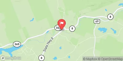
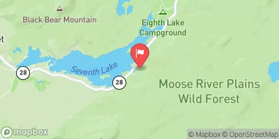
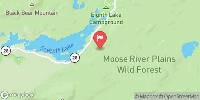
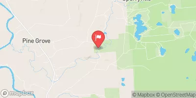
South Lake Dam, located in North Wilmurt, Herkimer, New York, is a state-regulated structure completed in 1901 for recreational purposes along the South Branch Black River.
°F
°F
mph
Wind
%
Humidity
Summary
This earth dam stands at a height of 30 feet and spans 380 feet, with a maximum storage capacity of 5480 acre-feet and a surface area of 499 acres. The dam features a controlled spillway with a width of 40 feet and a low hazard potential.
Despite being labeled as "Not Rated" in terms of condition assessment, South Lake Dam is regularly inspected, permitted, and enforced by the New York State Department of Environmental Conservation. The dam's risk assessment is classified as "Very High (1)", indicating the importance of effective risk management measures in place. The dam's emergency action plan status and inundation maps preparedness are currently not disclosed, highlighting areas that may need further attention for enhanced safety and resilience. For water resource and climate enthusiasts, South Lake Dam serves as a crucial structure for recreational activities while also emphasizing the need for ongoing monitoring and mitigation strategies to ensure public safety and environmental protection.
Year Completed |
1901 |
Dam Length |
380 |
Dam Height |
30 |
River Or Stream |
SOUTH BRANCH BLACK RIVER |
Primary Dam Type |
Earth |
Surface Area |
499 |
Nid Storage |
5480 |
Hazard Potential |
Low |
Nid Height |
30 |
Seasonal Comparison
Weather Forecast
Nearby Streamflow Levels
 West Canada Creek Near Wilmurt Ny
|
257cfs |
 Buck Creek Near Inlet Ny
|
0cfs |
 Buck Creek
|
1cfs |
 Black River Near Boonville Ny
|
322cfs |
 Independence River At Donnattsburg Ny
|
214cfs |
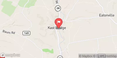 West Canada Creek At Kast Bridge Ny
|
1610cfs |
Dam Data Reference
Condition Assessment
SatisfactoryNo existing or potential dam safety deficiencies are recognized. Acceptable performance is expected under all loading conditions (static, hydrologic, seismic) in accordance with the minimum applicable state or federal regulatory criteria or tolerable risk guidelines.
Fair
No existing dam safety deficiencies are recognized for normal operating conditions. Rare or extreme hydrologic and/or seismic events may result in a dam safety deficiency. Risk may be in the range to take further action. Note: Rare or extreme event is defined by the regulatory agency based on their minimum
Poor A dam safety deficiency is recognized for normal operating conditions which may realistically occur. Remedial action is necessary. POOR may also be used when uncertainties exist as to critical analysis parameters which identify a potential dam safety deficiency. Investigations and studies are necessary.
Unsatisfactory
A dam safety deficiency is recognized that requires immediate or emergency remedial action for problem resolution.
Not Rated
The dam has not been inspected, is not under state or federal jurisdiction, or has been inspected but, for whatever reason, has not been rated.
Not Available
Dams for which the condition assessment is restricted to approved government users.
Hazard Potential Classification
HighDams assigned the high hazard potential classification are those where failure or mis-operation will probably cause loss of human life.
Significant
Dams assigned the significant hazard potential classification are those dams where failure or mis-operation results in no probable loss of human life but can cause economic loss, environment damage, disruption of lifeline facilities, or impact other concerns. Significant hazard potential classification dams are often located in predominantly rural or agricultural areas but could be in areas with population and significant infrastructure.
Low
Dams assigned the low hazard potential classification are those where failure or mis-operation results in no probable loss of human life and low economic and/or environmental losses. Losses are principally limited to the owner's property.
Undetermined
Dams for which a downstream hazard potential has not been designated or is not provided.
Not Available
Dams for which the downstream hazard potential is restricted to approved government users.
 South Lake Dam