
Mononame 64 Reservoir Report
Last Updated: January 7, 2026
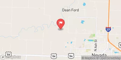
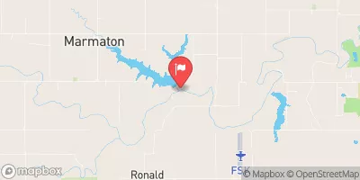
Mononame 64 is a privately owned earth dam located in Metz, Missouri along the TR Cottonwood Creek.
°F
°F
mph
Wind
%
Humidity
Summary
Completed in 1969, this recreational structure stands at a height of 19 feet and has a storage capacity of 102 acre-feet, with a normal storage level of 44 acre-feet. With a surface area of 10 acres and a drainage area of 93 square miles, Mononame 64 serves as a low hazard potential dam, rated as "Not Rated" in terms of its condition assessment.
Despite being privately owned, Mononame 64 does not fall under state regulation, permitting, inspection, or enforcement. The dam is primarily utilized for recreational purposes and is not associated with any federal agencies for funding, construction, or oversight. While its emergency action plan status and risk management measures remain undisclosed, its risk assessment and inundation maps are also pending. Situated in Vernon County, Missouri, Mononame 64 provides a serene backdrop for water resource and climate enthusiasts to appreciate the beauty and importance of our natural landscapes.
Year Completed |
1969 |
Dam Height |
19 |
River Or Stream |
TR COTTONWOOD CREEK |
Primary Dam Type |
Earth |
Surface Area |
10 |
Drainage Area |
93 |
Nid Storage |
102 |
Structural Height |
19 |
Hazard Potential |
Low |
Foundations |
Unlisted/Unknown |
Nid Height |
19 |
Seasonal Comparison
Weather Forecast
Nearby Streamflow Levels
 Little Osage R. At Horton
|
5cfs |
 Marmaton River Near Nevada
|
10cfs |
 L Osage R At Fulton
|
1cfs |
 Marmaton R Nr Fort Scott
|
4cfs |
 Marais Des Cygnes R Nr Ks-Mo St Line
|
163cfs |
 Marmaton R Nr Marmaton
|
194cfs |
Dam Data Reference
Condition Assessment
SatisfactoryNo existing or potential dam safety deficiencies are recognized. Acceptable performance is expected under all loading conditions (static, hydrologic, seismic) in accordance with the minimum applicable state or federal regulatory criteria or tolerable risk guidelines.
Fair
No existing dam safety deficiencies are recognized for normal operating conditions. Rare or extreme hydrologic and/or seismic events may result in a dam safety deficiency. Risk may be in the range to take further action. Note: Rare or extreme event is defined by the regulatory agency based on their minimum
Poor A dam safety deficiency is recognized for normal operating conditions which may realistically occur. Remedial action is necessary. POOR may also be used when uncertainties exist as to critical analysis parameters which identify a potential dam safety deficiency. Investigations and studies are necessary.
Unsatisfactory
A dam safety deficiency is recognized that requires immediate or emergency remedial action for problem resolution.
Not Rated
The dam has not been inspected, is not under state or federal jurisdiction, or has been inspected but, for whatever reason, has not been rated.
Not Available
Dams for which the condition assessment is restricted to approved government users.
Hazard Potential Classification
HighDams assigned the high hazard potential classification are those where failure or mis-operation will probably cause loss of human life.
Significant
Dams assigned the significant hazard potential classification are those dams where failure or mis-operation results in no probable loss of human life but can cause economic loss, environment damage, disruption of lifeline facilities, or impact other concerns. Significant hazard potential classification dams are often located in predominantly rural or agricultural areas but could be in areas with population and significant infrastructure.
Low
Dams assigned the low hazard potential classification are those where failure or mis-operation results in no probable loss of human life and low economic and/or environmental losses. Losses are principally limited to the owner's property.
Undetermined
Dams for which a downstream hazard potential has not been designated or is not provided.
Not Available
Dams for which the downstream hazard potential is restricted to approved government users.
 Mononame 64
 Vernon County