Curtis Myers Dam #2 Reservoir Report
Nearby: Gray Lake Dam Forest Lake Dam
Last Updated: January 6, 2026
Curtis Myers Dam #2, located in Parkville, Missouri, was completed in 2000 by the USDA NRCS with a primary purpose of grade stabilization along TR-Brush Creek.
°F
°F
mph
Wind
%
Humidity
Summary
This earth dam stands at a height of 25 feet and has a length of 375 feet, with a storage capacity of 26 acre-feet. The dam has a low hazard potential and is not currently rated for its condition.
The dam's spillway is uncontrolled with a width of 40 feet, and it serves to manage a drainage area of 134.4 square miles. Despite being a private-owned structure, it is not regulated by the state of Missouri. The risk assessment for Curtis Myers Dam #2 indicates a moderate level of risk (3), with no specific risk management measures outlined. The dam has not been inspected since its completion in 2000, and its emergency action plan status is not provided.
For water resource and climate enthusiasts, Curtis Myers Dam #2 represents a significant infrastructure for grade stabilization in the Platte County area. With its strategic location along TR-Brush Creek and its moderate risk assessment, the dam plays a crucial role in managing water flow and mitigating potential hazards in the region. As a private-owned structure designed by the USDA NRCS, the dam stands as a testament to collaborative efforts in enhancing water resource management while balancing environmental considerations.
Year Completed |
2000 |
Dam Length |
375 |
Dam Height |
25 |
River Or Stream |
TR-BRUSH CREEK |
Primary Dam Type |
Earth |
Surface Area |
4 |
Hydraulic Height |
25 |
Drainage Area |
134.4 |
Nid Storage |
26 |
Structural Height |
25 |
Outlet Gates |
None |
Hazard Potential |
Low |
Foundations |
Rock, Soil |
Nid Height |
25 |
Seasonal Comparison
Weather Forecast
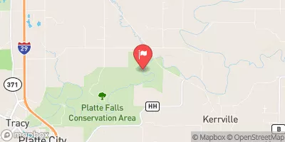
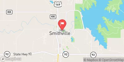
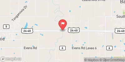
Nearby Streamflow Levels
Dam Data Reference
Condition Assessment
SatisfactoryNo existing or potential dam safety deficiencies are recognized. Acceptable performance is expected under all loading conditions (static, hydrologic, seismic) in accordance with the minimum applicable state or federal regulatory criteria or tolerable risk guidelines.
Fair
No existing dam safety deficiencies are recognized for normal operating conditions. Rare or extreme hydrologic and/or seismic events may result in a dam safety deficiency. Risk may be in the range to take further action. Note: Rare or extreme event is defined by the regulatory agency based on their minimum
Poor A dam safety deficiency is recognized for normal operating conditions which may realistically occur. Remedial action is necessary. POOR may also be used when uncertainties exist as to critical analysis parameters which identify a potential dam safety deficiency. Investigations and studies are necessary.
Unsatisfactory
A dam safety deficiency is recognized that requires immediate or emergency remedial action for problem resolution.
Not Rated
The dam has not been inspected, is not under state or federal jurisdiction, or has been inspected but, for whatever reason, has not been rated.
Not Available
Dams for which the condition assessment is restricted to approved government users.
Hazard Potential Classification
HighDams assigned the high hazard potential classification are those where failure or mis-operation will probably cause loss of human life.
Significant
Dams assigned the significant hazard potential classification are those dams where failure or mis-operation results in no probable loss of human life but can cause economic loss, environment damage, disruption of lifeline facilities, or impact other concerns. Significant hazard potential classification dams are often located in predominantly rural or agricultural areas but could be in areas with population and significant infrastructure.
Low
Dams assigned the low hazard potential classification are those where failure or mis-operation results in no probable loss of human life and low economic and/or environmental losses. Losses are principally limited to the owner's property.
Undetermined
Dams for which a downstream hazard potential has not been designated or is not provided.
Not Available
Dams for which the downstream hazard potential is restricted to approved government users.


 Curtis Myers Dam #2