
Plum Creek 2-D Reservoir Report
Nearby: Plum Creek 2-1 Plum Creek 2-2
Last Updated: January 11, 2026
Plum Creek 2-D is a key flood risk reduction structure located in Gage County, Nebraska.
°F
°F
mph
Wind
%
Humidity
Summary
Owned by the local government, this earth dam was designed by the USDA NRCS and completed in 1968. With a height of 32 feet and a length of 1100 feet, Plum Creek 2-D plays a critical role in managing water flow along the TR-Plum Creek river.
Managed by the NE DNR, Plum Creek 2-D is regulated, inspected, and enforced by state authorities to ensure its structural integrity and functionality. With a low hazard potential and fair condition assessment, this dam provides a storage capacity of 392 acre-feet and serves a drainage area of 1.3 square miles. Despite its age, Plum Creek 2-D continues to effectively mitigate flood risks in the region, highlighting the importance of sustainable water resource management in Nebraska.
As climate change intensifies, structures like Plum Creek 2-D become even more crucial in protecting communities and ecosystems from the impacts of extreme weather events. With a focus on flood risk reduction, this earth dam stands as a testament to the collaborative efforts between local governments, federal agencies, and conservation services to safeguard water resources and enhance resilience in the face of a changing climate.
Year Completed |
1968 |
Dam Length |
1100 |
Dam Height |
32 |
River Or Stream |
TR-PLUM CREEK |
Primary Dam Type |
Earth |
Surface Area |
7 |
Hydraulic Height |
32 |
Drainage Area |
1.3 |
Nid Storage |
392 |
Structural Height |
34 |
Hazard Potential |
Low |
Foundations |
Soil |
Nid Height |
34 |
Seasonal Comparison
Weather Forecast
Nearby Streamflow Levels
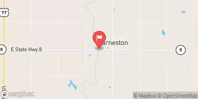 Big Blue R At Barneston Nebr
|
246cfs |
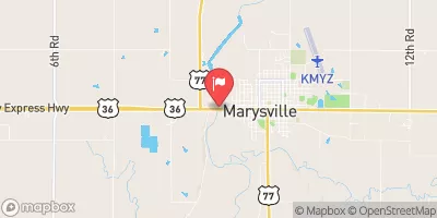 Big Blue R At Marysville
|
278cfs |
 Turkey C Nr Seneca
|
31cfs |
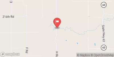
 Little Blue R At Hollenberg
|
110cfs |
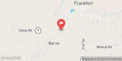 Black Vermillion R Nr Frankfort
|
72cfs |
 L Blue R Nr Barnes
|
281cfs |
Dam Data Reference
Condition Assessment
SatisfactoryNo existing or potential dam safety deficiencies are recognized. Acceptable performance is expected under all loading conditions (static, hydrologic, seismic) in accordance with the minimum applicable state or federal regulatory criteria or tolerable risk guidelines.
Fair
No existing dam safety deficiencies are recognized for normal operating conditions. Rare or extreme hydrologic and/or seismic events may result in a dam safety deficiency. Risk may be in the range to take further action. Note: Rare or extreme event is defined by the regulatory agency based on their minimum
Poor A dam safety deficiency is recognized for normal operating conditions which may realistically occur. Remedial action is necessary. POOR may also be used when uncertainties exist as to critical analysis parameters which identify a potential dam safety deficiency. Investigations and studies are necessary.
Unsatisfactory
A dam safety deficiency is recognized that requires immediate or emergency remedial action for problem resolution.
Not Rated
The dam has not been inspected, is not under state or federal jurisdiction, or has been inspected but, for whatever reason, has not been rated.
Not Available
Dams for which the condition assessment is restricted to approved government users.
Hazard Potential Classification
HighDams assigned the high hazard potential classification are those where failure or mis-operation will probably cause loss of human life.
Significant
Dams assigned the significant hazard potential classification are those dams where failure or mis-operation results in no probable loss of human life but can cause economic loss, environment damage, disruption of lifeline facilities, or impact other concerns. Significant hazard potential classification dams are often located in predominantly rural or agricultural areas but could be in areas with population and significant infrastructure.
Low
Dams assigned the low hazard potential classification are those where failure or mis-operation results in no probable loss of human life and low economic and/or environmental losses. Losses are principally limited to the owner's property.
Undetermined
Dams for which a downstream hazard potential has not been designated or is not provided.
Not Available
Dams for which the downstream hazard potential is restricted to approved government users.
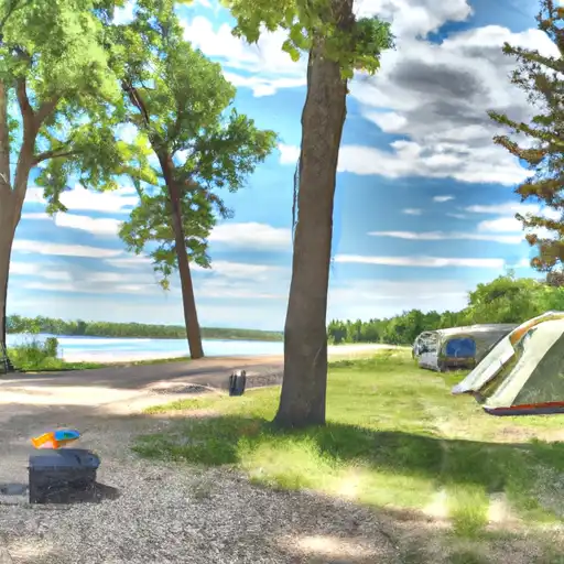
Area Campgrounds
| Location | Reservations | Toilets |
|---|---|---|
 Feits Memorial Park
|
||
 Big Indian NRD Rec Area
|
||
 Rockford Lake State Rec Area
|
 Plum Creek 2-D