
Mission Creek 7-F Reservoir Report
Nearby: Mission Creek 7-E Mission Creek 7-C
Last Updated: January 2, 2026
Mission Creek 7-F is a vital flood risk reduction structure located in Pawnee, Nebraska, along the Mission Creek stream.
°F
°F
mph
Wind
%
Humidity
Summary
Built in 1974 by the USDA NRCS, this earth dam stands at a height of 32 feet and spans a length of 1370 feet, with a storage capacity of 713 acre-feet. The dam plays a crucial role in protecting the surrounding area from potential flooding events, with a low hazard potential and a satisfactory condition assessment as of the last inspection in 2017.
Managed by the local government and regulated by the NE DNR, Mission Creek 7-F is equipped with state-permitting, inspection, and enforcement measures to ensure its ongoing safety and functionality. With a drainage area of 1.6 square miles and a maximum discharge capacity of 1010 cubic feet per second, the dam serves as a key component of the flood control infrastructure in the region. Its strategic location and design make it a significant asset in safeguarding the community against potential water-related risks and climate impacts.
Year Completed |
1974 |
Dam Length |
1370 |
Dam Height |
32 |
River Or Stream |
TR-MISSION CREEK |
Primary Dam Type |
Earth |
Surface Area |
25 |
Hydraulic Height |
31 |
Drainage Area |
1.6 |
Nid Storage |
713 |
Structural Height |
32 |
Hazard Potential |
Low |
Foundations |
Soil |
Nid Height |
32 |
Seasonal Comparison
Weather Forecast
Nearby Streamflow Levels
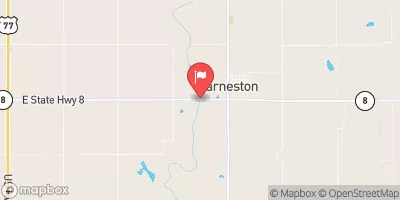 Big Blue R At Barneston Nebr
|
131cfs |
 Turkey C Nr Seneca
|
4cfs |
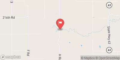
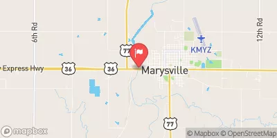 Big Blue R At Marysville
|
119cfs |
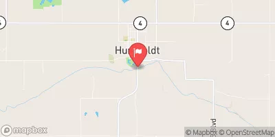 North Fork Big Nemaha River At Humboldt
|
67cfs |
 Black Vermillion R Nr Frankfort
|
34cfs |
 L Blue R Nr Barnes
|
65cfs |
Dam Data Reference
Condition Assessment
SatisfactoryNo existing or potential dam safety deficiencies are recognized. Acceptable performance is expected under all loading conditions (static, hydrologic, seismic) in accordance with the minimum applicable state or federal regulatory criteria or tolerable risk guidelines.
Fair
No existing dam safety deficiencies are recognized for normal operating conditions. Rare or extreme hydrologic and/or seismic events may result in a dam safety deficiency. Risk may be in the range to take further action. Note: Rare or extreme event is defined by the regulatory agency based on their minimum
Poor A dam safety deficiency is recognized for normal operating conditions which may realistically occur. Remedial action is necessary. POOR may also be used when uncertainties exist as to critical analysis parameters which identify a potential dam safety deficiency. Investigations and studies are necessary.
Unsatisfactory
A dam safety deficiency is recognized that requires immediate or emergency remedial action for problem resolution.
Not Rated
The dam has not been inspected, is not under state or federal jurisdiction, or has been inspected but, for whatever reason, has not been rated.
Not Available
Dams for which the condition assessment is restricted to approved government users.
Hazard Potential Classification
HighDams assigned the high hazard potential classification are those where failure or mis-operation will probably cause loss of human life.
Significant
Dams assigned the significant hazard potential classification are those dams where failure or mis-operation results in no probable loss of human life but can cause economic loss, environment damage, disruption of lifeline facilities, or impact other concerns. Significant hazard potential classification dams are often located in predominantly rural or agricultural areas but could be in areas with population and significant infrastructure.
Low
Dams assigned the low hazard potential classification are those where failure or mis-operation results in no probable loss of human life and low economic and/or environmental losses. Losses are principally limited to the owner's property.
Undetermined
Dams for which a downstream hazard potential has not been designated or is not provided.
Not Available
Dams for which the downstream hazard potential is restricted to approved government users.
 Mission Creek 7-F