
A.B. Brown Power Plant Reservoir Report
Nearby: Servel Lake Dam Dogwood Lake Dam
Last Updated: March 12, 2026
The A.B.
Summary
Brown Power Plant in Posey, Indiana, stands as a vital piece of infrastructure in the region, with a dam completed in 1975 along an unnamed tributary of the Ohio River. Managed by a public utility, the plant is state-regulated and undergoes regular inspections to ensure compliance with environmental and safety standards. The dam, primarily designed for purposes beyond hydroelectric power generation, stands at a height of 68 feet and has a storage capacity of 3,400 acre-feet.
With a spillway type classified as "Uncontrolled" and a hazard potential rated as "High," the A.B. Brown Power Plant presents both challenges and opportunities in water resource management and climate resilience. The dam's fair condition assessment and moderate risk assessment underscore the need for ongoing monitoring and risk management measures. In the event of emergencies, the plant's emergency action plan and contact information must be up to date to ensure swift response and mitigation of any potential threats to the surrounding community and environment.
As climate change continues to impact water resources and infrastructure, the A.B. Brown Power Plant serves as a critical site for comprehensive risk assessment and management. With its strategic location and significant storage capacity, the plant plays a key role in water supply and flood control efforts in the region. Continued investment in monitoring and maintenance will be essential to ensure the long-term sustainability and safety of this important facility in the face of evolving environmental challenges.
°F
°F
mph
Wind
%
Humidity
15-Day Weather Outlook
Year Completed |
1975 |
Dam Length |
1540 |
Dam Height |
68 |
River Or Stream |
UNNAMED TRIBUTARY OHIO RIVER |
Primary Dam Type |
Earth |
Surface Area |
112 |
Hydraulic Height |
64 |
Drainage Area |
0.37 |
Nid Storage |
3400 |
Structural Height |
68 |
Outlet Gates |
Valve |
Hazard Potential |
High |
Nid Height |
68 |
Seasonal Comparison
5-Day Hourly Forecast Detail
Nearby Streamflow Levels
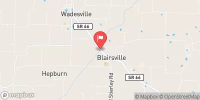 Big Creek Near Wadesville
|
236cfs |
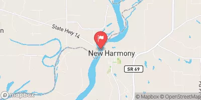 Wabash River At New Harmony
|
85100cfs |
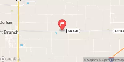 Pigeon Creek Near Fort Branch
|
77cfs |
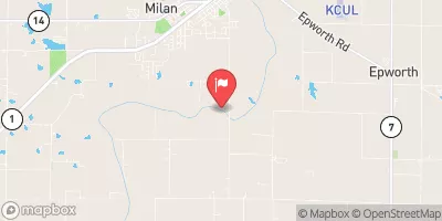 Little Wabash River At Carmi
|
10700cfs |
 Ohio River At Old Shawneetown
|
259000cfs |
 Wabash River At Mt. Carmel
|
90500cfs |
Dam Data Reference
Condition Assessment
SatisfactoryNo existing or potential dam safety deficiencies are recognized. Acceptable performance is expected under all loading conditions (static, hydrologic, seismic) in accordance with the minimum applicable state or federal regulatory criteria or tolerable risk guidelines.
Fair
No existing dam safety deficiencies are recognized for normal operating conditions. Rare or extreme hydrologic and/or seismic events may result in a dam safety deficiency. Risk may be in the range to take further action. Note: Rare or extreme event is defined by the regulatory agency based on their minimum
Poor A dam safety deficiency is recognized for normal operating conditions which may realistically occur. Remedial action is necessary. POOR may also be used when uncertainties exist as to critical analysis parameters which identify a potential dam safety deficiency. Investigations and studies are necessary.
Unsatisfactory
A dam safety deficiency is recognized that requires immediate or emergency remedial action for problem resolution.
Not Rated
The dam has not been inspected, is not under state or federal jurisdiction, or has been inspected but, for whatever reason, has not been rated.
Not Available
Dams for which the condition assessment is restricted to approved government users.
Hazard Potential Classification
HighDams assigned the high hazard potential classification are those where failure or mis-operation will probably cause loss of human life.
Significant
Dams assigned the significant hazard potential classification are those dams where failure or mis-operation results in no probable loss of human life but can cause economic loss, environment damage, disruption of lifeline facilities, or impact other concerns. Significant hazard potential classification dams are often located in predominantly rural or agricultural areas but could be in areas with population and significant infrastructure.
Low
Dams assigned the low hazard potential classification are those where failure or mis-operation results in no probable loss of human life and low economic and/or environmental losses. Losses are principally limited to the owner's property.
Undetermined
Dams for which a downstream hazard potential has not been designated or is not provided.
Not Available
Dams for which the downstream hazard potential is restricted to approved government users.
 A.B. Brown Power Plant