
Summary
Completed in 1983, this dam stands at a height of 22.5 feet and has a storage capacity of 513 acre-feet. With a low hazard potential and a moderate risk assessment rating, Frd No 5 plays a crucial role in managing flood risk in Rush County.
Managed by the Kansas Department of Agriculture, Frd No 5 is state-regulated and undergoes regular inspections, permitting, and enforcement to ensure its structural integrity and functionality. With a spillway width of 40 feet and a surface area of 12 acres, this dam serves as a vital infrastructure for flood control in the region. Although its condition is currently not rated, Frd No 5 remains a key component in the water resource management strategy of Rush County.
Supported by the Natural Resources Conservation Service and the Kansas City District, Frd No 5 exemplifies the collaborative efforts between federal and local agencies in safeguarding communities against flood risks. With its strategic location and design, this dam continues to be a critical asset in mitigating the impact of extreme weather events and preserving the ecological balance of the region.
Year Completed |
1983 |
Dam Length |
1764 |
Dam Height |
22.5 |
Primary Dam Type |
Earth |
Surface Area |
12 |
Drainage Area |
1.71 |
Nid Storage |
513 |
Outlet Gates |
None |
Hazard Potential |
Low |
Foundations |
Unlisted/Unknown |
Nid Height |
23 |
Seasonal Comparison
Weather Forecast
Nearby Streamflow Levels
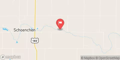 Smoky Hill R Bl Schoenchen
|
2cfs |
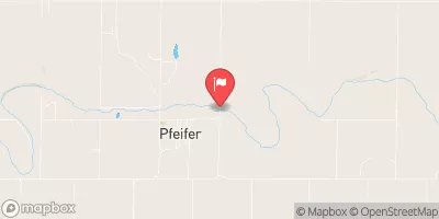 Smoky Hill R At Pfeifer
|
1cfs |
 Smoky Hill R Nr Schoenchen
|
2cfs |
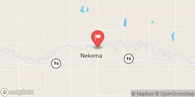 Walnut C At Nekoma
|
4cfs |
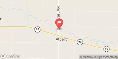 Walnut C At Albert
|
0cfs |
 Big C Nr Hays
|
5cfs |
Dam Data Reference
Condition Assessment
SatisfactoryNo existing or potential dam safety deficiencies are recognized. Acceptable performance is expected under all loading conditions (static, hydrologic, seismic) in accordance with the minimum applicable state or federal regulatory criteria or tolerable risk guidelines.
Fair
No existing dam safety deficiencies are recognized for normal operating conditions. Rare or extreme hydrologic and/or seismic events may result in a dam safety deficiency. Risk may be in the range to take further action. Note: Rare or extreme event is defined by the regulatory agency based on their minimum
Poor A dam safety deficiency is recognized for normal operating conditions which may realistically occur. Remedial action is necessary. POOR may also be used when uncertainties exist as to critical analysis parameters which identify a potential dam safety deficiency. Investigations and studies are necessary.
Unsatisfactory
A dam safety deficiency is recognized that requires immediate or emergency remedial action for problem resolution.
Not Rated
The dam has not been inspected, is not under state or federal jurisdiction, or has been inspected but, for whatever reason, has not been rated.
Not Available
Dams for which the condition assessment is restricted to approved government users.
Hazard Potential Classification
HighDams assigned the high hazard potential classification are those where failure or mis-operation will probably cause loss of human life.
Significant
Dams assigned the significant hazard potential classification are those dams where failure or mis-operation results in no probable loss of human life but can cause economic loss, environment damage, disruption of lifeline facilities, or impact other concerns. Significant hazard potential classification dams are often located in predominantly rural or agricultural areas but could be in areas with population and significant infrastructure.
Low
Dams assigned the low hazard potential classification are those where failure or mis-operation results in no probable loss of human life and low economic and/or environmental losses. Losses are principally limited to the owner's property.
Undetermined
Dams for which a downstream hazard potential has not been designated or is not provided.
Not Available
Dams for which the downstream hazard potential is restricted to approved government users.
 Frd No 5