Black Lake Bayou Near Clarence Reservoir Report
Nearby: Chivery Dam Saline Lake Dam
Last Updated: February 25, 2026
Black Lake Bayou is a small stream that flows through Clarence, Louisiana.
Summary
The stream has a long history, as it was once an important transportation route for Native American tribes and later for European settlers. Today, the bayou is primarily used for agricultural purposes, including irrigation and livestock watering. It also serves as a recreational area for fishing and boating. The hydrology of the bayou is influenced by the surrounding landscape, which includes forests, wetlands, and agricultural fields. Specific surface flow providers include rainfall and runoff from nearby streams, while snowpack is not a significant contributor. Despite its importance to the local community, Black Lake Bayou has experienced issues with water quality and sedimentation, which have had negative impacts on aquatic life and recreational activities.
°F
°F
mph
Wind
%
Humidity
15-Day Weather Outlook
Reservoir Details
| Stream Water Level Elevation Above Navd 1988, In Ft 24hr Change | 0.0% |
| Percent of Normal | 99% |
| Minimum |
94.66 ft
2021-09-24 |
| Maximum |
106.41 ft
2020-02-23 |
| Average | 100 ft |
Seasonal Comparison
Gage Height, Ft Levels
Stream Water Level Elevation Above Navd 1988, In Ft Levels
5-Day Hourly Forecast Detail
Nearby Streamflow Levels
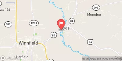 Dugdemona River Near Joyce
|
221cfs |
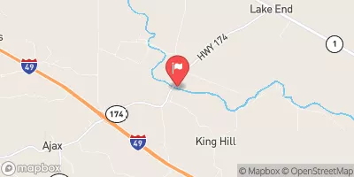 Bayou Pierre Near Lake End
|
243cfs |
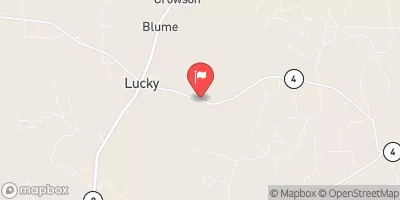 Saline Bayou Near Lucky
|
26cfs |
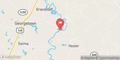 Little River Near Rochelle
|
619cfs |
 Big Creek At Pollock
|
28cfs |
 Bayou San Patricio Near Benson
|
1cfs |
Dam Data Reference
Condition Assessment
SatisfactoryNo existing or potential dam safety deficiencies are recognized. Acceptable performance is expected under all loading conditions (static, hydrologic, seismic) in accordance with the minimum applicable state or federal regulatory criteria or tolerable risk guidelines.
Fair
No existing dam safety deficiencies are recognized for normal operating conditions. Rare or extreme hydrologic and/or seismic events may result in a dam safety deficiency. Risk may be in the range to take further action. Note: Rare or extreme event is defined by the regulatory agency based on their minimum
Poor A dam safety deficiency is recognized for normal operating conditions which may realistically occur. Remedial action is necessary. POOR may also be used when uncertainties exist as to critical analysis parameters which identify a potential dam safety deficiency. Investigations and studies are necessary.
Unsatisfactory
A dam safety deficiency is recognized that requires immediate or emergency remedial action for problem resolution.
Not Rated
The dam has not been inspected, is not under state or federal jurisdiction, or has been inspected but, for whatever reason, has not been rated.
Not Available
Dams for which the condition assessment is restricted to approved government users.
Hazard Potential Classification
HighDams assigned the high hazard potential classification are those where failure or mis-operation will probably cause loss of human life.
Significant
Dams assigned the significant hazard potential classification are those dams where failure or mis-operation results in no probable loss of human life but can cause economic loss, environment damage, disruption of lifeline facilities, or impact other concerns. Significant hazard potential classification dams are often located in predominantly rural or agricultural areas but could be in areas with population and significant infrastructure.
Low
Dams assigned the low hazard potential classification are those where failure or mis-operation results in no probable loss of human life and low economic and/or environmental losses. Losses are principally limited to the owner's property.
Undetermined
Dams for which a downstream hazard potential has not been designated or is not provided.
Not Available
Dams for which the downstream hazard potential is restricted to approved government users.

 Black Lake Bayou Reservoir
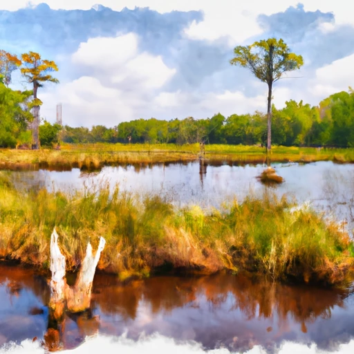 Black Lake Bayou Near Clarence