


Beaver Lake Reservoir Report
Last Updated: April 15, 2026
°F
°F
mph
Wind
%
Humidity
Beaver Lake in Missouri is a Federal-owned reservoir managed by the USDA Forest Service, primarily for recreation and fish and wildlife purposes.
Summary
Completed in 1971, this Earth-type dam stands at a height of 23 feet and spans 570 feet in length, with a storage capacity of 96 acre-feet. The reservoir covers an area of 11 acres and is fed by the Ten Mile Lake tributary, providing a serene escape for outdoor enthusiasts in the Poplar Bluff area.
Despite its low hazard potential, Beaver Lake has a moderate risk assessment rating of 3 due to its uncontrolled spillway type and limited drainage area. The dam has not been rated for its condition assessment, with the last inspection conducted in December 2018. While no Emergency Action Plan (EAP) has been prepared for the reservoir, it remains a popular destination for locals and visitors seeking recreational opportunities in a natural setting. With its tranquil waters and scenic surroundings, Beaver Lake offers a unique space for water resource and climate enthusiasts to explore and appreciate the beauty of Missouri's outdoor landscapes.
Regional Streamflow Levels
 Little Black River Below Fairdealing
|
42cfs |
 Black River At Poplar Bluff
|
817cfs |
 Current River At Doniphan
|
1770cfs |
 Black River At Leeper
|
551cfs |
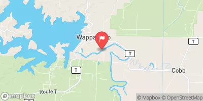 St. Francis River At Wappapello
|
999cfs |
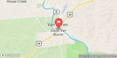 Current River At Van Buren
|
1160cfs |
15-Day Long Term Forecast
Year Completed |
1971 |
Dam Length |
570 |
Dam Height |
23 |
River Or Stream |
TR-TEN MILE LAKE |
Primary Dam Type |
Earth |
Surface Area |
11 |
Drainage Area |
1 |
Nid Storage |
96 |
Hazard Potential |
Low |
Nid Height |
23 |
Seasonal Comparison
5-Day Hourly Forecast Detail
Dam Data Reference
Condition Assessment
SatisfactoryNo existing or potential dam safety deficiencies are recognized. Acceptable performance is expected under all loading conditions (static, hydrologic, seismic) in accordance with the minimum applicable state or federal regulatory criteria or tolerable risk guidelines.
Fair
No existing dam safety deficiencies are recognized for normal operating conditions. Rare or extreme hydrologic and/or seismic events may result in a dam safety deficiency. Risk may be in the range to take further action. Note: Rare or extreme event is defined by the regulatory agency based on their minimum
Poor A dam safety deficiency is recognized for normal operating conditions which may realistically occur. Remedial action is necessary. POOR may also be used when uncertainties exist as to critical analysis parameters which identify a potential dam safety deficiency. Investigations and studies are necessary.
Unsatisfactory
A dam safety deficiency is recognized that requires immediate or emergency remedial action for problem resolution.
Not Rated
The dam has not been inspected, is not under state or federal jurisdiction, or has been inspected but, for whatever reason, has not been rated.
Not Available
Dams for which the condition assessment is restricted to approved government users.
Hazard Potential Classification
HighDams assigned the high hazard potential classification are those where failure or mis-operation will probably cause loss of human life.
Significant
Dams assigned the significant hazard potential classification are those dams where failure or mis-operation results in no probable loss of human life but can cause economic loss, environment damage, disruption of lifeline facilities, or impact other concerns. Significant hazard potential classification dams are often located in predominantly rural or agricultural areas but could be in areas with population and significant infrastructure.
Low
Dams assigned the low hazard potential classification are those where failure or mis-operation results in no probable loss of human life and low economic and/or environmental losses. Losses are principally limited to the owner's property.
Undetermined
Dams for which a downstream hazard potential has not been designated or is not provided.
Not Available
Dams for which the downstream hazard potential is restricted to approved government users.