Savage River Reservoir Near Bloomington Reservoir
As of July 20, 2026, Savage River Reservoir Near Bloomington is holding 1,455 ft of water — 100% of normal storage for this date. Storage data refreshed throughout the day.

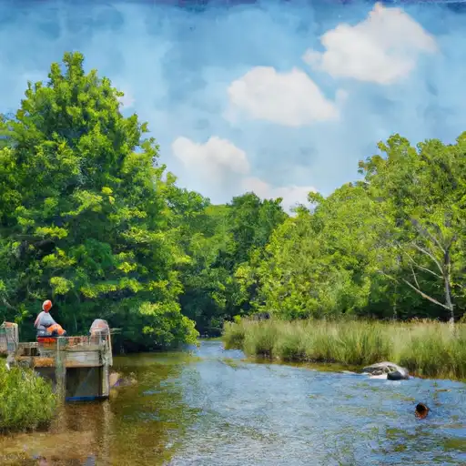
Savage River Reservoir Near Bloomington
Savage River Reservoir, located near Bloomington, MD in Maryland, was constructed in the 1950s by the state government to provide drinking water to the surrounding areas. The reservoir is fed by the Savage River and several smaller tributaries, and it also receives water from snowmelt in the winter months. The reservoir covers more than 300 acres and has a maximum depth of 75 feet. The reservoir is used for agriculture and recreational purposes, with fishing, boating, and camping being popular activities. The area surrounding the reservoir is also home to several hiking trails and scenic overlooks. The Savage River Dam controls the flow of water into the reservoir and is managed by the Maryland Department of Natural Resources.
Daily levels at Savage River Reservoir Near Bloomington
Storage volume, pool elevation, and total release plotted from the operating agency's daily observations.
Elevation of reservoir water surface above datum, ft
ft · code 00062
Lake or reservoir water surface elevation above NAVD 1988, ft
ft · code 62615
Plan around the weather
Same NOAA / yr.no feed Snoflo's iOS app uses. Watch the precipitation column on the meteogram -- rain on the basin upstream typically lifts inflow 24-72 hours later.
Next 5 days, hour by hour
Temperature line with weather symbols on top, snow + rain accumulation as columns, humidity as a dotted line.
5-day forecast table
Every 3 hours, broken out across temperature, snow, rain, humidity, and wind. Each cell is colour-coded relative to the column min/max.
| Time | Condition | Temp (°F) | Snow (in) | Rain (in) | Humidity (%) | Wind (mps) | Wind dir |
|---|---|---|---|---|---|---|---|
| Loading detailed forecast… | |||||||
15-day temperature & precipitation
Daily temperatures, snow, and rain projected over the next two weeks.
Nearby streamflow gauges
USGS streamgauges around Savage River Reservoir Near Bloomington -- inflows here typically show up in storage 24-72 hours later.
| Streamgauge | Discharge | View |
|---|---|---|
| Savage Riv Bl Savage Riv Dam Near Bloomington | 61 cfs | → |
| Crabtree Creek Near Swanton | 154 cfs | → |
| North Branch Potomac River At Luke | 336 cfs | → |
| North Branch Potomac River At Barnum | 256 cfs | → |
| Savage River Near Barton | 11 cfs | → |
| Georges Creek At Franklin | 17 cfs | → |
Make a day of it
Boat launches, lakeside camping, fishing access, and other reservoirs near Savage River Reservoir Near Bloomington.
Boat launches
See all →


Campgrounds
See all →


Fishing spots
See all →


River runs
See all →


About Savage River Reservoir Near Bloomington
Where does the data for Savage River Reservoir Near Bloomington come from?
Daily storage, pool elevation, and release rates are sourced from USGS, USBR, and USACE monitoring stations. Weather forecast comes from NOAA / yr.no -- the same feed Snoflo's iOS app uses.
How often is the report updated?
Storage observations are updated daily by the operating agency. The 15-day weather forecast refreshes throughout the day. Snoflo caches and renders the most recent observation -- check the "as of" timestamp on the storage card.
What does the Hazard hazard rating mean?
The Corps of Engineers' hazard potential classification grades probable consequences if the dam fails: High = probable loss of human life; Significant = no probable loss of human life but possible economic loss / environmental damage; Low = no probable loss of human life, only minor economic / environmental losses. See the Dam Data Reference card below for the full definitions.
What's "% of normal"?
The current storage value compared to the historical average storage on this calendar day. 100% = right on average; values above 100% mean above-normal storage (wet year); values below mean below-normal (dry year or drought).
Can I get alerts when storage crosses a threshold?
Yes -- alerts are managed in the Snoflo iOS app. Favorite this reservoir, set a threshold, and you'll get a push the moment conditions cross.