


Lake Lavere Dam Reservoir Report
Last Updated: April 25, 2026
Nearby: Lake Sue Dam Lake La Su An Dam
°F
°F
mph
Wind
%
Humidity
Lake Lavere Dam in Ohio is a state-regulated earth dam with a primary purpose of recreation.
Summary
Located in Williams County, the dam stands at a height of 12.6 feet and has a storage capacity of 73.2 acre-feet. The dam, designed by Edward A. Brodbeck, is situated on a tributary to the West Branch of the St. Joseph River, making it a vital water resource for the region.
With a significant hazard potential and a fair condition assessment as of June 2018, Lake Lavere Dam is subject to regular inspections by the Department of Natural Resources. The dam's emergency action plan and risk management measures are yet to be fully detailed, highlighting the importance of ongoing monitoring and maintenance. The dam's location in Montpelier, along with its recreational purpose, underscores its significance as a key water infrastructure for both residents and visitors in the area.
As an integral part of the Buffalo District, Lake Lavere Dam serves as a critical component of the local water management system. Its role in providing recreational opportunities while also safeguarding against potential hazards underscores the importance of proactive maintenance and risk mitigation strategies. With its unique design and location, Lake Lavere Dam stands as a testament to the intersection of water resource management and climate resilience in Ohio.
Regional Streamflow Levels
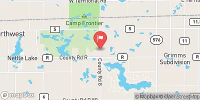 West Branch St. Joseph River Nr Nettle Lake
|
182cfs |
 Fish Creek At Hamilton
|
43cfs |
 South Branch Hog Creek Near Allen
|
110cfs |
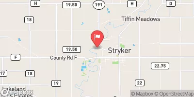 Tiffin River At Stryker Oh
|
1580cfs |
 Pigeon Creek Nr Angola
|
303cfs |
 St. Joseph River Near Newville
|
1290cfs |
15-Day Long Term Forecast
Dam Length |
450 |
Dam Height |
12.6 |
River Or Stream |
TRIBUTARY TO WEST BRANCH ST. JOSEPH RIVER |
Primary Dam Type |
Earth |
Surface Area |
11.1 |
Drainage Area |
0.1 |
Nid Storage |
73.2 |
Hazard Potential |
Significant |
Nid Height |
13 |
Seasonal Comparison
5-Day Hourly Forecast Detail
Dam Data Reference
Condition Assessment
SatisfactoryNo existing or potential dam safety deficiencies are recognized. Acceptable performance is expected under all loading conditions (static, hydrologic, seismic) in accordance with the minimum applicable state or federal regulatory criteria or tolerable risk guidelines.
Fair
No existing dam safety deficiencies are recognized for normal operating conditions. Rare or extreme hydrologic and/or seismic events may result in a dam safety deficiency. Risk may be in the range to take further action. Note: Rare or extreme event is defined by the regulatory agency based on their minimum
Poor A dam safety deficiency is recognized for normal operating conditions which may realistically occur. Remedial action is necessary. POOR may also be used when uncertainties exist as to critical analysis parameters which identify a potential dam safety deficiency. Investigations and studies are necessary.
Unsatisfactory
A dam safety deficiency is recognized that requires immediate or emergency remedial action for problem resolution.
Not Rated
The dam has not been inspected, is not under state or federal jurisdiction, or has been inspected but, for whatever reason, has not been rated.
Not Available
Dams for which the condition assessment is restricted to approved government users.
Hazard Potential Classification
HighDams assigned the high hazard potential classification are those where failure or mis-operation will probably cause loss of human life.
Significant
Dams assigned the significant hazard potential classification are those dams where failure or mis-operation results in no probable loss of human life but can cause economic loss, environment damage, disruption of lifeline facilities, or impact other concerns. Significant hazard potential classification dams are often located in predominantly rural or agricultural areas but could be in areas with population and significant infrastructure.
Low
Dams assigned the low hazard potential classification are those where failure or mis-operation results in no probable loss of human life and low economic and/or environmental losses. Losses are principally limited to the owner's property.
Undetermined
Dams for which a downstream hazard potential has not been designated or is not provided.
Not Available
Dams for which the downstream hazard potential is restricted to approved government users.
 Clark
Clark
 Houston
 Navarre
 Crockett
 Coulter
 Butler