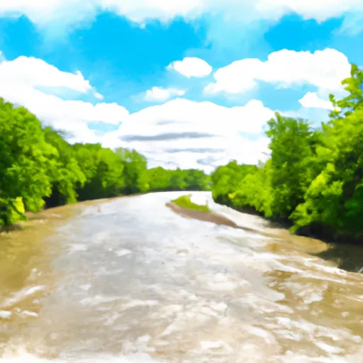
Schweitzer Reservoir Near Palmer Reservoir
As of July 23, 2026, Schweitzer Reservoir Near Palmer is holding 38 ft of water — 100% of normal storage for this date. Storage data refreshed throughout the day.

Schweitzer Reservoir Near Palmer
Schweitzer Reservoir is a popular destination near Palmer, MI in Michigan, known for its fishing, boating, and recreational activities. The reservoir was created in the early 20th century as a water supply for the city of Negaunee. It is fed by both surface flow and snowmelt, with the Michigamme River being the main surface flow provider. The reservoir has a maximum depth of 60 feet and contains a variety of fish species, including trout, walleye, and pike. The surrounding area is largely forested, with some small farms and agricultural uses. Recreational activities include fishing, boating, swimming, and hiking, with a small campground available for overnight stays. The reservoir is also used for hydroelectric power generation.
Daily levels at Schweitzer Reservoir Near Palmer
Storage volume, pool elevation, and total release plotted from the operating agency's daily observations.
Gage height, ft
ft · code 00065
Plan around the weather
Same NOAA / yr.no feed Snoflo's iOS app uses. Watch the precipitation column on the meteogram -- rain on the basin upstream typically lifts inflow 24-72 hours later.
Next 5 days, hour by hour
Temperature line with weather symbols on top, snow + rain accumulation as columns, humidity as a dotted line.
5-day forecast table
Every 3 hours, broken out across temperature, snow, rain, humidity, and wind. Each cell is colour-coded relative to the column min/max.
| Time | Condition | Temp (°F) | Snow (in) | Rain (in) | Humidity (%) | Wind (mps) | Wind dir |
|---|---|---|---|---|---|---|---|
| Loading detailed forecast… | |||||||
15-day temperature & precipitation
Daily temperatures, snow, and rain projected over the next two weeks.
Nearby streamflow gauges
USGS streamgauges around Schweitzer Reservoir Near Palmer -- inflows here typically show up in storage 24-72 hours later.
| Streamgauge | Discharge | View |
|---|---|---|
| Schweitzer Creek Near Palmer | 6 cfs | → |
| Greenwood Diversion Near Greenwood | 21 cfs | → |
| Greenwood Release Near Greenwood | 25 cfs | → |
| Middle Branch Escanaba River Nr Princeton | 139 cfs | → |
| Middle Branch Escanaba River At Humboldt | 53 cfs | → |
| Michigamme River Near Crystal Falls | 668 cfs | → |
Make a day of it
Boat launches, lakeside camping, fishing access, and other reservoirs near Schweitzer Reservoir Near Palmer.
Boat launches
See all →


Campgrounds
See all →


Fishing spots
See all →


River runs
See all →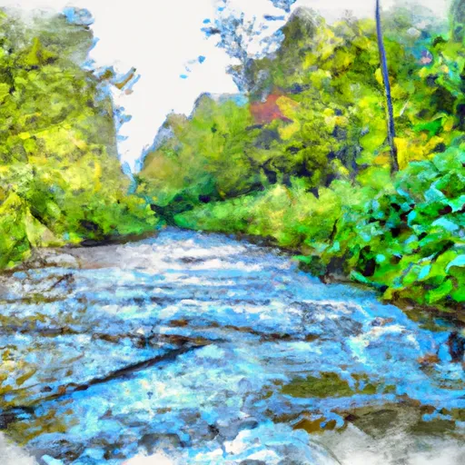

About Schweitzer Reservoir Near Palmer
Where does the data for Schweitzer Reservoir Near Palmer come from?
Daily storage, pool elevation, and release rates are sourced from USGS, USBR, and USACE monitoring stations. Weather forecast comes from NOAA / yr.no -- the same feed Snoflo's iOS app uses.
How often is the report updated?
Storage observations are updated daily by the operating agency. The 15-day weather forecast refreshes throughout the day. Snoflo caches and renders the most recent observation -- check the "as of" timestamp on the storage card.
What does the Hazard hazard rating mean?
The Corps of Engineers' hazard potential classification grades probable consequences if the dam fails: High = probable loss of human life; Significant = no probable loss of human life but possible economic loss / environmental damage; Low = no probable loss of human life, only minor economic / environmental losses. See the Dam Data Reference card below for the full definitions.
What's "% of normal"?
The current storage value compared to the historical average storage on this calendar day. 100% = right on average; values above 100% mean above-normal storage (wet year); values below mean below-normal (dry year or drought).
Can I get alerts when storage crosses a threshold?
Yes -- alerts are managed in the Snoflo iOS app. Favorite this reservoir, set a threshold, and you'll get a push the moment conditions cross.