


Summary
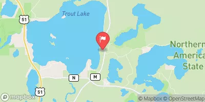
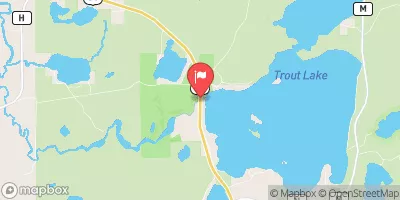
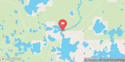
With a height of 13.8 feet and a storage capacity of 14,468 acre-feet, Fishtrap primarily serves as a recreational area, offering activities like fishing and boating. The dam has a spillway width of 47 feet and a maximum discharge of 1,412 cubic feet per second, making it a significant structure in managing water resources in the area.
Despite its age, Fishtrap has undergone modifications in 1935 and 2019 to ensure its continued functionality. The dam is under the jurisdiction of the Wisconsin Department of Natural Resources (WIDNR) and is subject to regular inspections, with a hazard potential rating of "High" and a condition assessment of "Fair". The risk assessment for Fishtrap is moderate, indicating a need for ongoing monitoring and management to mitigate potential hazards and ensure the safety and integrity of the dam for both recreational and water resource purposes. With its historical significance and role in water management, Fishtrap is a key feature in the landscape of Boulder Junction and a focal point for water resource and climate enthusiasts in the area.
Regional Streamflow Levels
15-Day Long Term Forecast
Years Modified |
1935 - Other, 2019 - Other |
Year Completed |
1884 |
Dam Length |
205 |
Dam Height |
13.8 |
River Or Stream |
MANITOWISH |
Primary Dam Type |
Rockfill |
Surface Area |
339 |
Hydraulic Height |
8.8 |
Drainage Area |
59 |
Nid Storage |
14468 |
Structural Height |
13.8 |
Hazard Potential |
High |
Nid Height |
14 |
Seasonal Comparison
5-Day Hourly Forecast Detail
Dam Data Reference
Condition Assessment
SatisfactoryNo existing or potential dam safety deficiencies are recognized. Acceptable performance is expected under all loading conditions (static, hydrologic, seismic) in accordance with the minimum applicable state or federal regulatory criteria or tolerable risk guidelines.
Fair
No existing dam safety deficiencies are recognized for normal operating conditions. Rare or extreme hydrologic and/or seismic events may result in a dam safety deficiency. Risk may be in the range to take further action. Note: Rare or extreme event is defined by the regulatory agency based on their minimum
Poor A dam safety deficiency is recognized for normal operating conditions which may realistically occur. Remedial action is necessary. POOR may also be used when uncertainties exist as to critical analysis parameters which identify a potential dam safety deficiency. Investigations and studies are necessary.
Unsatisfactory
A dam safety deficiency is recognized that requires immediate or emergency remedial action for problem resolution.
Not Rated
The dam has not been inspected, is not under state or federal jurisdiction, or has been inspected but, for whatever reason, has not been rated.
Not Available
Dams for which the condition assessment is restricted to approved government users.
Hazard Potential Classification
HighDams assigned the high hazard potential classification are those where failure or mis-operation will probably cause loss of human life.
Significant
Dams assigned the significant hazard potential classification are those dams where failure or mis-operation results in no probable loss of human life but can cause economic loss, environment damage, disruption of lifeline facilities, or impact other concerns. Significant hazard potential classification dams are often located in predominantly rural or agricultural areas but could be in areas with population and significant infrastructure.
Low
Dams assigned the low hazard potential classification are those where failure or mis-operation results in no probable loss of human life and low economic and/or environmental losses. Losses are principally limited to the owner's property.
Undetermined
Dams for which a downstream hazard potential has not been designated or is not provided.
Not Available
Dams for which the downstream hazard potential is restricted to approved government users.
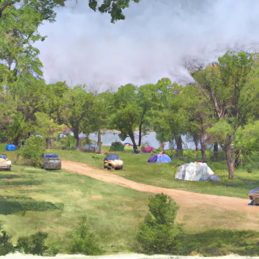
Area Campgrounds
| Location | Reservations | Toilets |
|---|---|---|
 Razorback Lake Campground
|
||
 Moosehead Lake Campground
|
||
 West Star Lake Campground
|
||
 East Star Lake Campground
|
||
 Big Lake Campground
|
||
 Pomeroy Lake
|
 Cisco Lake Near Watersmeet
 Manitowish River -- Fishtrap Dam Landing