
Nelson Dam 3511 Reservoir Report
Nearby: Hemelstrand Farms Dam Gregg Dam 1340
Last Updated: December 6, 2025
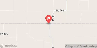
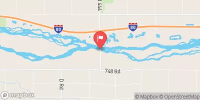
Nelson Dam 3511, located in Edison, Nebraska, is a privately owned structure designed for flood risk reduction along Big Antelope Creek.
°F
°F
mph
Wind
%
Humidity
Summary
Completed in 1980, this earth dam stands at a height of 19.6 feet and has a storage capacity of 88.4 acre-feet, serving the critical purpose of mitigating flood hazards in the area. Despite its low hazard potential, the dam's condition assessment was reported as poor during the last inspection in April 2017.
Managed by the Nebraska Department of Natural Resources, Nelson Dam 3511 is subject to state regulations, inspections, and enforcement to ensure its operational integrity and public safety. The dam, with a length of 225 feet and a drainage area of 1.98 square miles, plays a vital role in protecting the surrounding community from potential flooding events. With a surface area of 3.4 acres and a normal storage capacity of 7.2 acre-feet, this dam stands as a testament to the collaborative efforts between private owners and state agencies in safeguarding water resources and climate resilience in Gosper County, Nebraska.
Year Completed |
1980 |
Dam Length |
225 |
Dam Height |
19.6 |
River Or Stream |
Big Antelope Creek |
Primary Dam Type |
Earth |
Surface Area |
3.4 |
Hydraulic Height |
19.6 |
Drainage Area |
1.98 |
Nid Storage |
88.4 |
Structural Height |
19.6 |
Hazard Potential |
Low |
Foundations |
Soil |
Nid Height |
20 |
Seasonal Comparison
Weather Forecast
Nearby Streamflow Levels
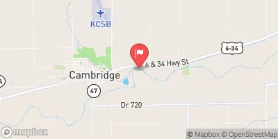 Republican River At Cambridge
|
60cfs |
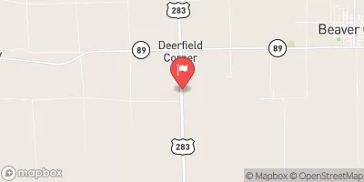 Beaver Creek Near Beaver City
|
1cfs |
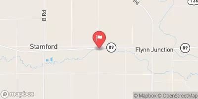 Sappa Creek Near Stamford
|
4cfs |
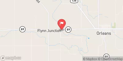 Republican River Near Orleans
|
59cfs |
 Sappa C Nr Lyle
|
1cfs |
 Platte River Near Overton
|
1040cfs |
Dam Data Reference
Condition Assessment
SatisfactoryNo existing or potential dam safety deficiencies are recognized. Acceptable performance is expected under all loading conditions (static, hydrologic, seismic) in accordance with the minimum applicable state or federal regulatory criteria or tolerable risk guidelines.
Fair
No existing dam safety deficiencies are recognized for normal operating conditions. Rare or extreme hydrologic and/or seismic events may result in a dam safety deficiency. Risk may be in the range to take further action. Note: Rare or extreme event is defined by the regulatory agency based on their minimum
Poor A dam safety deficiency is recognized for normal operating conditions which may realistically occur. Remedial action is necessary. POOR may also be used when uncertainties exist as to critical analysis parameters which identify a potential dam safety deficiency. Investigations and studies are necessary.
Unsatisfactory
A dam safety deficiency is recognized that requires immediate or emergency remedial action for problem resolution.
Not Rated
The dam has not been inspected, is not under state or federal jurisdiction, or has been inspected but, for whatever reason, has not been rated.
Not Available
Dams for which the condition assessment is restricted to approved government users.
Hazard Potential Classification
HighDams assigned the high hazard potential classification are those where failure or mis-operation will probably cause loss of human life.
Significant
Dams assigned the significant hazard potential classification are those dams where failure or mis-operation results in no probable loss of human life but can cause economic loss, environment damage, disruption of lifeline facilities, or impact other concerns. Significant hazard potential classification dams are often located in predominantly rural or agricultural areas but could be in areas with population and significant infrastructure.
Low
Dams assigned the low hazard potential classification are those where failure or mis-operation results in no probable loss of human life and low economic and/or environmental losses. Losses are principally limited to the owner's property.
Undetermined
Dams for which a downstream hazard potential has not been designated or is not provided.
Not Available
Dams for which the downstream hazard potential is restricted to approved government users.
 Nelson Dam 3511