


Bogus Creek 1 Reservoir Report
Last Updated: May 2, 2026
Nearby: Bogus Creek 2 Lost Creek 5
°F
°F
mph
Wind
%
Humidity
Bogus Creek 1 is a crucial flood risk reduction structure located in Pepin, Wisconsin.
Summary
Constructed in 1963 by the USDA NRCS, this earth dam stands at a height of 44 feet and has a hydraulic height of 24 feet. With a maximum storage capacity of 112 acre-feet, it serves the primary purpose of flood risk reduction, along with debris control.
Managed by the Wisconsin Department of Natural Resources, Bogus Creek 1 is regulated, inspected, and enforced by state authorities to ensure its structural integrity and safety. The dam has a fair condition assessment as of May 2020, with a low hazard potential. While the risk assessment is moderate, the structure meets guidelines for emergency action plans and inundation maps preparedness, highlighting its importance in mitigating potential risks in the area.
Overall, Bogus Creek 1 plays a crucial role in protecting the surrounding area from floods and ensuring the safety of residents. With its strategic location and efficient design, this dam stands as a testament to effective water resource management and climate resilience efforts in Wisconsin.
Regional Streamflow Levels
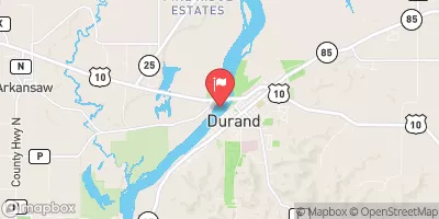 Chippewa River At Durand
|
22900cfs |
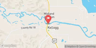 Zumbro River At Kellogg
|
1550cfs |
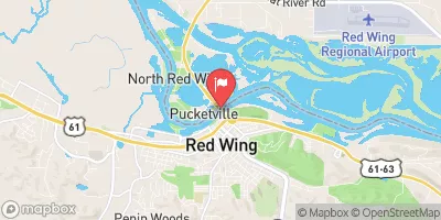 Mississippi River At Red Wing
|
45500cfs |
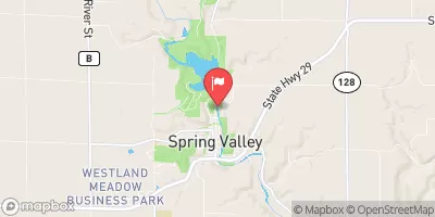 Eau Galle River At Spring Valley
|
36cfs |
 Cannon River At Welch
|
881cfs |
 Red Cedar River At Menomonie
|
2440cfs |
15-Day Long Term Forecast
Year Completed |
1963 |
Dam Length |
304 |
Dam Height |
44 |
River Or Stream |
Tributary to Bogus Creek |
Primary Dam Type |
Earth |
Surface Area |
4 |
Hydraulic Height |
24 |
Drainage Area |
2 |
Nid Storage |
112 |
Structural Height |
44 |
Hazard Potential |
Low |
Nid Height |
44 |
Seasonal Comparison
5-Day Hourly Forecast Detail
Dam Data Reference
Condition Assessment
SatisfactoryNo existing or potential dam safety deficiencies are recognized. Acceptable performance is expected under all loading conditions (static, hydrologic, seismic) in accordance with the minimum applicable state or federal regulatory criteria or tolerable risk guidelines.
Fair
No existing dam safety deficiencies are recognized for normal operating conditions. Rare or extreme hydrologic and/or seismic events may result in a dam safety deficiency. Risk may be in the range to take further action. Note: Rare or extreme event is defined by the regulatory agency based on their minimum
Poor A dam safety deficiency is recognized for normal operating conditions which may realistically occur. Remedial action is necessary. POOR may also be used when uncertainties exist as to critical analysis parameters which identify a potential dam safety deficiency. Investigations and studies are necessary.
Unsatisfactory
A dam safety deficiency is recognized that requires immediate or emergency remedial action for problem resolution.
Not Rated
The dam has not been inspected, is not under state or federal jurisdiction, or has been inspected but, for whatever reason, has not been rated.
Not Available
Dams for which the condition assessment is restricted to approved government users.
Hazard Potential Classification
HighDams assigned the high hazard potential classification are those where failure or mis-operation will probably cause loss of human life.
Significant
Dams assigned the significant hazard potential classification are those dams where failure or mis-operation results in no probable loss of human life but can cause economic loss, environment damage, disruption of lifeline facilities, or impact other concerns. Significant hazard potential classification dams are often located in predominantly rural or agricultural areas but could be in areas with population and significant infrastructure.
Low
Dams assigned the low hazard potential classification are those where failure or mis-operation results in no probable loss of human life and low economic and/or environmental losses. Losses are principally limited to the owner's property.
Undetermined
Dams for which a downstream hazard potential has not been designated or is not provided.
Not Available
Dams for which the downstream hazard potential is restricted to approved government users.
 Stockholm Village Park
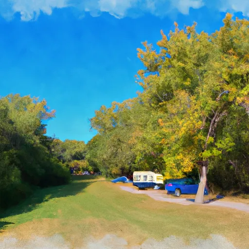
 Lake Pepin Campground
 Hok-Si-La Park Campground
 Frontenac State Park Cart-in
 Holden Park Campground
 Richard J. Dorer State Forest- Kruger Campground
 Mississippi River -- Deer Island Landing