


Raper Dam Reservoir Report
Last Updated: May 7, 2026
Nearby: Ms07010 Lake Dam Ms07008 Lake Dam
°F
°F
mph
Wind
%
Humidity
Raper Dam, located in Franklin County, Alabama, was completed in 1982 and is primarily used for recreation purposes.
Summary
Managed by USDA NRCS, this private dam on Gee Branch offers a serene setting for water resource and climate enthusiasts to explore. With a dam height of 31 feet and a storage capacity of 94 acre-feet, Raper Dam provides a low hazard potential for the surrounding community.
The dam's uncontrolled spillway and earth structure contribute to its moderate risk assessment rating. Despite not being state-regulated or inspected, Raper Dam remains in good condition without a formal assessment. As a popular spot for outdoor activities, the dam serves as an important recreational resource in the area. With its tranquil surroundings and low hazard potential, Raper Dam is a must-visit destination for those interested in water resource management and climate observation.
Regional Streamflow Levels
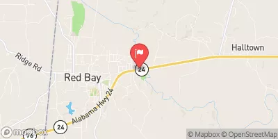 Bear Creek Near Red Bay
|
228cfs |
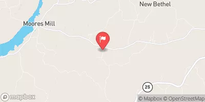 Red Bud Creek Nr Moores Mill
|
8cfs |
 Bear Creek At Bishop
|
4330cfs |
 Cummings Creek Nr Fulton
|
17cfs |
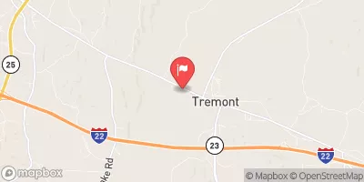 Bull Mountain Creek At Tremont
|
88cfs |
 Twentymile Creek Nr Guntown
|
11cfs |
15-Day Long Term Forecast
Year Completed |
1982 |
Dam Height |
31 |
River Or Stream |
GEE BRANCH |
Primary Dam Type |
Earth |
Drainage Area |
0.28 |
Nid Storage |
94 |
Hazard Potential |
Low |
Nid Height |
31 |
Seasonal Comparison
5-Day Hourly Forecast Detail
Dam Data Reference
Condition Assessment
SatisfactoryNo existing or potential dam safety deficiencies are recognized. Acceptable performance is expected under all loading conditions (static, hydrologic, seismic) in accordance with the minimum applicable state or federal regulatory criteria or tolerable risk guidelines.
Fair
No existing dam safety deficiencies are recognized for normal operating conditions. Rare or extreme hydrologic and/or seismic events may result in a dam safety deficiency. Risk may be in the range to take further action. Note: Rare or extreme event is defined by the regulatory agency based on their minimum
Poor A dam safety deficiency is recognized for normal operating conditions which may realistically occur. Remedial action is necessary. POOR may also be used when uncertainties exist as to critical analysis parameters which identify a potential dam safety deficiency. Investigations and studies are necessary.
Unsatisfactory
A dam safety deficiency is recognized that requires immediate or emergency remedial action for problem resolution.
Not Rated
The dam has not been inspected, is not under state or federal jurisdiction, or has been inspected but, for whatever reason, has not been rated.
Not Available
Dams for which the condition assessment is restricted to approved government users.
Hazard Potential Classification
HighDams assigned the high hazard potential classification are those where failure or mis-operation will probably cause loss of human life.
Significant
Dams assigned the significant hazard potential classification are those dams where failure or mis-operation results in no probable loss of human life but can cause economic loss, environment damage, disruption of lifeline facilities, or impact other concerns. Significant hazard potential classification dams are often located in predominantly rural or agricultural areas but could be in areas with population and significant infrastructure.
Low
Dams assigned the low hazard potential classification are those where failure or mis-operation results in no probable loss of human life and low economic and/or environmental losses. Losses are principally limited to the owner's property.
Undetermined
Dams for which a downstream hazard potential has not been designated or is not provided.
Not Available
Dams for which the downstream hazard potential is restricted to approved government users.
Area Campgrounds
| Location | Reservations | Toilets |
|---|---|---|
 Piney Grove Campground
|
||
 Williams Hollow Campground
|
||
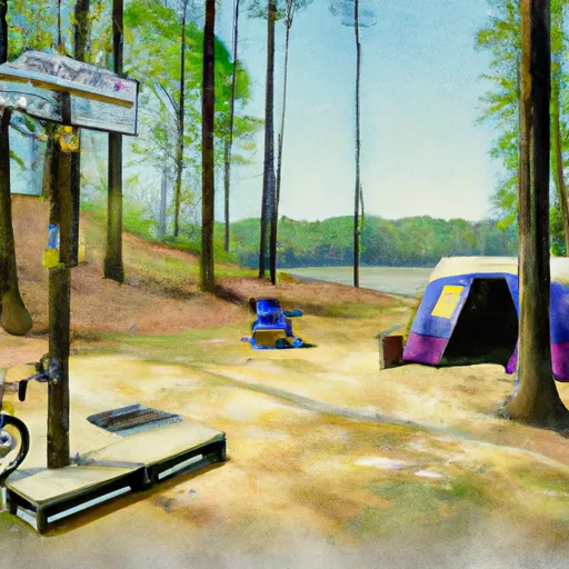 Colbert Ferry Bicycle Only Campground
|
 County Road 90 Franklin County
 Pickwick Lake
 O'Neal Harbor
 Cypress Creek
 Haleyville City Lake
 Indiancamp Creek