


Gerald Bryant Dam Reservoir Report
Last Updated: May 1, 2026
°F
°F
mph
Wind
%
Humidity
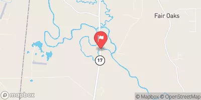
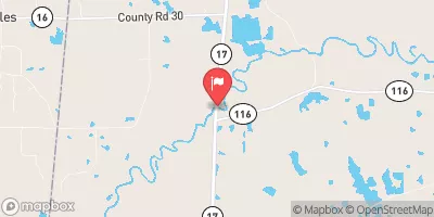
Gerald Bryant Dam, located in Aliceville, Alabama, serves as a vital habitat for fish and wildlife in the region.
Summary
Constructed in 1988 by the USDA NRCS, this private Earth dam stands at a height of 17 feet and stretches 1000 feet in length. With a storage capacity of 60 acre-feet and a surface area of 7 acres, the dam plays a crucial role in fire protection, stock, and small fish pond management.
Despite its low hazard potential, Gerald Bryant Dam poses a moderate risk due to its location along the Tombigbee River. The dam features an uncontrolled spillway with a width of 30 feet, allowing for a maximum discharge of 235 cubic feet per second. While the dam has not been rated for condition assessment, it remains an important asset for the conservation of wildlife and the management of water resources in the area.
Although the dam has not been inspected since 1988, the risk management measures in place aim to ensure the safety and integrity of the structure. With its diverse purposes and strategic location, Gerald Bryant Dam continues to be a valuable resource for the community and a key contributor to the conservation efforts along the Tombigbee River.
Regional Streamflow Levels
 Tombigbee River At Bevill L&D Nr Pickensville
|
54300cfs |
 Noxubee River Nr Geiger
|
3910cfs |
 Noxubee River At Macon
|
2760cfs |
 Tombigbee R At Gainesville L&D Nr Gainesville Al
|
49900cfs |
 Bodka Creek Near Geiger
|
15cfs |
 Luxapallila Creek Nr Columbus
|
2410cfs |
15-Day Long Term Forecast
Year Completed |
1988 |
Dam Length |
1000 |
Dam Height |
17 |
River Or Stream |
TR-TOMBIGBEE RIVER |
Primary Dam Type |
Earth |
Surface Area |
7 |
Drainage Area |
0.09 |
Nid Storage |
60 |
Hazard Potential |
Low |
Nid Height |
17 |
Seasonal Comparison
5-Day Hourly Forecast Detail
Dam Data Reference
Condition Assessment
SatisfactoryNo existing or potential dam safety deficiencies are recognized. Acceptable performance is expected under all loading conditions (static, hydrologic, seismic) in accordance with the minimum applicable state or federal regulatory criteria or tolerable risk guidelines.
Fair
No existing dam safety deficiencies are recognized for normal operating conditions. Rare or extreme hydrologic and/or seismic events may result in a dam safety deficiency. Risk may be in the range to take further action. Note: Rare or extreme event is defined by the regulatory agency based on their minimum
Poor A dam safety deficiency is recognized for normal operating conditions which may realistically occur. Remedial action is necessary. POOR may also be used when uncertainties exist as to critical analysis parameters which identify a potential dam safety deficiency. Investigations and studies are necessary.
Unsatisfactory
A dam safety deficiency is recognized that requires immediate or emergency remedial action for problem resolution.
Not Rated
The dam has not been inspected, is not under state or federal jurisdiction, or has been inspected but, for whatever reason, has not been rated.
Not Available
Dams for which the condition assessment is restricted to approved government users.
Hazard Potential Classification
HighDams assigned the high hazard potential classification are those where failure or mis-operation will probably cause loss of human life.
Significant
Dams assigned the significant hazard potential classification are those dams where failure or mis-operation results in no probable loss of human life but can cause economic loss, environment damage, disruption of lifeline facilities, or impact other concerns. Significant hazard potential classification dams are often located in predominantly rural or agricultural areas but could be in areas with population and significant infrastructure.
Low
Dams assigned the low hazard potential classification are those where failure or mis-operation results in no probable loss of human life and low economic and/or environmental losses. Losses are principally limited to the owner's property.
Undetermined
Dams for which a downstream hazard potential has not been designated or is not provided.
Not Available
Dams for which the downstream hazard potential is restricted to approved government users.