
Miller Pond Dam Reservoir Report
Nearby: Ralph Ketchum Dam Duling Lake Dam
Last Updated: December 20, 2025
Miller Pond Dam, located in Owen County, Indiana, is a private earth dam constructed in 1973 primarily for recreational purposes.
°F
°F
mph
Wind
%
Humidity
Summary
With a height of 32.5 feet and a length of 365 feet, the dam creates a reservoir with a storage capacity of 393 acre-feet and a surface area of 21 acres. The dam is situated on a drainage area of 0.93 square miles and has a maximum discharge capacity of 640 cubic feet per second.
Despite its recreational significance, the dam's hazard potential is classified as "Undetermined," and its condition assessment is marked as "Not Rated." The last inspection of the dam was conducted in November 1974, with no subsequent assessments reported. The dam does not fall under the jurisdiction of any state regulatory agency, and there are no state-mandated inspection, enforcement, or permitting requirements in place.
Water resource and climate enthusiasts may find Miller Pond Dam an intriguing subject for further exploration due to its unique purpose, design, and location. The lack of recent assessments and regulatory oversight raises questions about the dam's safety and maintenance practices, making it a potential area of interest for those interested in the intersection of water management, infrastructure, and environmental stewardship.
Year Completed |
1973 |
Dam Length |
365 |
Dam Height |
32.5 |
Primary Dam Type |
Earth |
Surface Area |
21 |
Drainage Area |
0.93 |
Nid Storage |
393 |
Hazard Potential |
Undetermined |
Nid Height |
33 |
Seasonal Comparison
Weather Forecast
Nearby Streamflow Levels
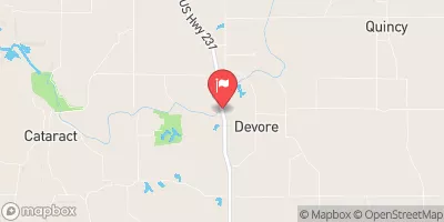 Mill Creek Near Cataract
|
160cfs |
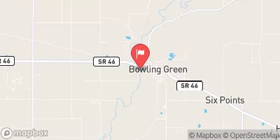 Eel River At Bowling Green
|
145cfs |
 White River Near Centerton
|
2080cfs |
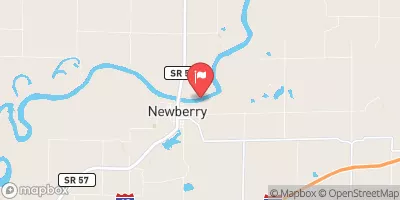 White River At Newberry
|
4080cfs |
 North Fork Salt Creek At Nashville
|
129cfs |
 White Lick Creek At Mooresville
|
220cfs |
Dam Data Reference
Condition Assessment
SatisfactoryNo existing or potential dam safety deficiencies are recognized. Acceptable performance is expected under all loading conditions (static, hydrologic, seismic) in accordance with the minimum applicable state or federal regulatory criteria or tolerable risk guidelines.
Fair
No existing dam safety deficiencies are recognized for normal operating conditions. Rare or extreme hydrologic and/or seismic events may result in a dam safety deficiency. Risk may be in the range to take further action. Note: Rare or extreme event is defined by the regulatory agency based on their minimum
Poor A dam safety deficiency is recognized for normal operating conditions which may realistically occur. Remedial action is necessary. POOR may also be used when uncertainties exist as to critical analysis parameters which identify a potential dam safety deficiency. Investigations and studies are necessary.
Unsatisfactory
A dam safety deficiency is recognized that requires immediate or emergency remedial action for problem resolution.
Not Rated
The dam has not been inspected, is not under state or federal jurisdiction, or has been inspected but, for whatever reason, has not been rated.
Not Available
Dams for which the condition assessment is restricted to approved government users.
Hazard Potential Classification
HighDams assigned the high hazard potential classification are those where failure or mis-operation will probably cause loss of human life.
Significant
Dams assigned the significant hazard potential classification are those dams where failure or mis-operation results in no probable loss of human life but can cause economic loss, environment damage, disruption of lifeline facilities, or impact other concerns. Significant hazard potential classification dams are often located in predominantly rural or agricultural areas but could be in areas with population and significant infrastructure.
Low
Dams assigned the low hazard potential classification are those where failure or mis-operation results in no probable loss of human life and low economic and/or environmental losses. Losses are principally limited to the owner's property.
Undetermined
Dams for which a downstream hazard potential has not been designated or is not provided.
Not Available
Dams for which the downstream hazard potential is restricted to approved government users.
Area Campgrounds
| Location | Reservations | Toilets |
|---|---|---|
 Owen Putnam State Forest
|
||
 Area 3
|
||
 Area 2
|
||
 Area 4
|
||
 Area 1
|
||
 Horseman's Campground
|
 Miller Pond Dam