
Duling Lake Dam Reservoir Report
Nearby: Dutton Lake Dam Ralph Ketchum Dam
Last Updated: December 20, 2025
Duling Lake Dam in Indiana is a private-owned structure primarily used for recreation purposes.
°F
°F
mph
Wind
%
Humidity
Summary
With a dam height of 19.9 feet and a significant hazard potential, it sits on the coordinates 39.30970062 latitude and -86.77705229 longitude, within Owen County. Despite not being regulated or inspected by the state, the dam's last inspection dates back to November 1978, raising concerns about its current condition and safety measures.
The dam, constructed of earth materials, lacks detailed information on its volume, storage capacity, and drainage area. It also does not have a spillway or outlet gates specified in the data, potentially impacting its ability to control water flow effectively. While the dam's exact completion year remains unknown, its age and lack of recent inspections warrant increased attention to ensure its structural integrity and emergency preparedness in case of any unforeseen incidents.
Enthusiasts in water resource management and climate change should monitor Duling Lake Dam closely, advocating for updated inspections, risk assessments, and potential renovations to mitigate any safety risks associated with the dam. As a significant hazard potential structure with no recent condition rating, it is crucial to prioritize the maintenance and regulatory oversight of this dam to safeguard both the surrounding environment and the local community's recreational activities.
Dam Height |
19.9 |
Primary Dam Type |
Earth |
Hazard Potential |
Significant |
Nid Height |
20 |
Seasonal Comparison
Weather Forecast
Nearby Streamflow Levels
 Mill Creek Near Cataract
|
160cfs |
 Eel River At Bowling Green
|
145cfs |
 White River Near Centerton
|
2080cfs |
 White River At Newberry
|
4080cfs |
 North Fork Salt Creek At Nashville
|
129cfs |
 White Lick Creek At Mooresville
|
220cfs |
Dam Data Reference
Condition Assessment
SatisfactoryNo existing or potential dam safety deficiencies are recognized. Acceptable performance is expected under all loading conditions (static, hydrologic, seismic) in accordance with the minimum applicable state or federal regulatory criteria or tolerable risk guidelines.
Fair
No existing dam safety deficiencies are recognized for normal operating conditions. Rare or extreme hydrologic and/or seismic events may result in a dam safety deficiency. Risk may be in the range to take further action. Note: Rare or extreme event is defined by the regulatory agency based on their minimum
Poor A dam safety deficiency is recognized for normal operating conditions which may realistically occur. Remedial action is necessary. POOR may also be used when uncertainties exist as to critical analysis parameters which identify a potential dam safety deficiency. Investigations and studies are necessary.
Unsatisfactory
A dam safety deficiency is recognized that requires immediate or emergency remedial action for problem resolution.
Not Rated
The dam has not been inspected, is not under state or federal jurisdiction, or has been inspected but, for whatever reason, has not been rated.
Not Available
Dams for which the condition assessment is restricted to approved government users.
Hazard Potential Classification
HighDams assigned the high hazard potential classification are those where failure or mis-operation will probably cause loss of human life.
Significant
Dams assigned the significant hazard potential classification are those dams where failure or mis-operation results in no probable loss of human life but can cause economic loss, environment damage, disruption of lifeline facilities, or impact other concerns. Significant hazard potential classification dams are often located in predominantly rural or agricultural areas but could be in areas with population and significant infrastructure.
Low
Dams assigned the low hazard potential classification are those where failure or mis-operation results in no probable loss of human life and low economic and/or environmental losses. Losses are principally limited to the owner's property.
Undetermined
Dams for which a downstream hazard potential has not been designated or is not provided.
Not Available
Dams for which the downstream hazard potential is restricted to approved government users.
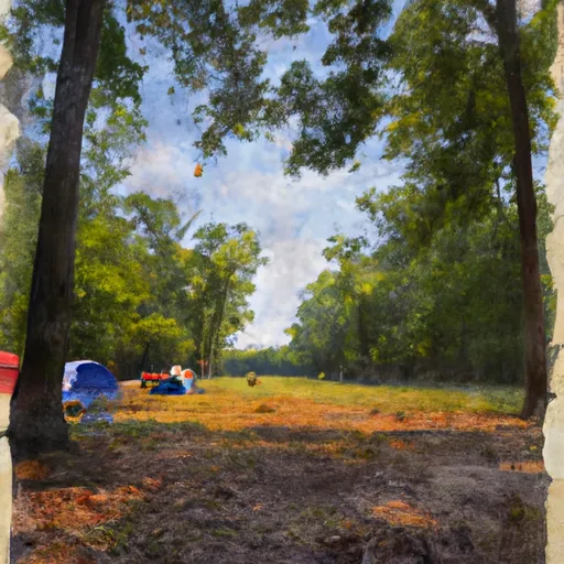
Area Campgrounds
| Location | Reservations | Toilets |
|---|---|---|
 Area 2
|
||
 Area 3
|
||
 Area 1
|
||
 Area 4
|
||
 Owen Putnam State Forest
|
||
 Horseman's Campground
|
 Duling Lake Dam