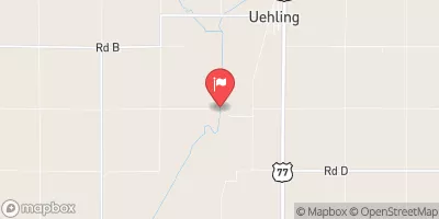
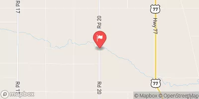
Tekamah-Mud Creek 5-A Reservoir Report
Last Updated: January 7, 2026
Tekamah-Mud Creek 5-A is a vital structure in Nebraska's flood risk reduction efforts, designed by USDA NRCS and regulated by NE DNR.
°F
°F
mph
Wind
%
Humidity
Summary
Completed in 1980, this earth dam stands at a height of 68 feet and serves the primary purpose of flood risk reduction along Tekamah Creek. With a normal storage capacity of 2616 acre-feet and a drainage area of 9.7 square miles, this dam plays a crucial role in mitigating potential hazards in the region.
Situated in Burt County, Nebraska, Tekamah-Mud Creek 5-A has a high hazard potential but is currently assessed as satisfactory in condition. The dam has a structural height of 76 feet and a hydraulic height of 66 feet, with a maximum discharge capacity of 23370 cubic feet per second. Its last inspection in November 2020 found it to be in good shape, with an inspection frequency of once a year to ensure its continued effectiveness in flood risk management.
Local government ownership and state regulation ensure that Tekamah-Mud Creek 5-A meets necessary standards for safety and operation. While there are no associated structures, this dam's significant role in flood risk reduction in the area, combined with its impressive storage capacity and discharge capabilities, highlights its importance in protecting the surrounding community from potential water-related disasters.
Year Completed |
1980 |
Dam Length |
1400 |
Dam Height |
68 |
River Or Stream |
TR-TEKAMAH CREEK |
Primary Dam Type |
Earth |
Surface Area |
193 |
Hydraulic Height |
66 |
Drainage Area |
9.7 |
Nid Storage |
6861 |
Structural Height |
76 |
Hazard Potential |
High |
Foundations |
Soil |
Nid Height |
76 |
Seasonal Comparison
Weather Forecast
Nearby Streamflow Levels
 Logan Creek Near Uehling
|
359cfs |
 Missouri River At Decatur
|
15700cfs |
 Soldier River At Pisgah
|
112cfs |
 Maple Creek Near Nickerson
|
64cfs |
 Monona-Harrison Ditch Near Turin
|
158cfs |
 Little Sioux River Near Turin
|
1040cfs |
Dam Data Reference
Condition Assessment
SatisfactoryNo existing or potential dam safety deficiencies are recognized. Acceptable performance is expected under all loading conditions (static, hydrologic, seismic) in accordance with the minimum applicable state or federal regulatory criteria or tolerable risk guidelines.
Fair
No existing dam safety deficiencies are recognized for normal operating conditions. Rare or extreme hydrologic and/or seismic events may result in a dam safety deficiency. Risk may be in the range to take further action. Note: Rare or extreme event is defined by the regulatory agency based on their minimum
Poor A dam safety deficiency is recognized for normal operating conditions which may realistically occur. Remedial action is necessary. POOR may also be used when uncertainties exist as to critical analysis parameters which identify a potential dam safety deficiency. Investigations and studies are necessary.
Unsatisfactory
A dam safety deficiency is recognized that requires immediate or emergency remedial action for problem resolution.
Not Rated
The dam has not been inspected, is not under state or federal jurisdiction, or has been inspected but, for whatever reason, has not been rated.
Not Available
Dams for which the condition assessment is restricted to approved government users.
Hazard Potential Classification
HighDams assigned the high hazard potential classification are those where failure or mis-operation will probably cause loss of human life.
Significant
Dams assigned the significant hazard potential classification are those dams where failure or mis-operation results in no probable loss of human life but can cause economic loss, environment damage, disruption of lifeline facilities, or impact other concerns. Significant hazard potential classification dams are often located in predominantly rural or agricultural areas but could be in areas with population and significant infrastructure.
Low
Dams assigned the low hazard potential classification are those where failure or mis-operation results in no probable loss of human life and low economic and/or environmental losses. Losses are principally limited to the owner's property.
Undetermined
Dams for which a downstream hazard potential has not been designated or is not provided.
Not Available
Dams for which the downstream hazard potential is restricted to approved government users.

 Tekamah-Mud Creek 5-A