
Summary
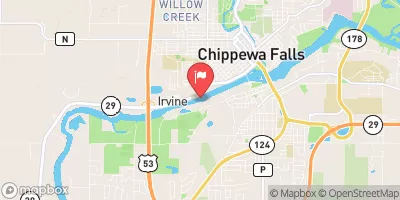
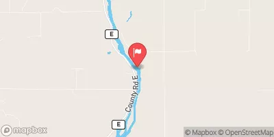
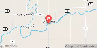
This hydroelectric facility, managed by a public utility, serves as a crucial water resource and climate asset in the region. With a height of 30 feet and a length of 1376 feet, the dam provides storage of 2250 acre-feet, covering a surface area of 270 acres and draining a watershed of 5650 acres.
The dam features a controlled spillway with a width of 572 feet and 13 radial Tainter gates for outlet control. While the hazard potential is classified as low, the risk assessment indicates a very high risk level, emphasizing the importance of effective risk management measures. The Federal Energy Regulatory Commission oversees regulatory aspects, such as inspections and enforcement, ensuring the safety and compliance of the dam.
Overall, Chippewa Falls dam plays a vital role in generating hydroelectric power and managing water resources in the region. Its historical significance, combined with its modern operational features, makes it a key infrastructure for water resource and climate enthusiasts to explore and appreciate.
°F
°F
mph
Wind
%
Humidity
15-Day Weather Outlook
Year Completed |
1928 |
Dam Length |
1376 |
Dam Height |
30 |
River Or Stream |
Chippewa River |
Primary Dam Type |
Gravity |
Surface Area |
270 |
Drainage Area |
5650 |
Nid Storage |
2250 |
Outlet Gates |
Tainter (radial) - 13 |
Hazard Potential |
Low |
Foundations |
Rock |
Nid Height |
30 |
Seasonal Comparison
5-Day Hourly Forecast Detail
Nearby Streamflow Levels
 Chippewa River At Chippewa Falls
|
3910cfs |
 Red Cedar River Near Colfax
|
593cfs |
 Hay River At Wheeler
|
235cfs |
 Red Cedar River At Menomonie
|
1670cfs |
 Flambeau River Near Bruce
|
1120cfs |
 Jump River At Sheldon
|
155cfs |
Dam Data Reference
Condition Assessment
SatisfactoryNo existing or potential dam safety deficiencies are recognized. Acceptable performance is expected under all loading conditions (static, hydrologic, seismic) in accordance with the minimum applicable state or federal regulatory criteria or tolerable risk guidelines.
Fair
No existing dam safety deficiencies are recognized for normal operating conditions. Rare or extreme hydrologic and/or seismic events may result in a dam safety deficiency. Risk may be in the range to take further action. Note: Rare or extreme event is defined by the regulatory agency based on their minimum
Poor A dam safety deficiency is recognized for normal operating conditions which may realistically occur. Remedial action is necessary. POOR may also be used when uncertainties exist as to critical analysis parameters which identify a potential dam safety deficiency. Investigations and studies are necessary.
Unsatisfactory
A dam safety deficiency is recognized that requires immediate or emergency remedial action for problem resolution.
Not Rated
The dam has not been inspected, is not under state or federal jurisdiction, or has been inspected but, for whatever reason, has not been rated.
Not Available
Dams for which the condition assessment is restricted to approved government users.
Hazard Potential Classification
HighDams assigned the high hazard potential classification are those where failure or mis-operation will probably cause loss of human life.
Significant
Dams assigned the significant hazard potential classification are those dams where failure or mis-operation results in no probable loss of human life but can cause economic loss, environment damage, disruption of lifeline facilities, or impact other concerns. Significant hazard potential classification dams are often located in predominantly rural or agricultural areas but could be in areas with population and significant infrastructure.
Low
Dams assigned the low hazard potential classification are those where failure or mis-operation results in no probable loss of human life and low economic and/or environmental losses. Losses are principally limited to the owner's property.
Undetermined
Dams for which a downstream hazard potential has not been designated or is not provided.
Not Available
Dams for which the downstream hazard potential is restricted to approved government users.
Area Campgrounds
| Location | Reservations | Toilets |
|---|---|---|
 Fair Hill Campgounds
|
||
 Fair Hill County Campground
|
||
 Lake Wissota State Park
|
||
 Lake Wissota State Park Campground
|
 Chippewa Falls
 Chippewa River -- Access Off River Rd