Summary
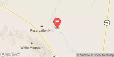
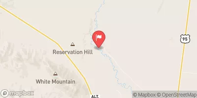
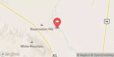
It was constructed in 1896 to hold water for irrigation purposes. The reservoir has a capacity of 18,000 acre-feet and is used to store water from the Walker River for irrigation and domestic purposes. The reservoir is fed by snowpack from the Sierra Nevada Mountains and surface water flows from the Walker River. The water is primarily used for agricultural purposes, including the irrigation of alfalfa, corn, and pasture lands. The reservoir also provides recreational activities such as fishing and boating. The hydrology of the reservoir is managed by Walker River Irrigation District, which monitors water levels and releases.
Reservoir Details
| Elevation Of Reservoir Water Surface Above Datum, Ft 24hr Change | 0.0% |
| Percent of Normal | 100% |
| Minimum |
4,193.12 ft
2014-09-21 |
| Maximum |
4,208.5 ft
2012-06-08 |
| Average | 4,202 ft |
| Dam_Height | 40 |
| Hydraulic_Height | 36 |
| Drainage_Area | 2650 |
| Year_Completed | 1935 |
| Nid_Storage | 14900 |
| River_Or_Stream | WALKER RIVER |
| Structural_Height | 50 |
| Foundations | Rock, Soil |
| Surface_Area | 990 |
| Outlet_Gates | Other Controlled - 1, Slide (sluice gate) - 2, Tainter (radial) - 3 |
| Dam_Length | 1950 |
| Hazard_Potential | High |
| Primary_Dam_Type | Earth |
| Nid_Height | 50 |
Seasonal Comparison
Reservoir Storage, Acre-Ft Levels
Elevation Of Reservoir Water Surface Above Datum, Ft Levels
Weather Forecast
Nearby Streamflow Levels
Dam Data Reference
Condition Assessment
SatisfactoryNo existing or potential dam safety deficiencies are recognized. Acceptable performance is expected under all loading conditions (static, hydrologic, seismic) in accordance with the minimum applicable state or federal regulatory criteria or tolerable risk guidelines.
Fair
No existing dam safety deficiencies are recognized for normal operating conditions. Rare or extreme hydrologic and/or seismic events may result in a dam safety deficiency. Risk may be in the range to take further action. Note: Rare or extreme event is defined by the regulatory agency based on their minimum
Poor A dam safety deficiency is recognized for normal operating conditions which may realistically occur. Remedial action is necessary. POOR may also be used when uncertainties exist as to critical analysis parameters which identify a potential dam safety deficiency. Investigations and studies are necessary.
Unsatisfactory
A dam safety deficiency is recognized that requires immediate or emergency remedial action for problem resolution.
Not Rated
The dam has not been inspected, is not under state or federal jurisdiction, or has been inspected but, for whatever reason, has not been rated.
Not Available
Dams for which the condition assessment is restricted to approved government users.
Hazard Potential Classification
HighDams assigned the high hazard potential classification are those where failure or mis-operation will probably cause loss of human life.
Significant
Dams assigned the significant hazard potential classification are those dams where failure or mis-operation results in no probable loss of human life but can cause economic loss, environment damage, disruption of lifeline facilities, or impact other concerns. Significant hazard potential classification dams are often located in predominantly rural or agricultural areas but could be in areas with population and significant infrastructure.
Low
Dams assigned the low hazard potential classification are those where failure or mis-operation results in no probable loss of human life and low economic and/or environmental losses. Losses are principally limited to the owner's property.
Undetermined
Dams for which a downstream hazard potential has not been designated or is not provided.
Not Available
Dams for which the downstream hazard potential is restricted to approved government users.

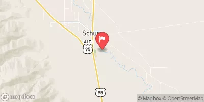
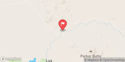
 Weber
Weber
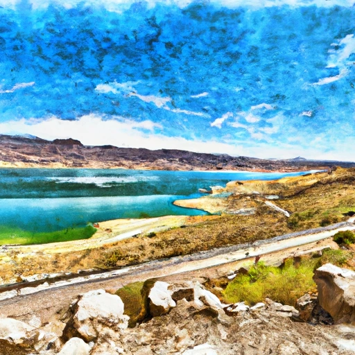 Weber Reservoir Near Schurz