


Fryeburg Reservoir Report
Last Updated: April 29, 2026
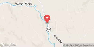
Nearby: Swans Falls Clay's Pond
°F
°F
mph
Wind
%
Humidity
Located in Oxford County, Maine, Fryeburg is home to the Wards Pond Brook, a vital water resource that supports various purposes such as fire protection, stock pond, fish and wildlife habitat, and hydroelectric power generation.
Summary
The Fryeburg dam, completed in 1900, stands at a height of 17 feet and has a storage capacity of 600 acre-feet, providing essential water management for the local community. With a low hazard potential and a condition assessment of "Not Rated," the Fryeburg dam plays a crucial role in water resource management in the region.
Managed by private owners and regulated by the Maine Emergency Management Agency (MEMA), Fryeburg dam undergoes regular inspections, with the last one conducted in September 2017. The dam's primary purpose of hydroelectric power generation underscores its importance in sustainable energy production and climate resilience efforts. With a surface area of 9 acres and a drainage area of 1.4 square miles, Fryeburg dam contributes to the ecological balance of the area while providing recreational opportunities for residents and visitors.
Supported by a spillway width of 14 feet and a hydraulic height of 20 feet, Fryeburg dam exemplifies responsible water resource management and infrastructure maintenance. As a part of the New England District, the dam's role in flood control and water supply enhancement is crucial for ensuring the well-being of the local community and surrounding environment. With its historical significance and ongoing operational effectiveness, Fryeburg dam stands as a testament to the synergy between water resource management, climate resilience, and sustainable energy production in the region.
Regional Streamflow Levels
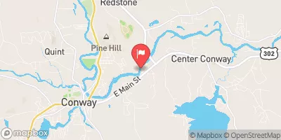 Saco River Near Conway
|
917cfs |
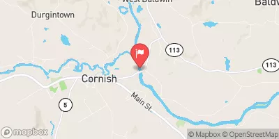 Saco River At Cornish
|
3000cfs |
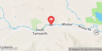 Bearcamp River At South Tamworth
|
84cfs |
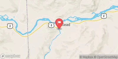 Wild River At Gilead
|
100cfs |
 Little Androscoggin River Near South Paris
|
89cfs |
 Androscoggin River Near Gorham
|
2080cfs |
15-Day Long Term Forecast
Year Completed |
1900 |
Dam Length |
250 |
Dam Height |
17 |
River Or Stream |
Wards Pond Brook |
Primary Dam Type |
Earth |
Surface Area |
9 |
Hydraulic Height |
20 |
Drainage Area |
1.4 |
Nid Storage |
600 |
Structural Height |
17 |
Hazard Potential |
Low |
Nid Height |
20 |
Seasonal Comparison
5-Day Hourly Forecast Detail
Dam Data Reference
Condition Assessment
SatisfactoryNo existing or potential dam safety deficiencies are recognized. Acceptable performance is expected under all loading conditions (static, hydrologic, seismic) in accordance with the minimum applicable state or federal regulatory criteria or tolerable risk guidelines.
Fair
No existing dam safety deficiencies are recognized for normal operating conditions. Rare or extreme hydrologic and/or seismic events may result in a dam safety deficiency. Risk may be in the range to take further action. Note: Rare or extreme event is defined by the regulatory agency based on their minimum
Poor A dam safety deficiency is recognized for normal operating conditions which may realistically occur. Remedial action is necessary. POOR may also be used when uncertainties exist as to critical analysis parameters which identify a potential dam safety deficiency. Investigations and studies are necessary.
Unsatisfactory
A dam safety deficiency is recognized that requires immediate or emergency remedial action for problem resolution.
Not Rated
The dam has not been inspected, is not under state or federal jurisdiction, or has been inspected but, for whatever reason, has not been rated.
Not Available
Dams for which the condition assessment is restricted to approved government users.
Hazard Potential Classification
HighDams assigned the high hazard potential classification are those where failure or mis-operation will probably cause loss of human life.
Significant
Dams assigned the significant hazard potential classification are those dams where failure or mis-operation results in no probable loss of human life but can cause economic loss, environment damage, disruption of lifeline facilities, or impact other concerns. Significant hazard potential classification dams are often located in predominantly rural or agricultural areas but could be in areas with population and significant infrastructure.
Low
Dams assigned the low hazard potential classification are those where failure or mis-operation results in no probable loss of human life and low economic and/or environmental losses. Losses are principally limited to the owner's property.
Undetermined
Dams for which a downstream hazard potential has not been designated or is not provided.
Not Available
Dams for which the downstream hazard potential is restricted to approved government users.
 Fiddlehead Campground SHOWERS
 Fiddlehead Campground CHECKIN AND CAMP STORE
 Fiddlehead Campground B9
 Province Pond Shelter
 Mountain Pond Shelter
 Conway Lake boat launch