


Mill Pond Reservoir Report
Last Updated: April 29, 2026
Nearby: Kezar Lake Outlet Heald Pond
°F
°F
mph
Wind
%
Humidity
Mill Pond, located in Oxford, Maine, is a concrete dam structure completed in 1850 with a primary purpose of serving as a fire protection, stock, or small fish pond.
Summary
Managed by the local government, this dam on the Kezar River has a height of 25 feet and a storage capacity of 300 acre-feet, with a normal storage level of 240 acre-feet. The surface area of the pond is approximately 50 acres, with a drainage area of 32 square miles.
Although Mill Pond has a low hazard potential and has not been rated for condition assessment, it is regulated by the Maine Emergency Management Agency (MEMA) and undergoes regular state inspections, permitting, and enforcement. The dam also has a spillway width of 53 feet to manage water flow during times of high discharge. While the dam has not been modified in recent years, the last inspection was conducted in 2013, with a scheduled frequency of every 12 months. For water resource and climate enthusiasts, Mill Pond offers a historic and well-maintained structure that serves important purposes for both fire protection and wildlife conservation in the region.
Regional Streamflow Levels
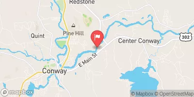 Saco River Near Conway
|
917cfs |
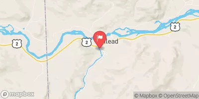 Wild River At Gilead
|
100cfs |
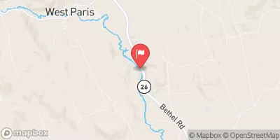 Little Androscoggin River Near South Paris
|
89cfs |
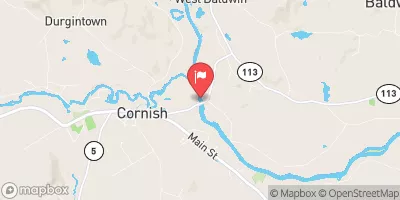 Saco River At Cornish
|
3000cfs |
 Androscoggin River Near Gorham
|
2080cfs |
 Bearcamp River At South Tamworth
|
84cfs |
15-Day Long Term Forecast
Year Completed |
1850 |
Dam Length |
248 |
Dam Height |
25 |
River Or Stream |
Kezar |
Primary Dam Type |
Concrete |
Surface Area |
50 |
Hydraulic Height |
18 |
Drainage Area |
32 |
Nid Storage |
300 |
Structural Height |
25 |
Hazard Potential |
Low |
Nid Height |
25 |
Seasonal Comparison
5-Day Hourly Forecast Detail
Dam Data Reference
Condition Assessment
SatisfactoryNo existing or potential dam safety deficiencies are recognized. Acceptable performance is expected under all loading conditions (static, hydrologic, seismic) in accordance with the minimum applicable state or federal regulatory criteria or tolerable risk guidelines.
Fair
No existing dam safety deficiencies are recognized for normal operating conditions. Rare or extreme hydrologic and/or seismic events may result in a dam safety deficiency. Risk may be in the range to take further action. Note: Rare or extreme event is defined by the regulatory agency based on their minimum
Poor A dam safety deficiency is recognized for normal operating conditions which may realistically occur. Remedial action is necessary. POOR may also be used when uncertainties exist as to critical analysis parameters which identify a potential dam safety deficiency. Investigations and studies are necessary.
Unsatisfactory
A dam safety deficiency is recognized that requires immediate or emergency remedial action for problem resolution.
Not Rated
The dam has not been inspected, is not under state or federal jurisdiction, or has been inspected but, for whatever reason, has not been rated.
Not Available
Dams for which the condition assessment is restricted to approved government users.
Hazard Potential Classification
HighDams assigned the high hazard potential classification are those where failure or mis-operation will probably cause loss of human life.
Significant
Dams assigned the significant hazard potential classification are those dams where failure or mis-operation results in no probable loss of human life but can cause economic loss, environment damage, disruption of lifeline facilities, or impact other concerns. Significant hazard potential classification dams are often located in predominantly rural or agricultural areas but could be in areas with population and significant infrastructure.
Low
Dams assigned the low hazard potential classification are those where failure or mis-operation results in no probable loss of human life and low economic and/or environmental losses. Losses are principally limited to the owner's property.
Undetermined
Dams for which a downstream hazard potential has not been designated or is not provided.
Not Available
Dams for which the downstream hazard potential is restricted to approved government users.
 Fiddlehead Campground B9
 Fiddlehead Campground CHECKIN AND CAMP STORE
 Fiddlehead Campground SHOWERS
 Province Pond Shelter
 Mountain Pond Shelter
 Baldface Shelter
 Norway Road Harrison