Wanaque Reservoir At Wanaque Nj Reservoir Report
Nearby: Raymond Dam Wolf Den Dam
Last Updated: February 23, 2026
Wanaque Reservoir, located in Wanaque, New Jersey, is a man-made lake created in the 1920s by the construction of the Wanaque Dam.
Summary
It is used as a source of drinking water for more than 3 million people in New Jersey. The reservoir's hydrology is primarily fed by the Wanaque River, a major tributary of the Pequannock River, and smaller streams that flow into it. The surface flow and snowpack providers for the reservoir include the Wanaque River and its tributaries, as well as precipitation and meltwater from the surrounding mountains. The reservoir is strictly regulated for public safety, and there are no agricultural or recreational uses allowed. However, there are several parks and hiking trails in the surrounding area that offer picturesque views of the reservoir.
°F
°F
mph
Wind
%
Humidity
15-Day Weather Outlook
Reservoir Details
| Lake Or Reservoir Water Surface Elevation Above Ngvd 1929, Ft 24hr Change | -0.04% |
| Percent of Normal | 94% |
| Minimum |
270.13 ft
2025-12-19 |
| Maximum |
303.93 ft
2011-03-12 |
| Average | 294 ft |
Seasonal Comparison
Lake Or Reservoir Water Surface Elevation Above Ngvd 1929, Ft Levels
5-Day Hourly Forecast Detail
Nearby Streamflow Levels
Dam Data Reference
Condition Assessment
SatisfactoryNo existing or potential dam safety deficiencies are recognized. Acceptable performance is expected under all loading conditions (static, hydrologic, seismic) in accordance with the minimum applicable state or federal regulatory criteria or tolerable risk guidelines.
Fair
No existing dam safety deficiencies are recognized for normal operating conditions. Rare or extreme hydrologic and/or seismic events may result in a dam safety deficiency. Risk may be in the range to take further action. Note: Rare or extreme event is defined by the regulatory agency based on their minimum
Poor A dam safety deficiency is recognized for normal operating conditions which may realistically occur. Remedial action is necessary. POOR may also be used when uncertainties exist as to critical analysis parameters which identify a potential dam safety deficiency. Investigations and studies are necessary.
Unsatisfactory
A dam safety deficiency is recognized that requires immediate or emergency remedial action for problem resolution.
Not Rated
The dam has not been inspected, is not under state or federal jurisdiction, or has been inspected but, for whatever reason, has not been rated.
Not Available
Dams for which the condition assessment is restricted to approved government users.
Hazard Potential Classification
HighDams assigned the high hazard potential classification are those where failure or mis-operation will probably cause loss of human life.
Significant
Dams assigned the significant hazard potential classification are those dams where failure or mis-operation results in no probable loss of human life but can cause economic loss, environment damage, disruption of lifeline facilities, or impact other concerns. Significant hazard potential classification dams are often located in predominantly rural or agricultural areas but could be in areas with population and significant infrastructure.
Low
Dams assigned the low hazard potential classification are those where failure or mis-operation results in no probable loss of human life and low economic and/or environmental losses. Losses are principally limited to the owner's property.
Undetermined
Dams for which a downstream hazard potential has not been designated or is not provided.
Not Available
Dams for which the downstream hazard potential is restricted to approved government users.



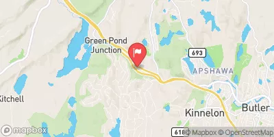
 Overflow Weir Dam
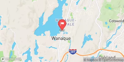
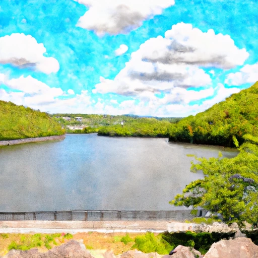 Wanaque Reservoir At Wanaque Nj
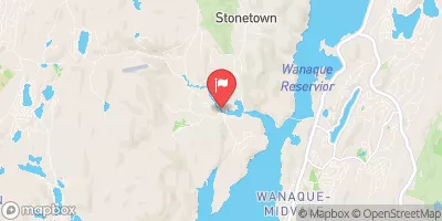
 Greenwood Lk At Awosting Nj
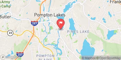
 Lakeside Avenue Pompton Lakes