Stillwater Reservoir Nr Beaver River Ny Reservoir Report
Last Updated: January 11, 2026
Stillwater Reservoir is located in the Adirondack Mountains of New York and was created in the 1920s by the construction of a dam on the Beaver River.
°F
°F
mph
Wind
%
Humidity
Summary
The reservoir is used for hydroelectric power generation and flood control. The hydrology of the reservoir is dependent on the surrounding snowpack and precipitation, with the largest inflows coming from the Beaver River and its tributaries. The reservoir is also used for recreational activities such as fishing, boating, and camping. The surrounding area is primarily forested and there are no significant agricultural uses in the immediate vicinity. The reservoir is managed by the New York State Department of Environmental Conservation and is part of the Adirondack Park, a protected area of over 6 million acres.
Reservoir Details
| Lake Or Reservoir Water Surface Elevation Above Navd 1988, Ft 24hr Change | 0.01% |
| Percent of Normal | 100% |
| Minimum |
1,661.48 ft
2021-03-11 |
| Maximum |
1,680.51 ft
2024-07-18 |
| Average | 1,669 ft |
| Dam_Height | 20 |
| Drainage_Area | 172 |
| Year_Completed | 1924 |
| Nid_Storage | 108000 |
| Hazard_Potential | Significant |
| River_Or_Stream | Beaver River |
| Foundations | Soil |
| Surface_Area | 6490 |
| Dam_Length | 330 |
| Primary_Dam_Type | Earth |
| Nid_Height | 20 |
Seasonal Comparison
Precipitation, Total, In Levels
Lake Or Reservoir Water Surface Elevation Above Ngvd 1929, Ft Levels
Lake Or Reservoir Water Surface Elevation Above Navd 1988, Ft Levels
Weather Forecast
Nearby Streamflow Levels
Dam Data Reference
Condition Assessment
SatisfactoryNo existing or potential dam safety deficiencies are recognized. Acceptable performance is expected under all loading conditions (static, hydrologic, seismic) in accordance with the minimum applicable state or federal regulatory criteria or tolerable risk guidelines.
Fair
No existing dam safety deficiencies are recognized for normal operating conditions. Rare or extreme hydrologic and/or seismic events may result in a dam safety deficiency. Risk may be in the range to take further action. Note: Rare or extreme event is defined by the regulatory agency based on their minimum
Poor A dam safety deficiency is recognized for normal operating conditions which may realistically occur. Remedial action is necessary. POOR may also be used when uncertainties exist as to critical analysis parameters which identify a potential dam safety deficiency. Investigations and studies are necessary.
Unsatisfactory
A dam safety deficiency is recognized that requires immediate or emergency remedial action for problem resolution.
Not Rated
The dam has not been inspected, is not under state or federal jurisdiction, or has been inspected but, for whatever reason, has not been rated.
Not Available
Dams for which the condition assessment is restricted to approved government users.
Hazard Potential Classification
HighDams assigned the high hazard potential classification are those where failure or mis-operation will probably cause loss of human life.
Significant
Dams assigned the significant hazard potential classification are those dams where failure or mis-operation results in no probable loss of human life but can cause economic loss, environment damage, disruption of lifeline facilities, or impact other concerns. Significant hazard potential classification dams are often located in predominantly rural or agricultural areas but could be in areas with population and significant infrastructure.
Low
Dams assigned the low hazard potential classification are those where failure or mis-operation results in no probable loss of human life and low economic and/or environmental losses. Losses are principally limited to the owner's property.
Undetermined
Dams for which a downstream hazard potential has not been designated or is not provided.
Not Available
Dams for which the downstream hazard potential is restricted to approved government users.

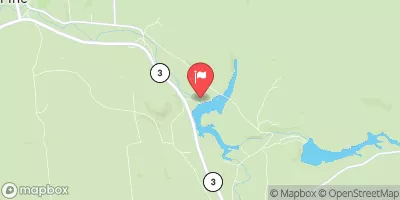
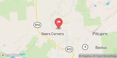
 Stillwater - South Dam
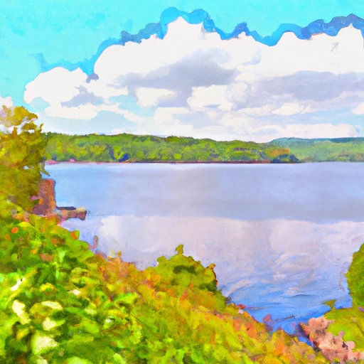 Stillwater Reservoir Nr Beaver River Ny