Falls Lake Above Dam Nr Falls Reservoir Report
Last Updated: February 24, 2026
Falls Lake, located above the Falls Dam in North Carolina, was created in 1981 as a reservoir for hydroelectric power generation and to provide drinking water for the surrounding communities.
Summary
The lake is fed by several surface flow providers, including the Little River, Eno River, and Flat River, and is also dependent on snowpack from the nearby mountains. Falls Lake is crucial for agriculture as it provides irrigation for nearby farms and is a popular recreational spot for fishing, boating, and camping. However, the lake has faced environmental challenges such as algal blooms and pollution from nearby agricultural activities. In recent years, efforts have been made to improve the water quality of Falls Lake through better management practices and increased awareness.
°F
°F
mph
Wind
%
Humidity
15-Day Weather Outlook
Reservoir Details
| Lake Or Reservoir Water Surface Elevation Above Ngvd 1929, Ft 24hr Change | -0.01% |
| Percent of Normal | 99% |
| Minimum |
247.33 ft
2011-11-04 |
| Maximum |
261.21 ft
2016-01-02 |
| Average | 253 ft |
| Dam_Height | 92 |
| Hydraulic_Height | 88 |
| Drainage_Area | 770 |
| Year_Completed | 1981 |
| Nid_Storage | 1020980 |
| Structural_Height | 92 |
| River_Or_Stream | NEUSE RIVER |
| Foundations | Rock |
| Surface_Area | 11310 |
| Hazard_Potential | High |
| Outlet_Gates | Roller - 0 |
| Dam_Length | 1915 |
| Primary_Dam_Type | Earth |
| Nid_Height | 92 |
Seasonal Comparison
Temperature, Water, °C Levels
Precipitation, Total, In Levels
Gage Height, Ft Levels
Lake Or Reservoir Water Surface Elevation Above Ngvd 1929, Ft Levels
5-Day Hourly Forecast Detail
Nearby Streamflow Levels
Dam Data Reference
Condition Assessment
SatisfactoryNo existing or potential dam safety deficiencies are recognized. Acceptable performance is expected under all loading conditions (static, hydrologic, seismic) in accordance with the minimum applicable state or federal regulatory criteria or tolerable risk guidelines.
Fair
No existing dam safety deficiencies are recognized for normal operating conditions. Rare or extreme hydrologic and/or seismic events may result in a dam safety deficiency. Risk may be in the range to take further action. Note: Rare or extreme event is defined by the regulatory agency based on their minimum
Poor A dam safety deficiency is recognized for normal operating conditions which may realistically occur. Remedial action is necessary. POOR may also be used when uncertainties exist as to critical analysis parameters which identify a potential dam safety deficiency. Investigations and studies are necessary.
Unsatisfactory
A dam safety deficiency is recognized that requires immediate or emergency remedial action for problem resolution.
Not Rated
The dam has not been inspected, is not under state or federal jurisdiction, or has been inspected but, for whatever reason, has not been rated.
Not Available
Dams for which the condition assessment is restricted to approved government users.
Hazard Potential Classification
HighDams assigned the high hazard potential classification are those where failure or mis-operation will probably cause loss of human life.
Significant
Dams assigned the significant hazard potential classification are those dams where failure or mis-operation results in no probable loss of human life but can cause economic loss, environment damage, disruption of lifeline facilities, or impact other concerns. Significant hazard potential classification dams are often located in predominantly rural or agricultural areas but could be in areas with population and significant infrastructure.
Low
Dams assigned the low hazard potential classification are those where failure or mis-operation results in no probable loss of human life and low economic and/or environmental losses. Losses are principally limited to the owner's property.
Undetermined
Dams for which a downstream hazard potential has not been designated or is not provided.
Not Available
Dams for which the downstream hazard potential is restricted to approved government users.
Area Campgrounds
| Location | Reservations | Toilets |
|---|---|---|
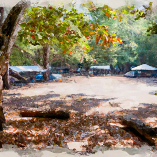 Durant Nature Park
|
||
 Shoreline Campground
|
||
 Blue Heron Campground
|
||
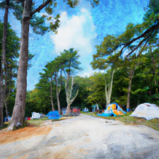 Bootleg Point Campground
|
||
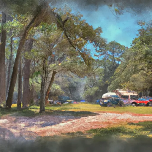 Osprey Nest Campground
|
||
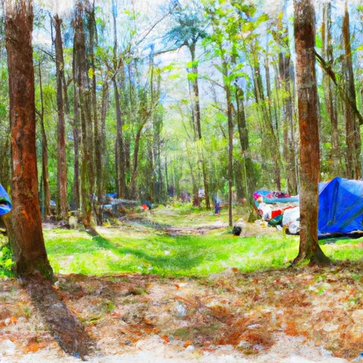 Shortleaf Pine Campground
|

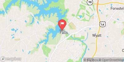


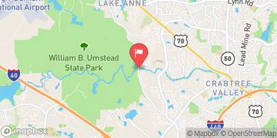

 Falls Lake Dam
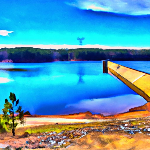 Falls Lake Above Dam Nr Falls
 Barton's Creek Boat Ramp