
Merrill & Rutherford Dam Reservoir Report
Nearby: Beecher Lake Dam Forest Lake Dam
Last Updated: December 6, 2025
Located in Ulster County, New York, the Merrill & Rutherford Dam stands as a testament to recreational water resource management.
°F
°F
mph
Wind
%
Humidity
Summary
Completed in 1969, this private earth dam on TR-Beecher Brook offers a surface area of 10 acres and a storage capacity of 53 acre-feet. With a low hazard potential and a moderate risk assessment rating, the dam's primary purpose is to provide recreational opportunities for visitors in the city of Hardenburg.
Managed by the New York State Department of Environmental Conservation, the Merrill & Rutherford Dam has a spillway width of 30 feet and a maximum discharge capability of 720 cubic feet per second. Despite its age, the dam has not undergone any modifications in recent years and is currently rated as "Not Rated" in terms of condition assessment. While the dam's emergency action plan status and risk management measures are not specified, its operational oversight by the state regulatory agency ensures that safety and compliance standards are maintained.
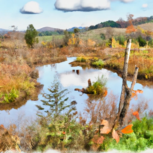
Surrounded by the natural beauty of Ulster County, the Merrill & Rutherford Dam provides a tranquil setting for water and climate enthusiasts to explore. While its exact location and associated structures remain undisclosed, the dam's presence on TR-Beecher Brook offers a serene escape for outdoor recreation. With its historical significance and ongoing state regulation, this dam serves as a valuable resource for both locals and visitors alike to enjoy nature's wonders responsibly.
Year Completed |
1969 |
Dam Length |
590 |
Dam Height |
11 |
River Or Stream |
TR-BEECHER BROOK |
Primary Dam Type |
Earth |
Surface Area |
10 |
Drainage Area |
0.26 |
Nid Storage |
53 |
Hazard Potential |
Low |
Nid Height |
11 |
Seasonal Comparison
Weather Forecast
Nearby Streamflow Levels

Dam Data Reference
Condition Assessment
SatisfactoryNo existing or potential dam safety deficiencies are recognized. Acceptable performance is expected under all loading conditions (static, hydrologic, seismic) in accordance with the minimum applicable state or federal regulatory criteria or tolerable risk guidelines.
Fair
No existing dam safety deficiencies are recognized for normal operating conditions. Rare or extreme hydrologic and/or seismic events may result in a dam safety deficiency. Risk may be in the range to take further action. Note: Rare or extreme event is defined by the regulatory agency based on their minimum
Poor A dam safety deficiency is recognized for normal operating conditions which may realistically occur. Remedial action is necessary. POOR may also be used when uncertainties exist as to critical analysis parameters which identify a potential dam safety deficiency. Investigations and studies are necessary.
Unsatisfactory
A dam safety deficiency is recognized that requires immediate or emergency remedial action for problem resolution.
Not Rated
The dam has not been inspected, is not under state or federal jurisdiction, or has been inspected but, for whatever reason, has not been rated.
Not Available
Dams for which the condition assessment is restricted to approved government users.
Hazard Potential Classification
HighDams assigned the high hazard potential classification are those where failure or mis-operation will probably cause loss of human life.
Significant
Dams assigned the significant hazard potential classification are those dams where failure or mis-operation results in no probable loss of human life but can cause economic loss, environment damage, disruption of lifeline facilities, or impact other concerns. Significant hazard potential classification dams are often located in predominantly rural or agricultural areas but could be in areas with population and significant infrastructure.
Low
Dams assigned the low hazard potential classification are those where failure or mis-operation results in no probable loss of human life and low economic and/or environmental losses. Losses are principally limited to the owner's property.
Undetermined
Dams for which a downstream hazard potential has not been designated or is not provided.
Not Available
Dams for which the downstream hazard potential is restricted to approved government users.
Area Campgrounds
| Location | Reservations | Toilets |
|---|---|---|
 Little Pond - DEC
|
||
 Mongaup Pond - DEC
|
||
 Onteora Scout Reservation
|
||
 Willowemoc Campground
|
||
 Beaverkill - DEC
|
||
 Cold Spring Lodge
|
 Merrill & Rutherford Dam
 Beaver Kill Near Turnwood Ny
 Willowemoc Creek At Debruce Ny
 Neversink River At Halls Mills Near Curry Ny
 Beaver Kill At Craigie Clair Ny
 Willowemoc Creek Nr Livingston Manor Ny