


Merrill Creek Northwest Dike 1 Reservoir Report
Last Updated: May 2, 2026
°F
°F
mph
Wind
%
Humidity
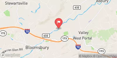
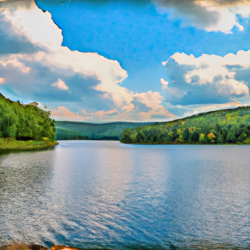
Merrill Creek Northwest Dike 1 is a crucial water resource structure located in Warren, New Jersey, along the Merrill Creek river.
Summary
This private-owned earth dam stands at a height of 20 feet and spans 800 feet in length, providing a storage capacity of 46,000 acre-feet. With a surface area of 690 acres and a drainage area of 2 square miles, this dike plays a pivotal role in managing water flow and storage in the region.
Managed by the New Jersey Department of Environmental Protection (NJDEP), Merrill Creek Northwest Dike 1 is regulated, permitted, inspected, and enforced by the state authorities to ensure its structural integrity and safety. Despite its high hazard potential, the dam's condition assessment remains satisfactory, with the last inspection conducted in June 2021. In case of emergencies, an Emergency Action Plan (EAP) is in place, although details on its preparation and compliance with guidelines are yet to be updated.
For water resource and climate enthusiasts, Merrill Creek Northwest Dike 1 serves as a critical infrastructure for water management and flood control in the Harmony Township area. With its significant storage capacity and state-regulated maintenance, this earth dam plays a vital role in safeguarding the surrounding communities and environment from potential risks. As a part of the larger water resource system in New Jersey, this dike stands as a testament to efficient water infrastructure management and regulatory oversight in the region.
Regional Streamflow Levels
 Musconetcong River Near Bloomsbury Nj
|
214cfs |
 Delaware River At Belvidere Nj
|
10200cfs |
 Beaver Brook Near Belvidere Nj
|
72cfs |
 Bushkill Creek Ab Rt 33 Bridge At Tatamy
|
194cfs |
 Lehigh River At Glendon
|
2910cfs |
 Pequest River At Pequest Nj
|
165cfs |
15-Day Long Term Forecast
Dam Length |
800 |
Dam Height |
20 |
River Or Stream |
Merrill Creek |
Primary Dam Type |
Earth |
Surface Area |
690 |
Drainage Area |
2 |
Nid Storage |
46000 |
Hazard Potential |
High |
Nid Height |
20 |
Seasonal Comparison
5-Day Hourly Forecast Detail
Dam Data Reference
Condition Assessment
SatisfactoryNo existing or potential dam safety deficiencies are recognized. Acceptable performance is expected under all loading conditions (static, hydrologic, seismic) in accordance with the minimum applicable state or federal regulatory criteria or tolerable risk guidelines.
Fair
No existing dam safety deficiencies are recognized for normal operating conditions. Rare or extreme hydrologic and/or seismic events may result in a dam safety deficiency. Risk may be in the range to take further action. Note: Rare or extreme event is defined by the regulatory agency based on their minimum
Poor A dam safety deficiency is recognized for normal operating conditions which may realistically occur. Remedial action is necessary. POOR may also be used when uncertainties exist as to critical analysis parameters which identify a potential dam safety deficiency. Investigations and studies are necessary.
Unsatisfactory
A dam safety deficiency is recognized that requires immediate or emergency remedial action for problem resolution.
Not Rated
The dam has not been inspected, is not under state or federal jurisdiction, or has been inspected but, for whatever reason, has not been rated.
Not Available
Dams for which the condition assessment is restricted to approved government users.
Hazard Potential Classification
HighDams assigned the high hazard potential classification are those where failure or mis-operation will probably cause loss of human life.
Significant
Dams assigned the significant hazard potential classification are those dams where failure or mis-operation results in no probable loss of human life but can cause economic loss, environment damage, disruption of lifeline facilities, or impact other concerns. Significant hazard potential classification dams are often located in predominantly rural or agricultural areas but could be in areas with population and significant infrastructure.
Low
Dams assigned the low hazard potential classification are those where failure or mis-operation results in no probable loss of human life and low economic and/or environmental losses. Losses are principally limited to the owner's property.
Undetermined
Dams for which a downstream hazard potential has not been designated or is not provided.
Not Available
Dams for which the downstream hazard potential is restricted to approved government users.
Area Campgrounds
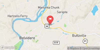
 Driftstone on the Delaware
 Spruce Run Recreation Area
 Voorhees State Park
 Dogwood Haven Family Campground
 Colonial Woods Family Camping Resort
 Camp Dina
Nearby Reservoirs
-
Merrill Creek Northwest Dike 1
-
Merrill Creek Northwest Dike 2
-
Merrill Creek Main Dam
-
Merrill Creek Res. Se Dike
-
Everwood Pond Dam
-
Martins Creek Ses Ash Basin No 4
-
 Mcmichael Creek Near Stroudsburg
-
 Pocono Creek Near Stroudsburg
-
 Delaware River Near Delaware Water Gap Pa
-
 Lake Hopatcong At Landing Nj
-
 Beltzville Lake Near Parryville
-
 Buck Hill Creek At Buck Hill Falls
 Martins Creek Access Area