


Harmon Creek No. 4 Dam Reservoir Report
Last Updated: April 28, 2026
°F
°F
mph
Wind
%
Humidity
Harmon Creek No.
Summary
4 Dam, also known as Mechling Run Dam, is a local government-owned structure located in Colliers, West Virginia. Built in 1970 by the USDA NRCS, this earth dam stands at a height of 64 feet and serves primarily for flood risk reduction along Mechling Run. The dam has a storage capacity of 174 acre-feet and covers a drainage area of 0.74 square miles.
With a high hazard potential and satisfactory condition assessment, Harmon Creek No. 4 Dam is regulated by the West Virginia Department of Environmental Protection. The dam features an uncontrolled spillway and outlet gates, with a maximum hydraulic height of 62 feet. Despite its moderate risk assessment rating, the dam has not undergone recent modifications and is inspected every two years to ensure its structural integrity and safety.
Enthusiasts of water resources and climate management will appreciate the design and purpose of Harmon Creek No. 4 Dam in mitigating flood risks in the Brooke County area. As a critical infrastructure in the region, the dam plays a crucial role in protecting the surrounding community from potential inundation events. Its historical significance, construction details, and ongoing regulatory oversight provide valuable insights into the intersection of water resource management and public safety.
Regional Streamflow Levels
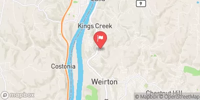 Kings Creek At Weirton
|
26cfs |
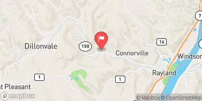 Short Creek Near Dillonvale Oh
|
102cfs |
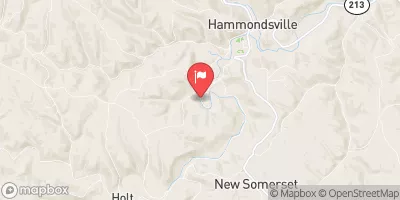 Yellow Creek Near Hammondsville Oh
|
89cfs |
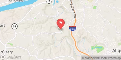 Raccoon Creek At Moffatts Mill
|
108cfs |
 Ohio River At Sewickley
|
38800cfs |
 Little Beaver Creek Near East Liverpool Oh
|
514cfs |
15-Day Long Term Forecast
Year Completed |
1970 |
Dam Length |
335 |
Dam Height |
64 |
River Or Stream |
MECHLING RUN |
Primary Dam Type |
Earth |
Surface Area |
2 |
Hydraulic Height |
62 |
Drainage Area |
0.74 |
Nid Storage |
174 |
Outlet Gates |
Uncontrolled |
Hazard Potential |
High |
Foundations |
Rock, Soil |
Nid Height |
64 |
Seasonal Comparison
5-Day Hourly Forecast Detail
Dam Data Reference
Condition Assessment
SatisfactoryNo existing or potential dam safety deficiencies are recognized. Acceptable performance is expected under all loading conditions (static, hydrologic, seismic) in accordance with the minimum applicable state or federal regulatory criteria or tolerable risk guidelines.
Fair
No existing dam safety deficiencies are recognized for normal operating conditions. Rare or extreme hydrologic and/or seismic events may result in a dam safety deficiency. Risk may be in the range to take further action. Note: Rare or extreme event is defined by the regulatory agency based on their minimum
Poor A dam safety deficiency is recognized for normal operating conditions which may realistically occur. Remedial action is necessary. POOR may also be used when uncertainties exist as to critical analysis parameters which identify a potential dam safety deficiency. Investigations and studies are necessary.
Unsatisfactory
A dam safety deficiency is recognized that requires immediate or emergency remedial action for problem resolution.
Not Rated
The dam has not been inspected, is not under state or federal jurisdiction, or has been inspected but, for whatever reason, has not been rated.
Not Available
Dams for which the condition assessment is restricted to approved government users.
Hazard Potential Classification
HighDams assigned the high hazard potential classification are those where failure or mis-operation will probably cause loss of human life.
Significant
Dams assigned the significant hazard potential classification are those dams where failure or mis-operation results in no probable loss of human life but can cause economic loss, environment damage, disruption of lifeline facilities, or impact other concerns. Significant hazard potential classification dams are often located in predominantly rural or agricultural areas but could be in areas with population and significant infrastructure.
Low
Dams assigned the low hazard potential classification are those where failure or mis-operation results in no probable loss of human life and low economic and/or environmental losses. Losses are principally limited to the owner's property.
Undetermined
Dams for which a downstream hazard potential has not been designated or is not provided.
Not Available
Dams for which the downstream hazard potential is restricted to approved government users.