
Sweetwater Lake - Site 7 Reservoir Report
Nearby: Coleman Lake High Rock Lake - Site 24
Last Updated: January 12, 2026
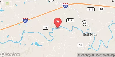
Sweetwater Lake - Site 7 in Cleburne, Alabama, is a Federal-owned dam managed by the USDA NRCS and USDA FS.
°F
°F
mph
Wind
%
Humidity
Summary
Completed in 1971, this Earth dam stands at a height of 74 feet and has a hydraulic height of 19 feet. The dam serves primarily for flood risk reduction, with secondary purposes including recreation. It has a storage capacity of 6610 acre-feet and a normal storage of 326 acre-feet, located on Shoal Creek.
The dam features a controlled spillway with a width of 10 feet and vertical lift outlet gates. With a high hazard potential and a very high risk assessment rating, the dam's condition is currently not rated. The last inspection took place in April 2014, with regular inspections scheduled at a frequency of 1 year. The dam poses significant risks, and additional risk management measures may be necessary to ensure the safety and stability of the structure and the surrounding area.
Sweetwater Lake - Site 7 offers a valuable example of water resource management and flood risk reduction in Alabama. Its location in the Mobile District underlines the importance of sustainable infrastructure for climate resilience. As water resource and climate enthusiasts, monitoring the condition and maintenance of dams like Sweetwater Lake - Site 7 is crucial for understanding the intersection of water management, climate change, and community safety.
Year Completed |
1971 |
Dam Length |
777 |
Dam Height |
74 |
River Or Stream |
SHOAL CREEK |
Primary Dam Type |
Earth |
Hydraulic Height |
19 |
Drainage Area |
9 |
Nid Storage |
6610 |
Outlet Gates |
Vertical Lift |
Hazard Potential |
High |
Nid Height |
74 |
Seasonal Comparison
Weather Forecast
Nearby Streamflow Levels
 Tallapoosa River Near Heflin
|
4180cfs |
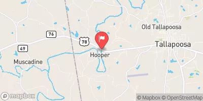 Tallapoosa River Below Tallapoosa
|
2690cfs |
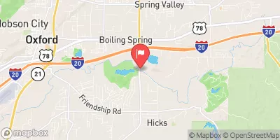 Choccolocco Creek Near Boiling Spring
|
1860cfs |
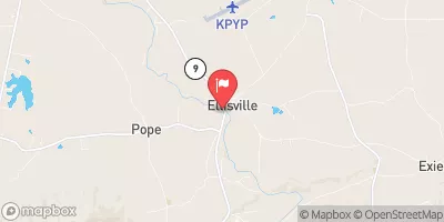 Terrapin Creek At Ellisville Al
|
1840cfs |
 Little Tallapoosa River Near Newell Al
|
2310cfs |
 Little Tallapoosa River Below Bowdon
|
1430cfs |
Dam Data Reference
Condition Assessment
SatisfactoryNo existing or potential dam safety deficiencies are recognized. Acceptable performance is expected under all loading conditions (static, hydrologic, seismic) in accordance with the minimum applicable state or federal regulatory criteria or tolerable risk guidelines.
Fair
No existing dam safety deficiencies are recognized for normal operating conditions. Rare or extreme hydrologic and/or seismic events may result in a dam safety deficiency. Risk may be in the range to take further action. Note: Rare or extreme event is defined by the regulatory agency based on their minimum
Poor A dam safety deficiency is recognized for normal operating conditions which may realistically occur. Remedial action is necessary. POOR may also be used when uncertainties exist as to critical analysis parameters which identify a potential dam safety deficiency. Investigations and studies are necessary.
Unsatisfactory
A dam safety deficiency is recognized that requires immediate or emergency remedial action for problem resolution.
Not Rated
The dam has not been inspected, is not under state or federal jurisdiction, or has been inspected but, for whatever reason, has not been rated.
Not Available
Dams for which the condition assessment is restricted to approved government users.
Hazard Potential Classification
HighDams assigned the high hazard potential classification are those where failure or mis-operation will probably cause loss of human life.
Significant
Dams assigned the significant hazard potential classification are those dams where failure or mis-operation results in no probable loss of human life but can cause economic loss, environment damage, disruption of lifeline facilities, or impact other concerns. Significant hazard potential classification dams are often located in predominantly rural or agricultural areas but could be in areas with population and significant infrastructure.
Low
Dams assigned the low hazard potential classification are those where failure or mis-operation results in no probable loss of human life and low economic and/or environmental losses. Losses are principally limited to the owner's property.
Undetermined
Dams for which a downstream hazard potential has not been designated or is not provided.
Not Available
Dams for which the downstream hazard potential is restricted to approved government users.
Area Campgrounds
| Location | Reservations | Toilets |
|---|---|---|
 Pine Glen Recreation Area
|
||
 Pine Glen
|
||
 Big Oak Gap Hunter Camp
|
||
 Coleman Lake Recreation Area
|
||
 Coleman Lake Rec Area
|
 Sweetwater Lake - Site 7