
Summary
Completed in 2011, it stands at a height of 35 feet and has a maximum storage capacity of 550 acre-feet. The dam's primary purpose is classified as 'Other', and it is primarily constructed of Earth and Stone materials with Rock and Soil foundations.
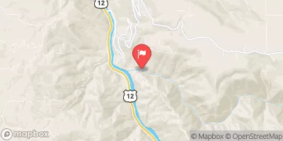
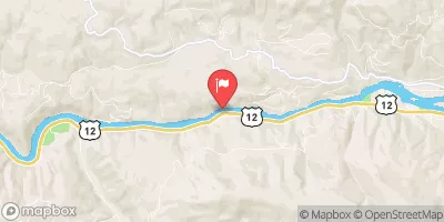
Situated on Schmidt Creek and Lolo Creek, Deyo serves a crucial role in managing water resources in the region, with a drainage area of 2.3 square miles and a spillway width of 21 feet. The dam features an uncontrolled spillway type and slide (sluice gate) outlet gates. Despite its significant hazard potential, the dam's risk assessment is moderate, with regular inspections and a risk management plan in place to ensure public safety and water resource management in the area.
Overall, Deyo is a vital water management structure in Idaho, playing a key role in flood control and water storage. With state regulation and regular inspections, the dam maintains a satisfactory condition and is equipped to handle potential risks. Its presence on Schmidt Creek and Lolo Creek underscores its importance in safeguarding the local environment and communities against water-related hazards.
Year Completed |
2011 |
Dam Length |
345 |
Dam Height |
35 |
River Or Stream |
SCHMIDT CREEK LOLO CREEK |
Surface Area |
55 |
Hydraulic Height |
30 |
Drainage Area |
2.3 |
Nid Storage |
550 |
Structural Height |
41 |
Outlet Gates |
Slide (sluice gate) |
Hazard Potential |
Significant |
Foundations |
Rock, Soil |
Nid Height |
41 |
Seasonal Comparison
Weather Forecast
Nearby Streamflow Levels
 Lolo Creek Nr Greer Id
|
771cfs |
 Clearwater River At Orofino Id
|
12500cfs |
 Clear Ck At Kooskia National Fish Hatchery
|
18cfs |
 Sf Clearwater River At Stites Id
|
662cfs |
 Clearwater River Nr Peck Id
|
13800cfs |
 Big Canyon Creek Nr Peck Id
|
62cfs |
Dam Data Reference
Condition Assessment
SatisfactoryNo existing or potential dam safety deficiencies are recognized. Acceptable performance is expected under all loading conditions (static, hydrologic, seismic) in accordance with the minimum applicable state or federal regulatory criteria or tolerable risk guidelines.
Fair
No existing dam safety deficiencies are recognized for normal operating conditions. Rare or extreme hydrologic and/or seismic events may result in a dam safety deficiency. Risk may be in the range to take further action. Note: Rare or extreme event is defined by the regulatory agency based on their minimum
Poor A dam safety deficiency is recognized for normal operating conditions which may realistically occur. Remedial action is necessary. POOR may also be used when uncertainties exist as to critical analysis parameters which identify a potential dam safety deficiency. Investigations and studies are necessary.
Unsatisfactory
A dam safety deficiency is recognized that requires immediate or emergency remedial action for problem resolution.
Not Rated
The dam has not been inspected, is not under state or federal jurisdiction, or has been inspected but, for whatever reason, has not been rated.
Not Available
Dams for which the condition assessment is restricted to approved government users.
Hazard Potential Classification
HighDams assigned the high hazard potential classification are those where failure or mis-operation will probably cause loss of human life.
Significant
Dams assigned the significant hazard potential classification are those dams where failure or mis-operation results in no probable loss of human life but can cause economic loss, environment damage, disruption of lifeline facilities, or impact other concerns. Significant hazard potential classification dams are often located in predominantly rural or agricultural areas but could be in areas with population and significant infrastructure.
Low
Dams assigned the low hazard potential classification are those where failure or mis-operation results in no probable loss of human life and low economic and/or environmental losses. Losses are principally limited to the owner's property.
Undetermined
Dams for which a downstream hazard potential has not been designated or is not provided.
Not Available
Dams for which the downstream hazard potential is restricted to approved government users.
 Deyo
Deyo